East Coast (Gyeongbuk) Bike Path: 76km and 5 Certification Centers
Cycling · Published 7/30/2026 ·
자전거길 트랙·시설 (공공데이터: 행정안전부 국토종주 자전거길 DB) · 🏆인증센터 💧급수대 🚻화장실 🔧공기주입기 · 지도 © OpenStreetMap ⤓ GPX 다운로드
At a Glance
| Metric | Rating |
|---|---|
| Course difficulty | ★★★☆☆ |
| Supplies & amenities (certification centers, water stations) | ★★★★☆ |
| Certification centers (5) | ★★★★☆ |
| Seasonal difficulty — spring | ★★☆☆☆ |
| Seasonal difficulty — summer | ★★★★☆ |
| Seasonal difficulty — autumn | ★★☆☆☆ |
| Seasonal difficulty — winter | ★★★★☆ |
※ Source: Ministry of the Interior and Safety, Cross-Country Bike Trail Database · Seasonal ratings are approximate
Overview
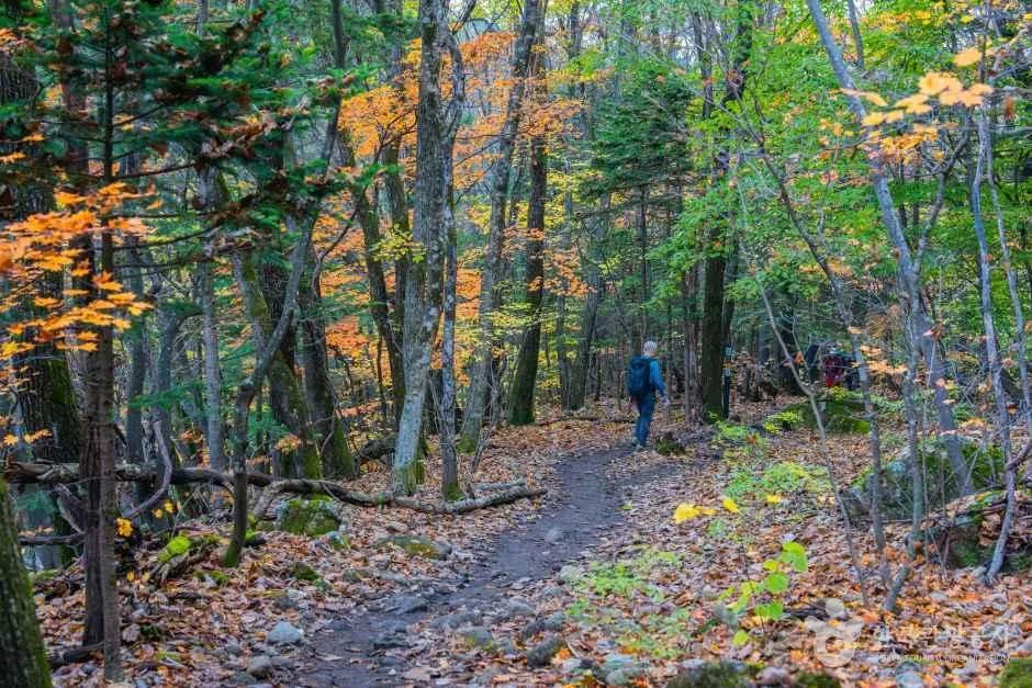
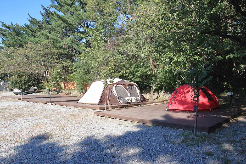 Photo: Korea Tourism Organization photo gallery (3166 Donghae-daero, Songna-myeon, Buk-gu, Pohang-si, Gyeongsangbuk-do) · KOGL
The Donghaean Gyeongbuk Bike Path runs north to south along the northern coastline of Gyeongsangbuk-do — a genuine seaside route. It’s one of the few paths in the national cross-country network that doesn’t follow a river, and the fact that the East Sea sits off to one side the entire way tells you pretty much everything about its character. Where riverside paths give you a calm, steady rhythm, this one keeps changing: breakwaters, fishing harbors, beachfront boardwalks, and short climbs up and over the coastal terraces, one after another. You won’t be crossing any real mountains, but it’s not all flat either, so calling it intermediate feels about right.
There are roughly four ways to approach it.
- One-day full run: Set off early, reach the end point in the afternoon, and head home that evening by train or bus. Good if you’ve got the legs and want to collect all the certification stamps in a single go.
- Two days, one night, taking it easy: Break the ride at one of the fishing villages along the way, have some seafood for dinner, and finish the remaining distance the next day. This is the most satisfying option if you like taking photos or want to catch the sunrise.
- Brompton or minivelo + public transport: Fold the bike into a bag, take the train out, ride just the 20–30km stretch that appeals to you, and catch the train back. It’s the cleanest way to deal with the hassle of getting home from a one-way route.
- Short sections for families and beginners: Pick one of the stretches where the beach boardwalk and dedicated path connect nicely, and ride it out and back. You don’t have to do the whole thing to get what makes this route special.
Course Information
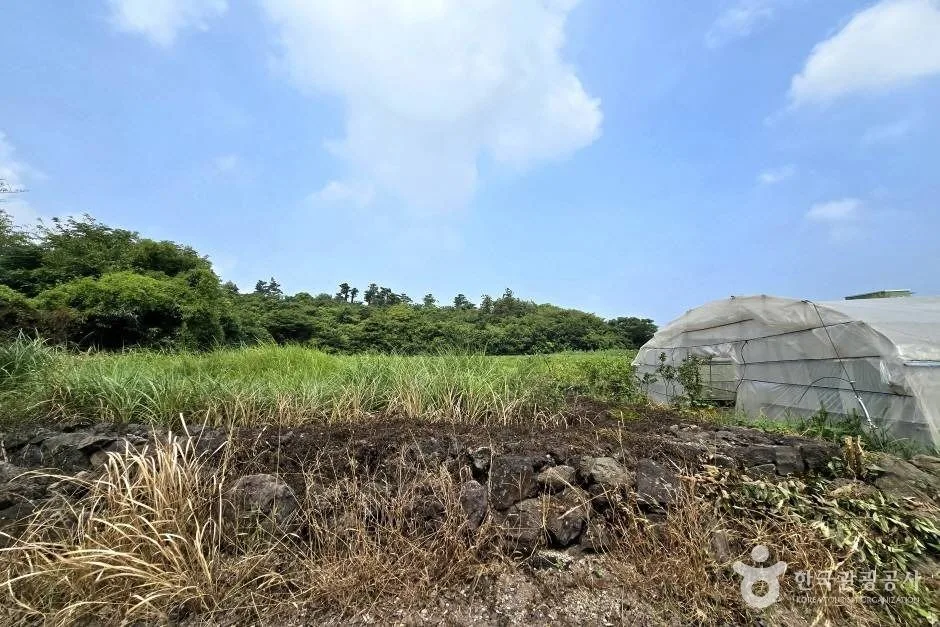
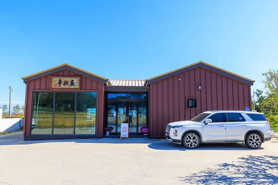 Photo: Korea Tourism Organization photo gallery (2798 Haean-ro, Buk-gu, Pohang, Gyeongsangbuk-do) · KOGL
The route runs one way, starting on the coast up near Uljin at the northern tip of Gyeongsangbuk-do and heading south toward the Yeongdeok shoreline. It hugs the coastline for most of its length, and the character of the ride changes noticeably from section to section.
- Fishing harbor sections: You’ll ride past breakwaters and lighthouses, between fishing nets and squid drying racks. The ground can be wet or cluttered with fishing gear, so it’s worth easing off the pace.
- Beachfront decks and dedicated paths: Wooden decking or paved bike-only paths run right alongside the sand. This is the most photogenic stretch of the whole route, and a lot of it is shared with pedestrians.
- Marine terrace climbs: Getting over the coastal cliffs means short but fairly steep pitches, over and over. None of them are long, but they keep coming — so don’t burn through your gears too early.
- Highway-adjacent sections: There’s a mix of shared and parallel stretches running alongside the coastal road. There’s car traffic here, so this is the part of the route that demands the most attention.
There are five certification centers in all, generally placed at landmarks that are hard to miss — beaches, harbors, parks. The spacing between them creates a natural rhythm for breaks, so before you set off, check the names and order of all five on the route map in your certification passport and portion out your water and snacks according to the distances between them. It makes pacing yourself a lot easier.
Food Along the Way
The Uljin and Yeongdeok area this route passes through is the part of Korea best known for snow crab. Rather than picking a specific restaurant ahead of time, most people just wander into the shops clustered near the harbor, check the day’s going rate, and choose from there.
- Snow crab and red snow crab: The signature dish of this region. Peak season generally runs from winter into spring.
- Mulhoe: Raw fish and vegetables in a tangy cold broth — a popular recovery meal after a hot-weather ride.
- Squid, scallops, and grilled seafood: Easy to find all around the fishing harbors.
- Gumchi-guk and other fish soups: Warming bowls for the cold months.
- Processed seaweed products like miyeok and dasima: The area’s best-known coastal specialty.
One thing to watch out for on the resupply front: along the empty coastal stretches between villages, convenience stores can go missing for quite a while. Stores tend to cluster in the fishing villages, and it’s safest to treat everything in between as a no-resupply zone. This is also a tourist-heavy area, which means more places are closed on weekdays in the off-season. My advice: top up at every convenience store you actually see.
Supplies & Facilities
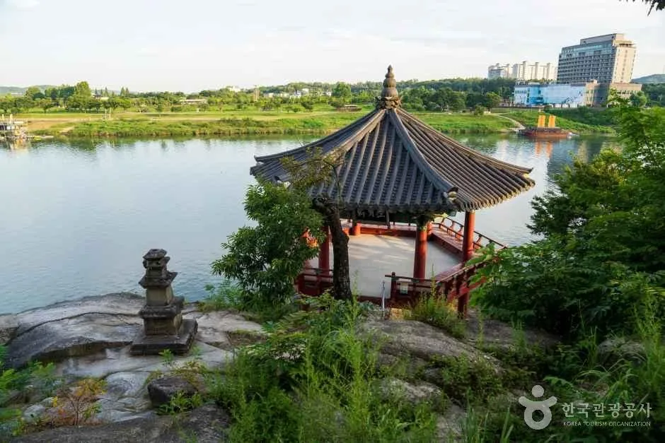
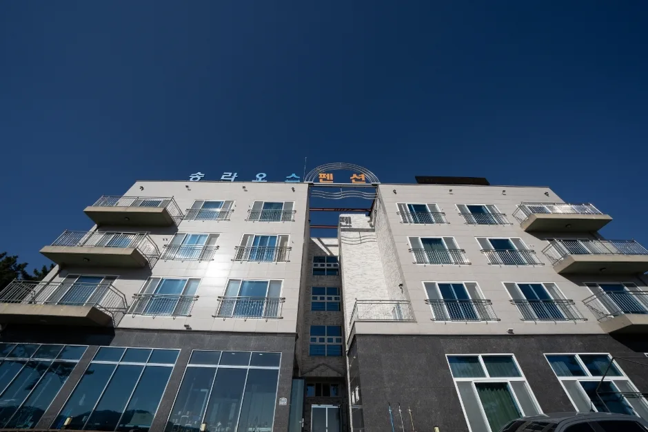 Photo: Korea Tourism Organization photo gallery (3229-24 Donghae-daero, Songna-myeon, Buk-gu, Pohang-si, Gyeongsangbuk-do) · KOGL
| Facility | Count | Use |
|---|---|---|
| Certification centers | 5 | Stamp collection, rest and reference points |
| Restrooms | 69 | Concentrated around beaches, harbors, and parks |
| Water stations | 6 | Bottle refill points |
| Air pumps | 2 | Tire pressure checks before and during the ride |
Sixty-nine restrooms is the one thing this course has in genuine abundance. The six water stations and two air pumps, on the other hand, don’t go far for a route this long — so don’t count on the water stations alone; pick up bottled water at convenience stores as you go, and make sure your tire pressure is sorted before you set off.
This route is part of the national cross-country certification program. You collect stamps from each certification center in a Bike Passport — staffed centers have someone stamp it for you, while unstaffed ones have a stamp sitting in the booth for you to use yourself. Dried-out ink or damp paper will give you a faint, smudgy impression, so I’d recommend keeping the passport in a ziplock bag.
Getting Home
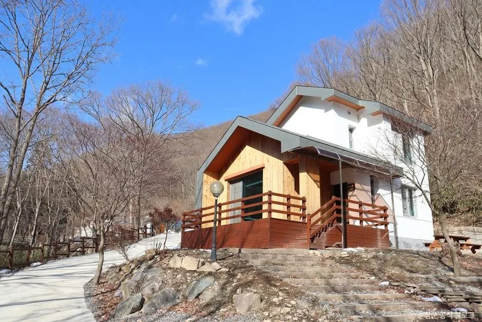
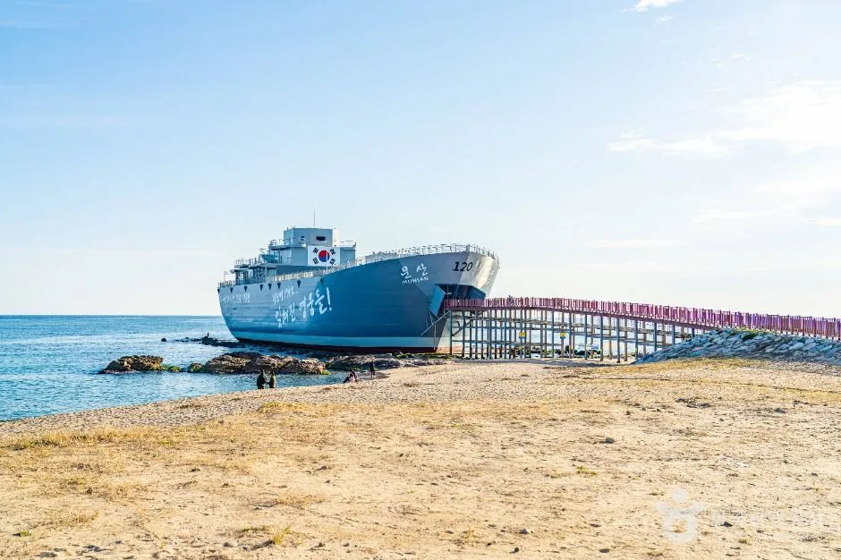 Photo: Korea Tourism Organization photo gallery (Jangsa-ri, Namjeong-myeon, Yeongdeok-gun, Gyeongsangbuk-do) · KOGL
Since this is a point-to-point route, planning the return trip is half the ride. Once you’ve covered 76km one way, you need to have already decided how you’re getting from the finish back to the start.
1) By train (the usual choice) The railway runs slightly inland along the Gyeongbuk east coast, with stations at the main points toward Uljin and Yeongdeok. Bringing a bike aboard generally works like this:
- On conventional trains (Mugunghwa, ITX and similar), some train sets have bike racks or are designated for regular bikes — but it varies by train set and time of day.
- On high-speed trains like the KTX, the rule is that only folding bikes, folded and packed into a cover or bag as luggage, are allowed.
- Unstaffed and minor stations can be awkward to move a bike through, given how the platforms are laid out.
Trains don’t run often on this stretch, so check the Korail app or a ticket window before you leave for that day’s timetable and whether bikes are allowed. Then work backward from the last train to set your finish time for the ride.
2) By bus Intercity and rural buses run along the coast. A folding bike stowed in the luggage compartment is usually no problem, but a regular bike may be turned away at the driver’s discretion. Useful stops near the route include Hanul Headquarters Nagok Housing, Nagok-ri, and Jigyeong-ri. Rural buses run infrequently and the last bus tends to leave early, so checking the timetable isn’t optional.
3) Ride back (152km round trip) Retracing the same road makes it 152km total. Doing that in one day takes serious fitness and an early start, and in the short-daylight months you’ll be riding in the dark whether you like it or not. Splitting it into two days and riding back the next morning is the realistic option. The upside is that you’re not tied to anyone’s timetable; the downside is that if the wind blows one direction all day, the return leg gets a lot harder.
4) Leave the car, come back for it You park at the start, ride, then take a train or bus back to collect the car. With two or more people, another common approach is to position two cars at either end.
Safety & Cautions
- Shared paths and pedestrians: The beachfront decks and the areas around the harbors are largely shared with people on foot. Slow down and give them a warning with your bell or your voice before you get close.
- Sections alongside traffic: Where the route runs parallel to the national highway, watch out for the wind blast from large vehicles and keep to the inside of the lane.
- Ice and sand: In winter, the shaded ups and downs and the areas near the breakwaters can ice over. And no matter the season, road surfaces close to the beach often have a thin layer of sand on them, which gets slippery — so ease off before corners.
- Lights after dark: Streetlights are few and far between around the fishing harbors and the coastal stretches. A front and rear light aren’t optional here; they’re essential.
- Water and dehydration: The sea breeze dries your sweat fast, so you feel thirsty later than you should. Drink on a schedule rather than waiting until you’re thirsty, and add electrolytes in the warmer months.
- Dogs and fishing gear: Passing through fishing villages, keep an eye out for unleashed dogs and for nets and ropes lying across the road.
Season, Weather, and Gear
The times I’d recommend most are late spring (May) and autumn (late September through October). Humidity is low, the air is clear, and that’s when the sea shows off its best color.
- Spring: Great riding conditions. That said, some days get windy, and the temperature swing between morning and afternoon means you’ll want a light windbreaker.
- Summer: The heat and harsh UV are the real burden, and during beach high season the crowds and traffic swell dramatically. Start early in the morning.
- Autumn: The most comfortable season overall. The sun sets early, so plan to finish earlier than you think you need to.
- Winter: You get the east coast’s signature north wind, a nosedive in wind chill, and ice all at once. Snow crab season is a genuine draw, but the difficulty definitely goes up.
Essential gear: helmet, front and rear lights, a puncture repair kit (spare tube, tire levers, hand pump), at least two water bottles, sunscreen, a windbreaker, a power bank, a little cash (for the small fishing-village shops), and — if you’re going for the certification program — your certification passbook.
Tips for International Travelers
① The route name in Roman letters Donghaean (Gyeongbuk) Bike Path — literally, “East Coast (Gyeongbuk) Bicycle Road.” Local signage usually shows either “Donghaean” or “East Coast” alongside the Korean. For navigation, the most reliable approach is simply following the blue line painted on the pavement and the certification center signs.
② The certification system, in practice This route is part of the national Cross-Country Certification program.
- Getting a Bike Passport: Buying one in person at a staffed certification center is by far the most practical route. The official online channel is Korean-only and often requires a domestic card or Korean identity verification, which makes buying ahead of time difficult. Grab your passport at a staffed center near wherever you plan to start.
- How unstaffed centers work: The unmanned booths are small structures shaped like red phone boxes. Open the door and you’ll find a stamp hanging inside on a chain. Press it into the right box in your passport and you’re done — no staff, no payment. The stamps aren’t always well positioned and the ink can be dry, so press firmly, and it’s worth photographing both the booth and your stamped passport as backup.
- After you finish: Once you’ve filled in a section, you can generally collect a section completion sticker at a staffed certification center, and if you meet the requirements there’s a program for completion certificates and medals too. Check the exact procedure and what you need to bring at the certification center itself — that’s the most reliable source.
③ If you’re arriving without a bike In Seoul, the public bike share Ttareungyi has an English app and takes foreign cards, which makes it handy for getting around the city — but it’s Seoul-only, so it won’t help you on this route. Along the East Coast you’ll be relying on private rental shops near the beaches and tourist spots, and there’s no guarantee they’ll have a bike suited to long-distance riding. If your goal is the full route, the safest bet is to bring a folding bike, or book a long-term rental in advance from a proper bike shop in a major city (Seoul, Busan, Daegu, and so on).
④ Map apps Google Maps cycling directions don’t really work in Korea. Install KakaoMap or Naver Map and use their bicycle mode. Both have English interfaces, and both show bike-only paths and certification center locations far more accurately. There are stretches of coastline where you’ll lose signal, so I’d recommend saving offline maps before you set out and jotting down the coordinates of all five certification centers. For train and bus times, pairing the Korail app with local bus information will make your return plans a lot more solid.
Other Bike Paths Nearby
- Saejae Bike Path: route, distance, and all 7 certification centers — roughly 119 km as the crow flies
- Nakdong River Bike Path: route, distance, and certification centers — roughly 124 km as the crow flies
- Namhan River Bike Path: route, distance, and certification centers — roughly 168 km as the crow flies
📍 East Coast (Gyeongbuk) Bike Path: 76km and 5 Certification CentersLocation
Contact: bumseok.view [at] gmail [dot] com
Comments