Hwacheon Paro Lake 100-ri Oxygen Trail: Route and Distance
Cycling · Published 8/16/2026 ·
자전거길 트랙·시설 (공공데이터: 행정안전부 국토종주 자전거길 DB) · 🏆인증센터 💧급수대 🚻화장실 🔧공기주입기 · 지도 © OpenStreetMap ⤓ GPX 다운로드
| Metric | Rating |
|---|---|
| Course difficulty | ★★☆☆☆ |
| Supplies & amenities (certification centers, water stations) | ★☆☆☆☆ |
| Certification centers | ☆☆☆☆☆ (0) |
| Seasonal difficulty — spring | ★★☆☆☆ |
| Seasonal difficulty — summer | ★★★★☆ |
| Seasonal difficulty — fall | ★★☆☆☆ |
| Seasonal difficulty — winter | ★★★★★ |
※ The time estimate of roughly 1:47 assumes pure riding at an average of 17 km/h. Realistically, a round trip with breaks and photo stops takes 4–6 hours. ※ Source: certification and route information for Korea’s Cross-Country Bicycle Route (certification centers and route status) · seasonal ratings are approximate
At a Glance
| Item | Details |
|---|---|
| Route name | Hwacheon Paroho 100-ri Sanso-gil |
| Location | Hwacheon-gun, Gangwon-do |
| Distance | 30.2 km one way / 60.4 km round trip |
| Course type | Lakeside point-to-point (round trip recommended) |
| Surface | Mixed — waterside bike path plus low-traffic provincial and county roads |
| Elevation | Repeated short ups and downs, each climb 100–300 m long (not vertical gain); no passes to cross |
| Time needed | 4–6 hours round trip (including breaks and photo stops; about 1:47 of actual riding) |
| Certification program | Not included — zero certification centers, no stamps |
| Facilities | Restrooms 0 · water fountains 0 · air pumps 0 (none anywhere on the route) |
| Supplies | Concentrated at the start in Hwacheon-eup; effectively nothing once you’re on the lakeside |
| Best seasons | Late spring (May), autumn (late September to mid-October) |
| Seasons to avoid | Deep winter (ice, high winds, hypothermia), midsummer around noon |
| Who it’s for | Riders who ride for the scenery, families, intermediate beginners, Brompton and mini-velo travelers |
| Must bring | 1.5 L of water or more, hand pump and spare tube, front and rear lights, snacks |
| In one line | No infrastructure to speak of, but the views deliver — a quiet lakeside out-and-back |
💡 The short version
- A gentle lakeside route, 30.2 km one way and 60.4 km round trip — this is a road for scenery, not for personal bests.
- There isn’t a single certification center, water fountain, or air pump, so water and repair tools are entirely on you.
- Stock up in Hwacheon-eup before you set off, and know that turning back partway costs you nothing.
Overview
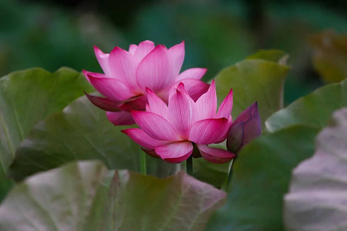 Photo: Korea Tourism Organization photo gallery (Hanam-myeon, Hwacheon-gun, Gangwon State) · KOGL
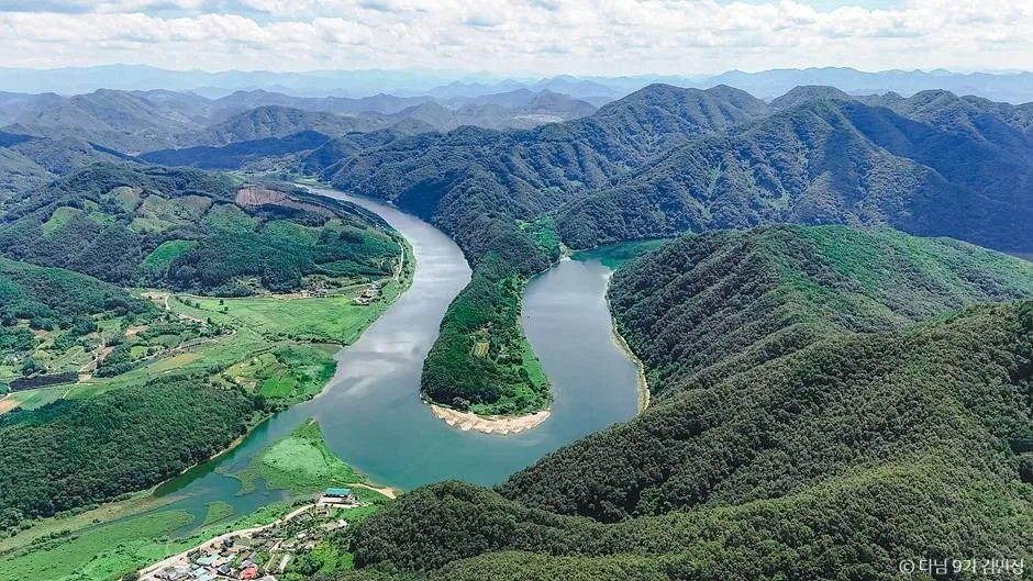
The Hwacheon Paroho 100-ri Sanso-gil is a lakeside route that runs along Paroho Lake, a man-made reservoir in Hwacheon-gun at the northernmost tip of Gangwon Province. The “Sanso-gil” — oxygen road — in the name isn’t just marketing copy. This area genuinely has dense forest cover and a low population density, and it’s known for its clean air. Don’t expect the wide, arrow-straight stretches of the Han River bike path. This route winds and unwinds in gentle curves that follow the contours of the lake, over and over. Every time the view opens up, you get another stretch where the water and the ridgelines layer on top of each other — which makes it far better suited to riding for the scenery than riding for a time.
There are roughly four ways to use it.
First, a day trip out and back. Leave in the morning, hit the turnaround point around lunchtime, ride home in the afternoon — that’s the most straightforward setup. Even with plenty of photo stops and breaks, you won’t run out of daylight.
Second, as one day of a two-day northern Gangwon tour. Use Hwacheon-eup as your base camp, ride this route out and back on day one, then move on to a nearby area the next day. Staying in town takes care of the resupply problem on its own.
Third, a Brompton or minivelo paired with public transit. Pack the folder into a bag, take an intercity bus up to Hwacheon, and unfold it once you’re there — that works nicely here. The route isn’t built around brutal climbs, so small wheels can handle it.
Fourth, an out-and-back for families and intermediate beginners. If tackling the whole thing feels like too much, you can cut it short — ride 8–10 km out from the start and turn around. You’ll still get the heart of the lake scenery.
Course Details
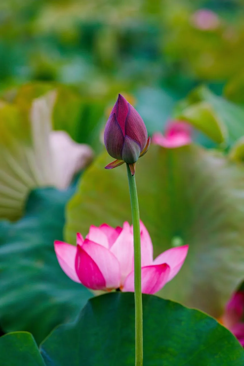 Photo: Korea Tourism Organization photo gallery (Hanam-myeon, Hwacheon-gun, Gangwon State) · KOGL
The route starts where you drop down to the lakeshore near Hwacheon-eup, runs northeast along the water’s edge of Paro Lake, and wraps up toward the upper end of the lake. Broken into stages, it goes something like this: ① the section next to town (shared with everyday traffic, with signals and intersections) → ② the approach to the lakeshore (traffic thins out fast once you’re hugging the water) → ③ the main lake section (the heart of the whole ride, curve after curve with short ups and downs) → ④ the final stretch at the upper end (the mountains close in and your sightlines narrow).
The surface isn’t a continuous, fully separated paved bike path like you get along the big rivers. It’s more of a hybrid, alternating between lakeside bike path and shared provincial or county roads that see very little traffic. So rather than expecting “a road with no cars at all,” it’s more accurate to think of it as “a quiet country lakeside road where a car passes now and then.” The pavement is generally in good shape, though depending on the season you’ll find stretches where soil washed down from the hills, or leaves and twigs, have piled up along the edge.
Elevation-wise it’s rollier than a flat riverside path, but you’re never really climbing a proper pass. Short hills of 100–300m in length (that’s riding distance, not vertical gain) crop up here and there, each one dropping straight into a descent — the same pattern over and over. That rhythm can make the ride feel a little harder than the distance suggests, so you’re better off holding a steady cadence than pushing the pace early on.
This route isn’t part of the national cross-country certification program, so there’s no hunting down certification centers for stamps along the way. What you get instead is the freedom to stop wherever you like and turn back at whatever point you choose.
Food in the Area
 Photo: Korea Tourism Organization photo gallery (Hanam-myeon, Hwacheon-gun, Gangwon State) · KOGL
The one dish Hwacheon is best known for is sancheoneo (mountain trout, grilled or as sashimi). The winter festival put this fish on the national map, so you’ll generally find it easily along the local restaurant strips. Beyond that, the usual suspects across northern Gangwon — dakgalbi and makguksu — show up everywhere, along with the mountain-region staples built on potatoes, corn, and tofu, and local produce like summer tomatoes. Being lake country, places serving freshwater maeuntang (spicy fish stew) are common too.
But from a practical riding standpoint, what matters isn’t what you eat — it’s where you can. On this route, restaurants and convenience stores are clustered near the start, toward Hwacheon town, and commercial facilities thin out fast the deeper you go along the lake. Plan on treating the middle section and the upstream turnaround as effectively unsupported.
⚠️ Resupply warning: Stock up on water and snacks in town before you set off. Once you’re into the lakeside section, there are long stretches where you can’t even count on a vending machine. If you’re planning a round trip, carry enough water for the whole thing from the very start.
Supplies & Facilities
 Photo: Korea Tourism Organization photo gallery (Hanam-myeon, Hwacheon-gun, Gangwon State) · KOGL
Here’s what the route has to offer, facility-wise.
| Facility | Count | Notes |
|---|---|---|
| Certification centers | 0 | Route not part of the certification program |
| Restrooms | 0 | Use public facilities in town beforehand |
| Water fountains | 0 | Bring your own water |
| Air pumps | 0 | Carry a hand pump or CO2 cartridges |
So in short: there are no rider-specific facilities registered along the route itself. That’s because this isn’t an urban or riverside infrastructure route — it’s a regional, tourism-oriented lakeside ride. Here’s how I’d actually handle it in practice:
- Water: Two 500ml bottles minimum. In summer, aim for at least 1.5L.
- Repairs: One spare tube, tire levers, and a hand pump (or CO2 cartridge) — non-negotiable. With no air pumps on the route, a flat is yours to fix.
- Restrooms: Use the public facilities in town before you set off, then take opportunities at tourist spots and village facilities as they come.
The certification passport and stamp system doesn’t apply to this route. I’ve explained how the certification program works in the tips for international travelers below.
Heading Home
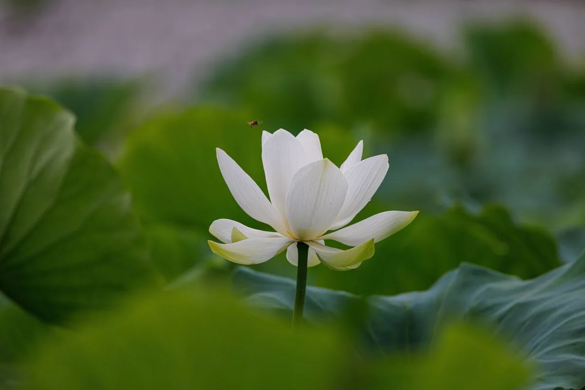 Photo: Korea Tourism Organization photo gallery (Hanam-myeon, Hwacheon-gun, Gangwon State) · KOGL
It’s an out-and-back route, but getting home isn’t much of a burden. At 30.2 km one way, the round trip comes to 60.4 km — an easy day’s ride. There’s no need to arrange some long-distance shuttle back; just turn around at the far end and retrace your route. It’s the simplest, surest option. In fact, riding it both ways means seeing the same road from the opposite direction, and plenty of people spot lake views on the way back that they missed entirely on the way out.
If you’re running low on energy, don’t be stubborn about reaching the end — just turn around wherever you are. This isn’t the kind of route where you collect a completion stamp, so picking your own turnaround point costs you nothing at all.
Safety & Cautions
 Photo: Korea Tourism Organization photo gallery (Hanam-myeon, Hwacheon-gun, Gangwon State) · KOGL
- Shared-road sections: Parts of this route are shared with cars. Traffic is light, but the cars that do come through can be moving fast, so make it a habit to stay right and check behind you. It’s safer to leave your tail light blinking even in daylight.
- Pedestrians and sightseers: Around the lakeside viewpoints, people can step into the road without warning. Slow down and give them a bell or a shout ahead of time.
- Ice: In winter and early spring, black ice can linger on the inside of curves that fall into the mountain’s shadow. Lakeside roads have stretches where moisture just doesn’t dry out, so always slow down for shaded corners.
- Night riding: There are long stretches with no street lighting. If you’re planning to ride after dark, a headlight isn’t a nice-to-have — it’s essential, and bring a spare battery too. Better yet, wrap up before sunset if you can.
- Water and dehydration: The lack of water stops is the most practical hazard on this route. Don’t wait until you’re thirsty — drink on a schedule, every 20 to 30 minutes.
- Wildlife and falling rock: On the sections closest to the mountains, you may run into animals darting onto the road or small bits of fallen rock. Not bombing the descents is your best defense.
Season, Weather, and Gear
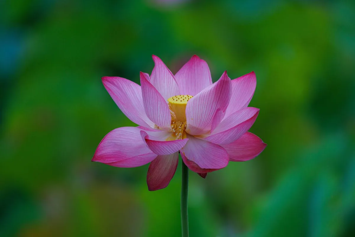 Photo: Korea Tourism Organization photo gallery (Hanam-myeon, Hwacheon-gun, Gangwon State) · KOGL
The best times to ride are late spring (May) and autumn (late September through mid-October). Autumn especially, when so much of the route has the lake and the fall colors layered together — that’s when this ride really shows what it’s got.
- Spring: Great riding conditions, but the temperature swings between morning and afternoon are big. It feels a lot colder than you’d expect on an early start, so bring a light windbreaker.
- Summer: There’s some shade, so it beats riding in the city, but the lack of water fountains along the way bumps up the difficulty. Skip a midday start (noon to 3pm) — better to head out early and be back before lunch.
- Autumn: The most pleasant season, hands down. Just watch the corners, since wet fallen leaves make some stretches slippery.
- Winter: Hwacheon is one of the coldest places in the country. Ice, strong winds, and hypothermia risk all stack up, so I wouldn’t recommend it for the average visitor.
Out in the open sections around the lake, there are days when the headwind really howls. If the wind’s at your back on the way out, it’ll be in your face coming home — pace your energy accordingly.
Essential gear: helmet, front and rear lights, puncture repair kit (spare tube, tire levers, mini pump), two water bottles, snacks (energy bars, bananas, that sort of thing), a phone power bank, sunscreen, and a light windproof jacket.
Tips for International Riders
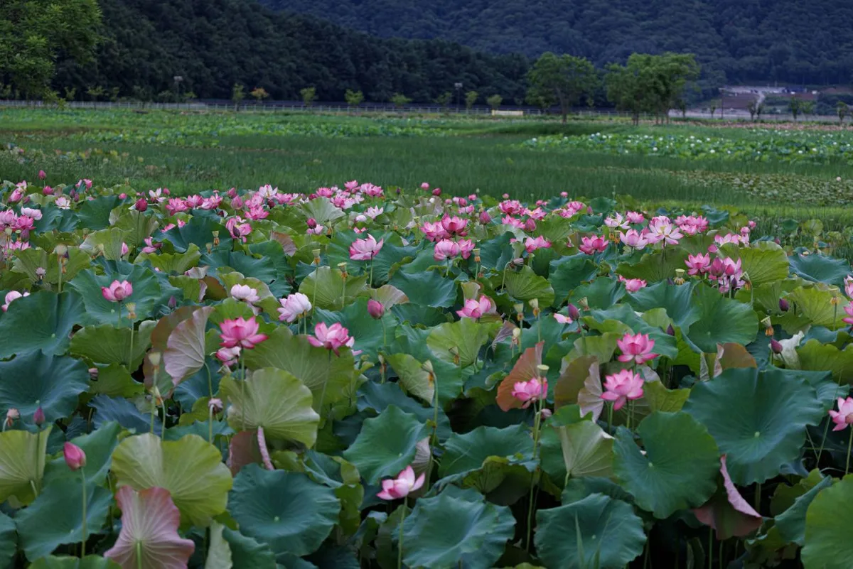 Photo: Korea Tourism Organization photo gallery (Hanam-myeon, Hwacheon-gun, Gangwon State) · KOGL
① Romanized route names
- Route: Hwacheon Paroho 100-ri Sanso-gil
- Region: Hwacheon-gun, Gangwon-do
- Lake: Paroho Lake
- Note: “100-ri” uses a traditional Korean unit of distance, and “Sanso-gil” translates literally as “Oxygen Trail.”
② A practical guide to the certification system — this route isn’t part of it
Let me be clear up front: this route is not covered by Korea’s Cross-Country Bicycle Route certification program. There’s nowhere to collect a stamp here, and no section that earns you a certification sticker. That said, if you’re planning to ride other routes in Korea (the Four Rivers trails, for instance), everything below applies, so here it is.
- Bike Passport: Buying one in person at a staffed certification center (a management office, visitor center, and so on) is your safest bet. The official website is essentially Korean-only, and overseas-issued cards plus Korea’s identity verification steps (local mobile number, resident registration number) make buying ahead from abroad genuinely difficult. Plan on picking one up after you land.
- Using unstaffed certification booths: The unstaffed booths vary from route to route, but most are small roadside stamp kiosks. Open the door, you’ll find an ink stamp hanging inside, flip your passport to the page for that center, and stamp it. No attendant, no payment. Operating setups and available hours do differ booth to booth, though, so check the guidance for whichever route you’re riding.
- Completion: Once you’ve filled in all the sections, a staffed certification center verifies it and applies a certification sticker to your passport. Finish a major route like the Cross-Country trail and you can get a completion certificate — buying the completion medal is common too.
③ If you’re arriving without a bike
- There are no registered rider-specific facilities on this route itself, so sorting out a bike in Seoul, Chuncheon, or another major city before you travel is the safest approach.
- Around Seoul, the public bike-share system Ttareungi (Seoul Bike) has an English app and accepts overseas-issued cards. Bear in mind it only operates within Seoul’s return zones, so you can’t ride one all the way to Hwacheon. Use it for getting your legs under you in the city instead.
- Packing a folding bike into a bag and taking an intercity bus is the most practical option for international travelers. Regular bikes can be turned away depending on the bus company or the driver’s discretion, so check in advance.
- If you’re counting on renting locally, it’s worth confirming ahead through a Hwacheon tourist information center. Don’t assume rentals are always available.
④ Map apps (important)
- Google Maps isn’t reliable for cycling directions in Korea. Data export restrictions mean bike routing simply doesn’t work properly, so don’t use it as your main navigation.
- Use the cycling mode in KakaoMap or Naver Map. Both offer English interfaces and far more accurate bike path data.
- This is mountain and lakeside country, so there are stretches where your phone signal drops off. Save maps offline or take screenshots before you set out, and loading a GPX file onto your cycling computer ahead of time buys real peace of mind.
- Emergencies: 119 (ambulance/rescue), 112 (police), 1330 (tourist interpretation hotline, with English, Japanese, Chinese, and other languages).
Other bike paths nearby
- Bukhangang Bike Path: the Chuncheon course and its 4 certification centers — about 44 km as the crow flies from this route
- Han River Bike Path: the 56 km certification-center course — about 82 km as the crow flies from this route
- Namhangang Bike Path: course, distance, and certification centers — about 90 km as the crow flies from this route
📍 Hwacheon Paro Lake 100-ri Oxygen Trail: Route and DistanceLocation
Contact: bumseok.view [at] gmail [dot] com
Comments