The Okcheon Hyangsu 100-ri Trail: Route, Distance, and What to Watch Out For
Cycling · Published 8/5/2026 ·
자전거길 트랙·시설 (공공데이터: 행정안전부 국토종주 자전거길 DB) · 🏆인증센터 💧급수대 🚻화장실 🔧공기주입기 · 지도 © OpenStreetMap ⤓ GPX 다운로드
At a Glance
| Metric | Rating |
|---|---|
| Course difficulty | ★★★☆☆ |
| Supplies & amenities (certification centers, water stations) | ★☆☆☆☆ |
| Certification centers (0 · not part of the Cross-Country Certification program) | ☆☆☆☆☆ |
| Seasonal difficulty — spring | ★★☆☆☆ |
| Seasonal difficulty — summer | ★★★★☆ |
| Seasonal difficulty — autumn | ★★☆☆☆ |
| Seasonal difficulty — winter | ★★★★☆ |
※ Source: Cross-Country Bike Path database, Ministry of the Interior and Safety of Korea · seasonal ratings are rough guides
Overview
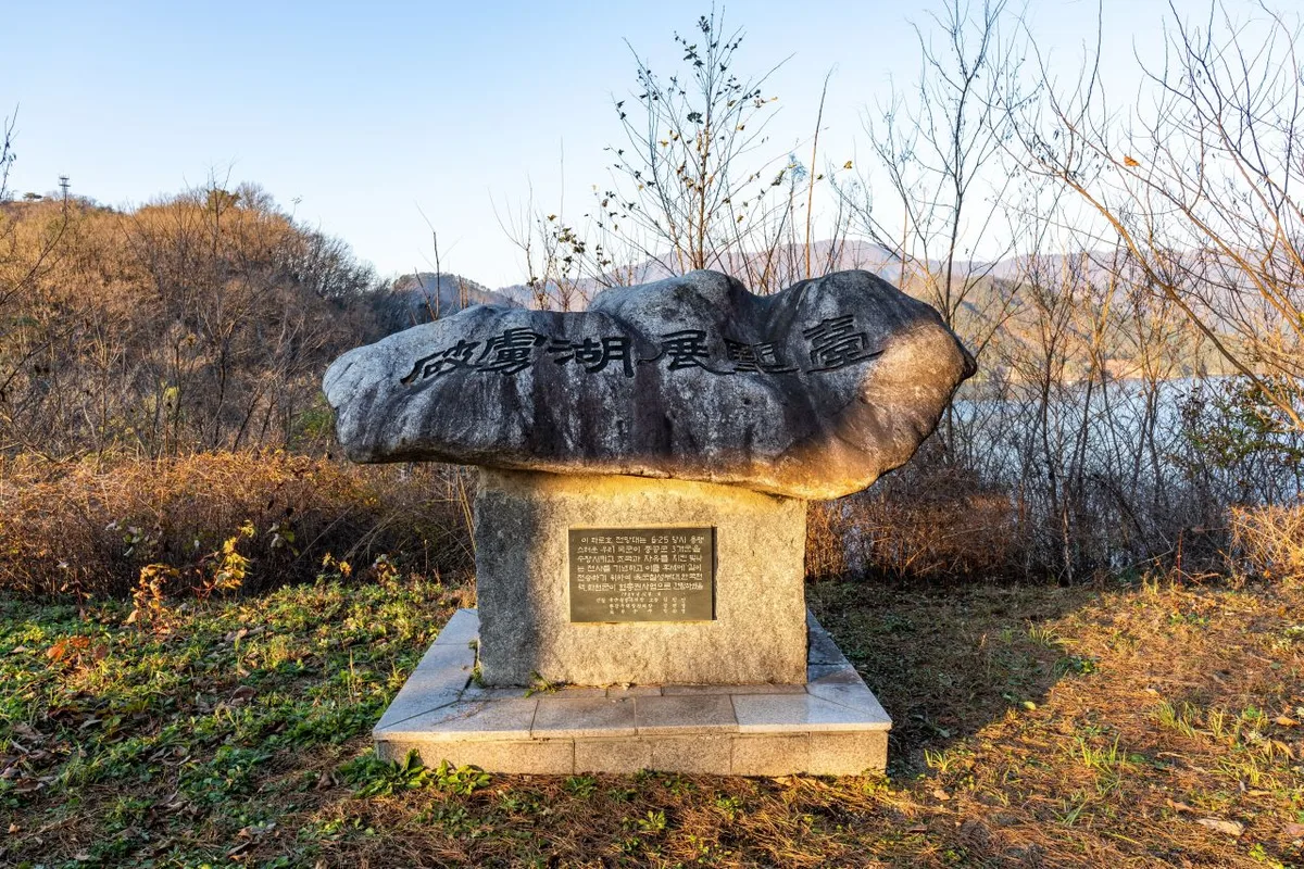
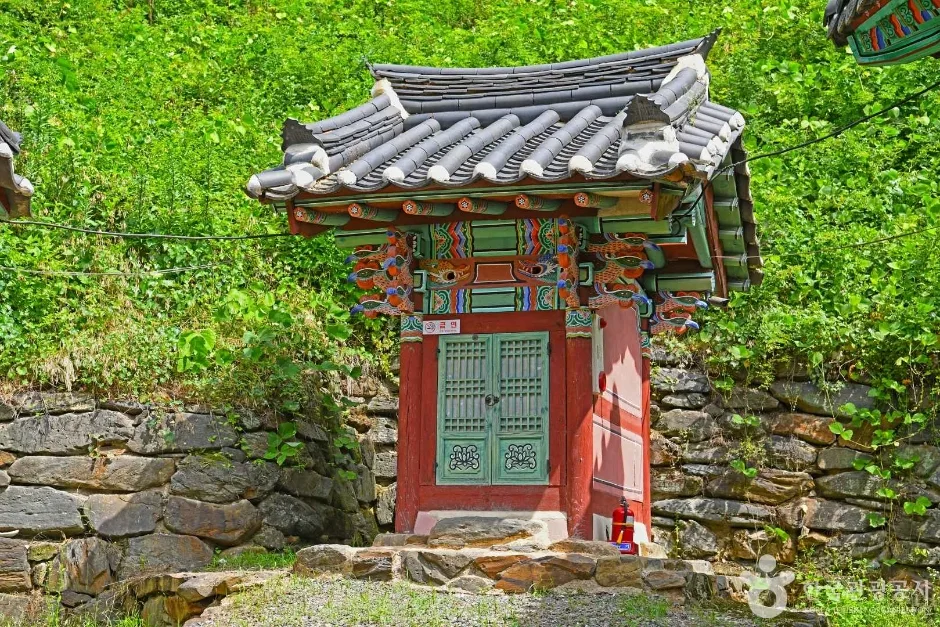 Photo: Korea Tourism Organization photo gallery (671 Annaehoenam-ro, Annae-myeon, Okcheon-gun, Chungcheongbuk-do) · KOGL
The Okcheon Hyangsu 100-ri-gil is a loop route that circles the waters of the Geumgang River and Daecheongho Lake in Okcheon-gun, Chungcheongbuk-do. The “Hyangsu” (鄕愁, meaning nostalgia) in the name comes from the title of the best-known poem by Jeong Ji-yong, a poet born in Okcheon, and “100-ri” is an old Korean unit of distance that works out to roughly 40km. It’s a road that follows the feeling of home, just as the name suggests, and it has a different character from the well-groomed riverside bike paths you’d ride in a big city. Along the stretches that wrap around the lake, the color of the water and the shadows of the mountains keep shifting, and as you pass through villages, farm lanes and provincial roads alternate with each other in a steady series of gentle ups and downs.
There are basically four ways to make use of it.
① A one-day full loop — Set off from Okcheon-eup early in the morning and come back in the afternoon, returning to where you started. Because it’s a loop, you can leave your luggage at your lodging or in the car and ride light, which makes this the easiest option of the bunch.
② A slow two-day trip — Ride about half the route on the first day, stay overnight in Okcheon-eup or near one of the lakeside villages, then finish the remaining section the next day. This gives you time to linger at the Jeong Ji-yong literary sites, the old streets of downtown Okcheon, and the lake viewpoints.
③ Mini velo or folding bike plus train — The Gyeongbu Line runs through Okcheon, so packing a folder like a Brompton or a Dahon into a bag, taking the train, and starting your ride right at the station works nicely. It’s an especially practical choice for foreign travelers getting around without a car.
④ Split-section riding for families and beginners — Instead of doing the whole thing, ride out and back on just a portion of the river or lakeside where the grades are gentle and there’s little traffic. If you’re bringing kids along, this is the one I’d recommend.
Course Details
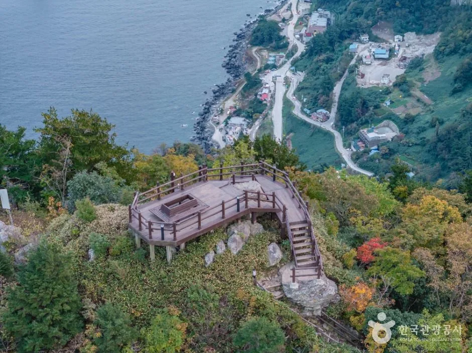
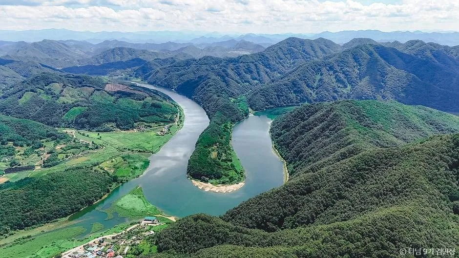 Photo: Korea Tourism Organization photo gallery (148-18 Yeonju-gil, Annam-myeon, Okcheon-gun, Chungcheongbuk-do) · KOGL
Start and finish are the same spot. Most people set off from the center of Okcheon-eup or somewhere close to the Geumgang River, trace a big loop along the upper reaches of Daecheongho Lake and both banks of the Geumgang’s main channel, then come back to where they started. The order shifts depending on which way you ride, but the stretches that really define the route are the lakeside roads and village lanes around Dong-i-myeon, Annam-myeon, and Annae-myeon in Okcheon-gun, plus the open farmland roads out toward Iwon-myeon.
Road surfaces vary quite a bit from section to section. Along the river and the lake you get nice smooth pavement, the kind cyclists dream about — but don’t expect a dedicated bike path running end to end the way you’d find on a big-city riverside. Through the villages you’ll hit farm tracks and narrow provincial roads shared with cars, and the road curling around the lake serves up short climbs and descents over and over. If you’ve only ever ridden flat riverside paths, it’s easy to underestimate how much these little hills add up.
The scenery is this route’s greatest asset. The wide expanse of water in the upper lake, mountain slopes dropping right down to the shoreline, rice paddies and fields changing color with the seasons, and the stillness of early morning with lake mist still hanging in the air — one after another. This route isn’t part of the Cross-Country Cycling Certification program, so you won’t come across any certification centers to stamp along the way. What you get instead is a ride where you’re not tied to a fixed stamp order, free to stop wherever catches your eye.
Local Food
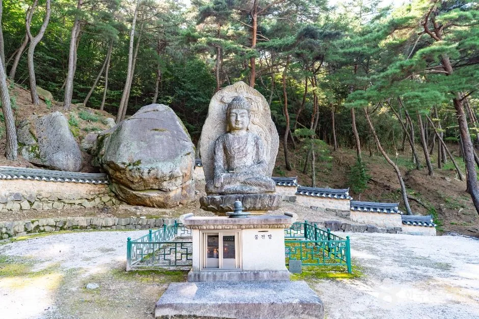
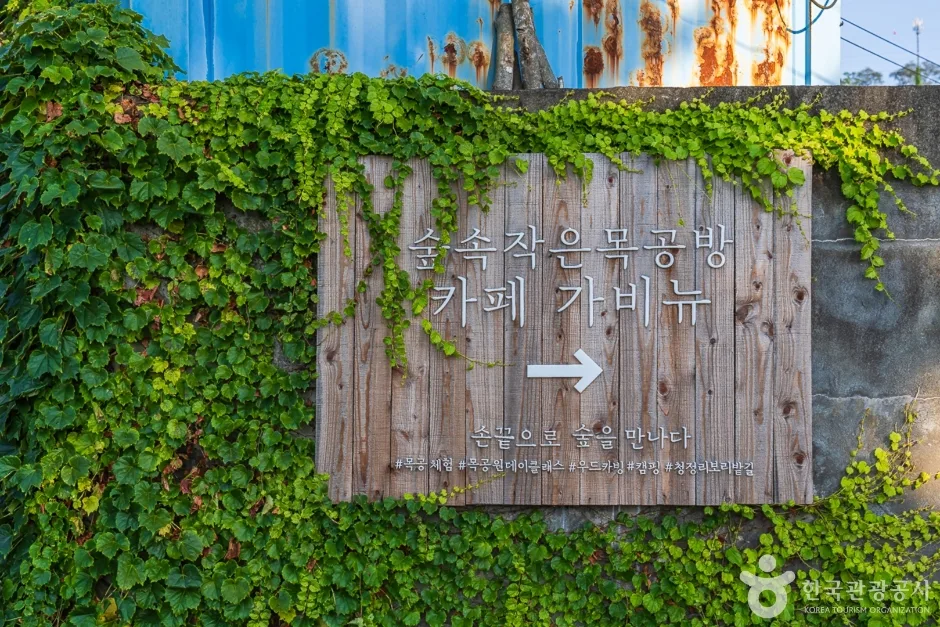 Photo: Korea Tourism Organization photo gallery (54 Cheongjeong 3-gil, Annam-myeon, Okcheon-gun, Chungcheongbuk-do) · KOGL
Okcheon sits inland along the Geum River and its lakes, so the food it’s known for tends to be freshwater fish and fruit.
- Saengseon-guksu (freshwater fish noodle soup) — noodles in a broth made by simmering freshwater fish for hours and straining it. This is generally the dish Okcheon is best known for. It’s spicy and rich, which makes it a great recovery meal after a ride.
- Doribaengbaengi — small freshwater fish arranged in a ring in the pan, fried, then brushed with sauce. It’s usually served as a side alongside saengseon-guksu.
- Olgaengi-guk (freshwater snail soup) — a soup made with freshwater snails, common throughout inland Chungcheong.
- Grapes and peaches — Okcheon is known for growing both, so in summer and early autumn you can usually find seasonal fruit at roadside stands or village stalls. Good for topping up your sugar, too.
It’s safest to assume resupply points are concentrated around downtown Okcheon-eup. Out along the lakeshore and through the mountain villages, convenience stores are scarce, and what you do find may be a small country shop with short hours. Rather than building your plan around a particular restaurant, I’d suggest loading up on water and snacks in town before you set off. Standing in front of a closed shop with an empty bottle is the most common mistake on this route.
Supplies & Facilities
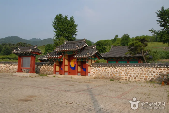 Photo: Korea Tourism Organization photo gallery · KOGL
According to the bike path database maintained by Korea’s Ministry of the Interior and Safety, this route has 0 certification centers, 0 restrooms, 0 water stations, and 0 air pumps registered to it. In other words, there are no dedicated cyclist facilities logged along the route at all, so you’ll want to plan on being fully self-supported.
Here’s how I’d get ready for it.
- Water — Carry two bottles, or at least 1.5L, as a baseline, and more than that in summer. Top off whenever you pass through a town or roll by a village shop.
- Restrooms — With none registered, it pays to mark facilities in town, public buildings, major tourist spots, and gas stations on your map ahead of time.
- Pumps and repairs — There’s no air pump anywhere on the route, so a portable pump (or CO₂), two spare tubes, tire levers, a multi-tool, and a chain link are all on you. Don’t count on finding a bike shop out in the countryside.
- Certification passport and stamps — This route isn’t part of the national cross-country certification program, so there are no stamp booths and no passport squares to fill. If you’re collecting cross-country certifications, slot this one into your plans as a scenic ride rather than something that counts toward the tally.
Heading Back
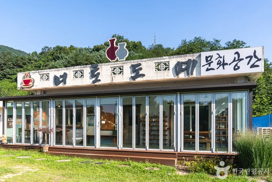 Photo: Korea Tourism Organization photo gallery (1824-76 Seongwang-ro, Gunbuk-myeon, Okcheon-gun, Chungcheongbuk-do) · KOGL
Because it’s a loop route, finishing the course drops you right back where you started. That’s a big plus here — no need to arrange a separate ride home or plan train and bus transfers back to the start. If you drove, aim to end up back at your parking spot; if you came by train, plan your return around the station. One caveat: even on a loop, there are lakeside stretches where bailing out partway isn’t easy, so I’d suggest checking in on your energy and remaining daylight at the halfway mark.
Safety and Things to Watch For
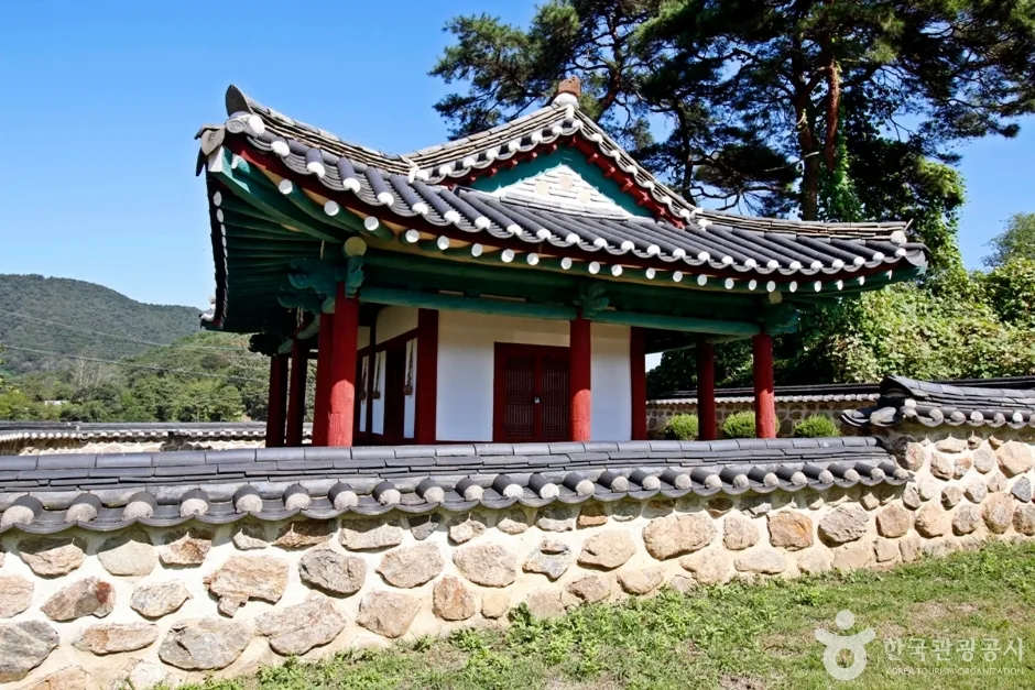 Photo: Korea Tourism Organization photo gallery (120 Jongmi 3-gil, Annam-myeon, Okcheon-gun, Chungcheongbuk-do) · KOGL
- Shared-road sections — You’ll be mixing with cars on provincial roads and farm lanes. The lanes are narrow and some curves have blind spots, so hug the right and keep an eye out for farm machinery and trucks.
- Pedestrians and anglers — Along the lakeshore and through the villages, you’ll run into residents out for a walk and people heading down to the water. Slow down and use your bell or your voice — that’s just basic.
- Lights after dark — There are almost no streetlights out in the countryside, so it gets dark fast once the sun drops. A headlight and taillight aren’t optional here, and it’s best to plan your timing so you finish before sunset.
- Ice — In winter, frost and thin ice linger near the lake and river, on shaded curves, and on bridges. Morning rides call for extra caution.
- Water and dehydration — There are no water fountains on this route, so dehydration is a real risk. Drink regularly before you get thirsty, and in summer top up with electrolytes too (sports drinks or salt tablets).
- Wildlife — Dogs and wild animals can dart out on the mountainside stretches, so don’t let yourself get carried away on the descents.
- Cell signal — Coverage can get spotty in the mountain and lakeside sections, so I’d suggest saving your map for offline use ahead of time.
Season, Weather, and Gear
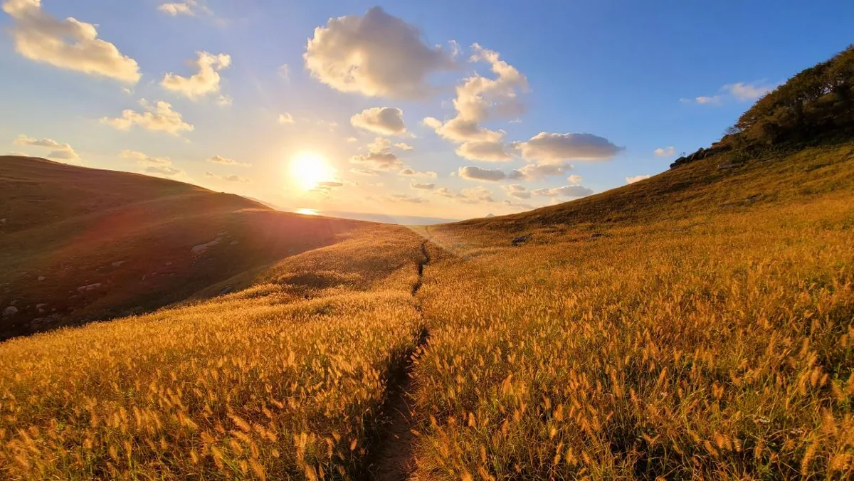
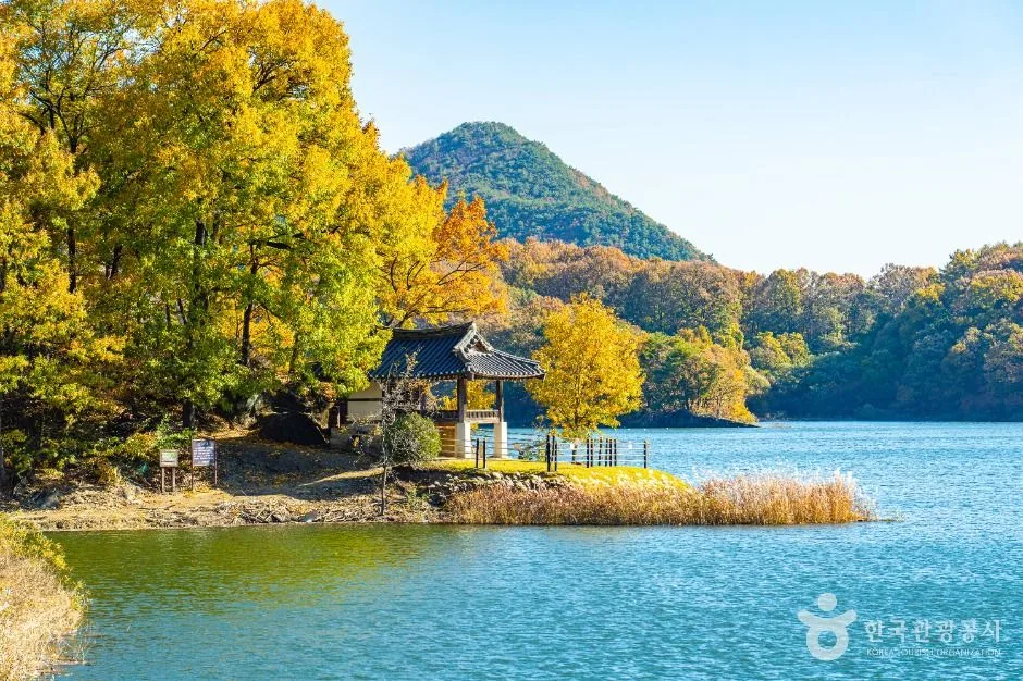 Photo: Korea Tourism Organization photo gallery (Seokho-ri, Gunbuk-myeon, Okcheon-gun, Chungcheongbuk-do) · KOGL
The best seasons are spring (April–June) and fall (September–November). Mild temperatures and clear air make the lakeside scenery shine. In autumn, early mornings when the fall colors and mist over the water overlap are especially beautiful.
- Summer — Heat, humidity, and harsh sun are the problem. Your body temperature climbs fast on the stretches without shade, so I’d start at dawn. During the late-June-to-July rainy season and localized downpours, flooded roads and falling rocks are a real possibility, so don’t push it.
- Winter — Ice and cold river wind ratchet up the difficulty. Bring a windproof jacket, full-finger gloves, and ear covers, and be ready to shorten the route given how early it gets dark.
- River and lakeside wind — Since the route follows the water, you can end up with a long stretch of headwind depending on which way you’re heading. It’s a loop, so on windy days it’s easier to take the headwind on the first half and let the tailwind push you home.
Essential gear checklist: helmet, front and rear lights, portable pump, two spare tubes plus a patch kit, multi-tool, two water bottles, ride food (energy bars, fruit), sunscreen, a light windproof jacket, a power bank, a bit of cash (rural shops and farm stands may not take cards), and a basic first-aid kit.
Tips for International Travelers
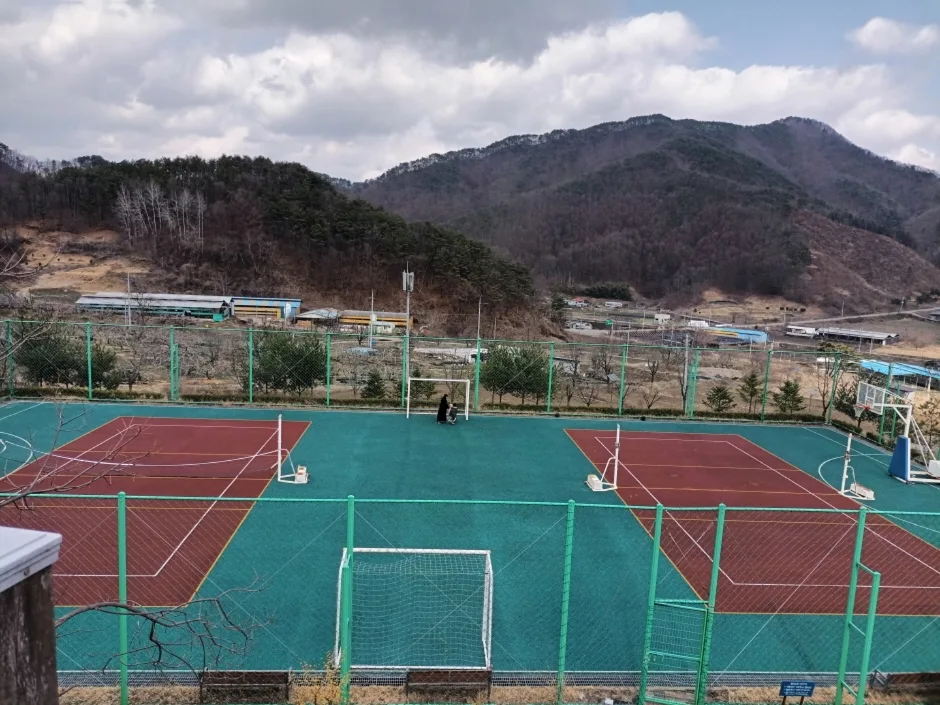 Photo: Korea Tourism Organization photo gallery (239-7 Annaesuhan-ro, Okcheon-gun, Chungcheongbuk-do) · KOGL
① Route names in Roman letters
- Route: Okcheon Hyangsu 100-ri-gil (옥천 향수 100리길)
- Region: Okcheon-gun, Chungcheongbuk-do (충청북도 옥천군)
- Main landmarks: Geumgang River (금강), Daecheongho Lake (대청호)
- Starting point: Okcheon-eup (옥천읍) / Okcheon Station (옥천역)
② A practical guide to the certification program — heads up, this route isn’t part of it
Let me be clear right up front: this course is not one of the routes covered by the Korea Cross-Country Cycling Certification program. So there’s no stamp to collect here, and no box to fill in on your passport. What follows is general guidance for anyone planning to ride Korea’s actual certification routes as well (the cross-country network — the Han River, South Han River, Nakdong River, and so on).
- The Bike Passport — You normally buy the passport in person at a staffed certification center. The official website is essentially Korean-only, and between overseas-issued cards and Korea’s real-name verification requirements, buying one from abroad ahead of time is close to impossible. The realistic approach is to pick one up after you arrive, at a staffed center on one of the certification routes. Bring a bit of cash.
- How the unstaffed centers work — They’re small stamp booths shaped like red phone boxes. Inside you’ll find a stamp fixed in place; just press it into the matching box on your passport (or any blank space). The ink is kept from drying out, so you don’t need to bring a pad, and the booths are open 24 hours. If you haven’t bought a passport yet, some people just stamp a scrap of paper or a notebook in the meantime.
- Rewards for finishing — Complete a section on a certification route and you generally get a section-completion sticker; finish a designated course like the cross-country route and you can receive a completion certificate and a medal. Verification and issuing happen at staffed centers or designated counters.
③ If you’re arriving without a bike
- Ttareungi (Seoul Bike) is Seoul’s public bike-share system. It has an English app and accepts overseas-issued cards, so it’s genuinely easy for visitors to use. That said, Okcheon isn’t in the Seoul area, so you can’t ride this course on a Ttareungi.
- Realistically you have three options. ⓐ Rent a road or hybrid bike by the day from a private bike rental shop in a big city like Seoul or Daejeon and bring it on the train. ⓑ Bring a folding bike in a bag on the train — folded and bagged, it’s generally allowed as carry-on luggage, though I’d check the rules when you book. ⓒ Ask your accommodation in Okcheon, or the local tourist information desk, whether rentals are available. That said, this route has no registered cycling facilities, so I wouldn’t build your plan around renting locally.
- Okcheon sits on the Gyeongbu Line, and it’s not far from Daejeon. A common combination is to take a high-speed train from Seoul to Daejeon, then transfer to a regular train.
④ Map apps — don’t skip this one
Google Maps’ cycling directions in Korea are not reliable. The cycling data just isn’t there, and bike-path connections are often missing entirely. Use these instead:
- KakaoMap — Has a cycling mode and by far the most usable coverage of Korean bike paths. English UI available.
- Naver Map — Strong on cycling routes plus detailed terrain and shop information. English UI available.
- Backup tools — Loading a GPX into Komoot, Ride with GPS, or Strava and following it on a cycling computer works well too. Signal gets patchy in the mountain sections, so download offline maps and save your GPX in advance.
- Useful Korean phrases — 물 좀 채울 수 있을까요? (Can I refill my water?), 자전거 수리점 (bike repair shop), 편의점 (convenience store), 화장실 어디예요? (Where is the restroom?).
⑤ A few other things — Helmets are recommended for cycling in Korea, and riding under the influence is illegal. Sort out a SIM or eSIM at the airport, and carry some small bills for the rural stretches where cards may not work. Emergency numbers: 119 (rescue and ambulance), 112 (police).
Other bike paths nearby
- Ocheon Bike Path: route, distance, and certification centers — about 45 km as the crow flies
- Saejae Bike Path: route, distance, and 7 certification centers — about 59 km as the crow flies
📍 The Okcheon Hyangsu 100-ri Trail: Route, Distance, and What to Watch Out ForLocation
Contact: bumseok.view [at] gmail [dot] com
Comments