Gyeongpo Lake Sanso-gil in Gangneung: Course, Distance & Certification Center
Cycling · Published 8/24/2026 ·
자전거길 트랙·시설 (공공데이터: 행정안전부 국토종주 자전거길 DB) · 🏆인증센터 💧급수대 🚻화장실 🔧공기주입기 · 지도 © OpenStreetMap ⤓ GPX 다운로드
At a Glance
The Gangneung Gyeongpoho Sanso-gil is an easygoing loop ride around a lagoon, with the East Sea keeping you company the whole way. Difficulty sits at ★★☆☆☆ — even someone taking a bike on a trip for the first time can handle it. Supplies and amenities lean on just one certification center and one water station, so call that ★★☆☆☆ as well. There’s one certification center along the route.
Season-wise, spring and fall are the sweet spots at ★★★★★ each. Summer drops to ★★★☆☆ thanks to humidity and direct sun, and winter falls to ★★☆☆☆ because of the wind blowing in off the East Sea and the chance of icy pavement. In spring you get the cherry trees around Gyeongpo; in fall, clear air and low humidity do the riding a favor.
Source: Cross-Country Bicycle Path database, Ministry of the Interior and Safety of Korea · Seasonal ratings are a rough guide
Overview
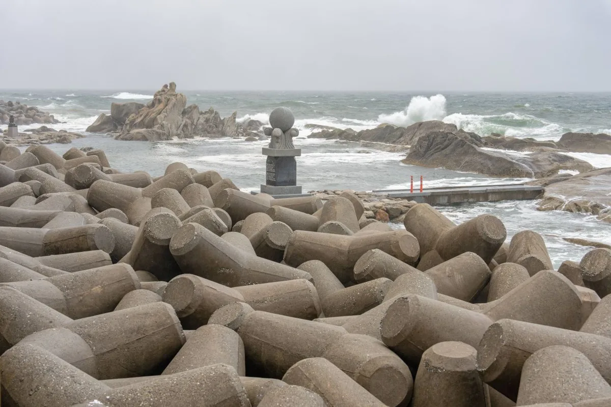 Photo: Korea Tourism Organization Photo Gallery (Jumunjin-eup, Gangneung, Gangwon State) · KOGL
The Gyeongpoho Sanso-gil — the name literally means “a path as clean as oxygen” — lives up to it. It’s a mostly flat bike route connecting Gyeongpoho Lake, a lagoon nestled between downtown Gangneung and the East Sea, with the Gyeongpo Beach area. This isn’t one of those epic cross-country trails where you grind out hundreds of kilometers; it’s more of an urban, sightseeing-oriented route designed to let you soak up the city of Gangneung from the saddle.
Its biggest draw is how much scenery gets packed into so little distance. On one side you have the calm surface of the lake and its reed beds; on the other, a pine windbreak forest and the horizon of the East Sea. Within a short stretch, three completely different landscapes — lake, pine forest, ocean — keep trading places. And since there’s barely a climb worth calling a climb, it’s a ride that works your eyes far more than your legs.
I’d say there are four main ways to make use of this route.
First, a day trip to Gangneung. Arrive in the morning, set up your bike, and you can comfortably spend until late afternoon looping around the lake and the beach. Even with generous stops at cafes and viewpoints along the way, you’ll have time to spare.
Second, a weekend trip pairing a Brompton or mini velo with public transit. Pack a folding bike into a bag, take the KTX or an express bus to Gangneung, then unfold and ride once you’re there — this route is practically made for that approach. It’s short and flat enough that small wheels handle it just fine, and if you book a place to stay around Gyeongpo, your bike covers all your getting-around needs.
Third, a beginner-friendly course for families and first-timers. With few steep grades and little risky merging with car traffic, it’s easy on families with kids, people trying bike touring for the first time, or anyone getting back on the saddle after a long break. And depending on how you’re feeling, a single lap around the lake stands perfectly well on its own as a complete ride.
Fourth, a warm-up or cool-down leg for an East Coast tour. Gangneung is a hub city on the East Coast bike trail, so you can use this route to loosen up your legs the day before a long-distance tour, or spin through it as a recovery ride the day after finishing one.
Course Info
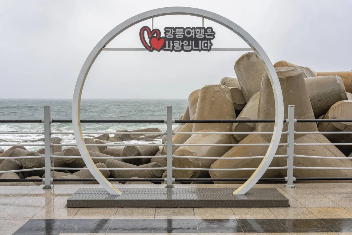 Photo: Korea Tourism Organization photo gallery (Jumunjin-eup, Gangneung, Gangwon State) · KOGL (Korea Open Government License)
The route is a one-way ride that starts at Gyeongpo Lake and works its way out toward the beach. Most people set off from the lakeside park area on the south side of the lake. There’s plenty of parking there, plus restrooms and benches, which makes it a convenient spot to assemble your bike and sort out your gear.
The loop around the lake is really what defines this route. The surface is mostly well-paved bike path and shared pedestrian trail, with stretches of wooden boardwalk mixed in here and there. Fair warning: those boardwalks get seriously slippery after rain or on dewy early mornings, so slow way down through those sections and don’t lean into the corners.
The west and north sides of the lake are a quiet stretch of reeds and wetlands. Depending on the season you’ll see migratory birds resting there, and in the early morning you might catch mist rolling across the surface of the water. There are relatively few people on this side, so it’s a good place to settle into a steady cadence and find your rhythm.
Cross over to the east side of the lake and the mood changes. You pass Gyeongpodae Pavilion and a string of other pavilions and old pine trees, and beyond them the sea starts to come into view. Gyeongpodae has long been counted among the Eight Scenic Views of Gwandong, so it’s worth parking the bike for a few minutes and walking up. Better to leave your bike at the bottom and go up on foot.
Once you reach the Gyeongpo Beach section, the path winds through a pine windbreak forest and connects to the beachside promenade. Riding with the ocean right beside you — this is the highlight of the whole route. That said, on peak-season weekends and during summer vacation the foot traffic swells considerably, so at those times you should ride slowly and treat it as what it effectively is: a walking path you’re sharing.
Heading south along the beach, the route flows toward the coffee street near Anmok Beach; heading north, it extends toward Sacheon Beach. The character of your endpoint changes quite a bit depending on which way you go, so deciding where you’ll finish before you set out makes planning the day much easier.
This route isn’t part of Korea’s national cross-country bike path certification program. So rather than a stamp-collecting, complete-every-segment kind of ride, approach it as one to be enjoyed for the scenery and the course itself.
Nearby Eats
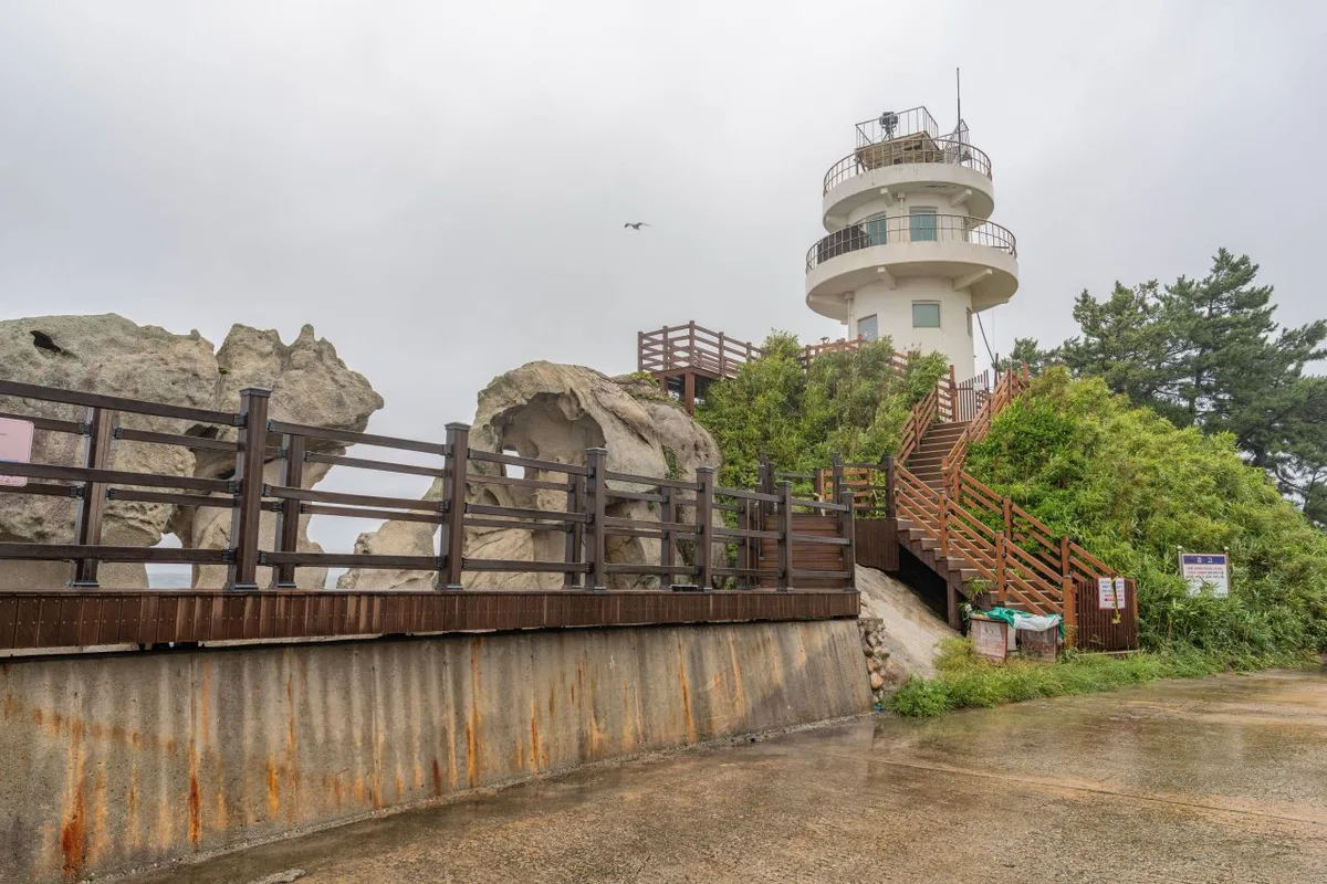 Photo: Korea Tourism Organization photo gallery (Jumunjin-eup, Gangneung-si, Gangwon State) · KOGL (Korea Open Government License)
Gangneung is such a food-rich city that even on a short course, the question isn’t whether you’ll find supplies — it’s what to choose. The items below are foods this region is generally well known for. I’m not pointing to any specific restaurant; please take these as representative local food categories.
| Food | General location | Notes from a rider’s perspective |
|---|---|---|
| Chodang sundubu (soft tofu) | The Chodang area south of Gyeongpo Lake | Gangneung’s signature dish. Restaurants tend to cluster together village-style. Soft and easy on the stomach |
| Mulhoe (cold raw fish soup) / hoedeopbap (raw fish rice bowl) | Toward the beaches and harbors | Popular in summer. That said, it’s a cold dish, so best not to overdo it right before a ride |
| Gangneung coffee | Toward the Anmok Beach coffee street | Dense with cafes. Great as a rest-and-recharge point |
| Gamja ongsimi (potato dumpling soup) / jang-kalguksu (spicy noodle soup) | Toward downtown | Warm, brothy dishes. A safe bet for warming back up in the colder seasons |
| Grilled squid and fish | Toward the harbors and markets | A common choice for dinner after wrapping up a ride |
| Gangneung jjamppong sundubu | The Chodang area | A spicy twist on sundubu, if you like your broth with some kick |
Supply-wise, convenience stores and cafes are spread fairly densely around Gyeongpo Lake and along the beach sections, so there’s practically no stretch you could call unsupported. That said, along the wetland and reed sections on the lake’s west and north sides, and in the early morning or late evening, the number of open shops drops off sharply. If you’re setting out early on an off-season weekday morning, it’s safer to stock up on water and snacks before you go.
One more thing to keep in mind: wait times on peak-season weekends. Gangneung’s famous eateries often build up long lines around lunchtime, so if you’re planning to fit a meal into your riding schedule, dodging the lunch rush by a little will work in your favor for time management.
Supplies & Facilities
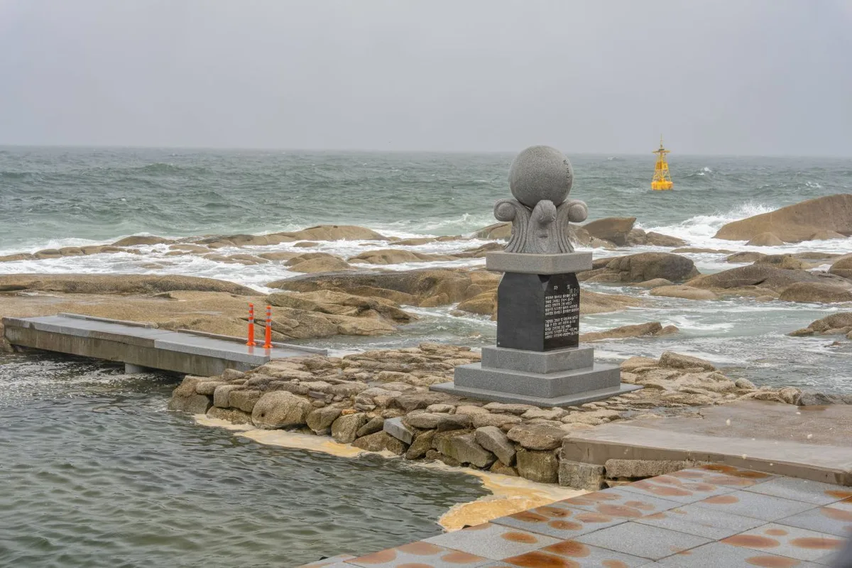 Photo: Korea Tourism Organization Photo Gallery (Jumunjin-eup, Gangneung, Gangwon State) · KOGL (Korea Open Government License)
According to the bike path database from the Ministry of the Interior and Safety of Korea, here’s what’s registered along this route:
| Facility | Count | Notes |
|---|---|---|
| Certification center | 1 | This route isn’t part of the national cross-country certification program — think of it as an info point and rest stop |
| Restrooms | 5 | Generous for such a short route. Great for family rides |
| Water fountain | 1 | Just the one, so fill your bottles before you set off |
| Air pump | 0 | None. A portable pump or CO2 cartridges are a must |
The thing that deserves the most attention here: zero air pumps. There isn’t a single public pump anywhere on the route, so get your tire pressure sorted at a bike shop or your lodging before you start, and absolutely bring a portable pump and a spare tube. It’s easy to get complacent on a short course like this, but one flat and your bike becomes luggage on the spot.
There’s only one water fountain. That said, there are convenience stores and cafes along the route, so topping up water isn’t actually hard. In summer, don’t count on that lone fountain — get in the habit of filling your bottles every time you pass a convenience store.
Five restrooms over a route of roughly 20km is a comfortable spread. If you’re riding with kids or leading a group of beginners, that’s a real advantage.
One certification center is registered, but since this route isn’t part of the national cross-country certification program, there’s no stamp to collect for completing the section. Even if you’ve brought your certification passport, be aware ahead of time that no boxes will get filled here. It’s more accurate to think of that spot as an information and rest station.
Getting Back
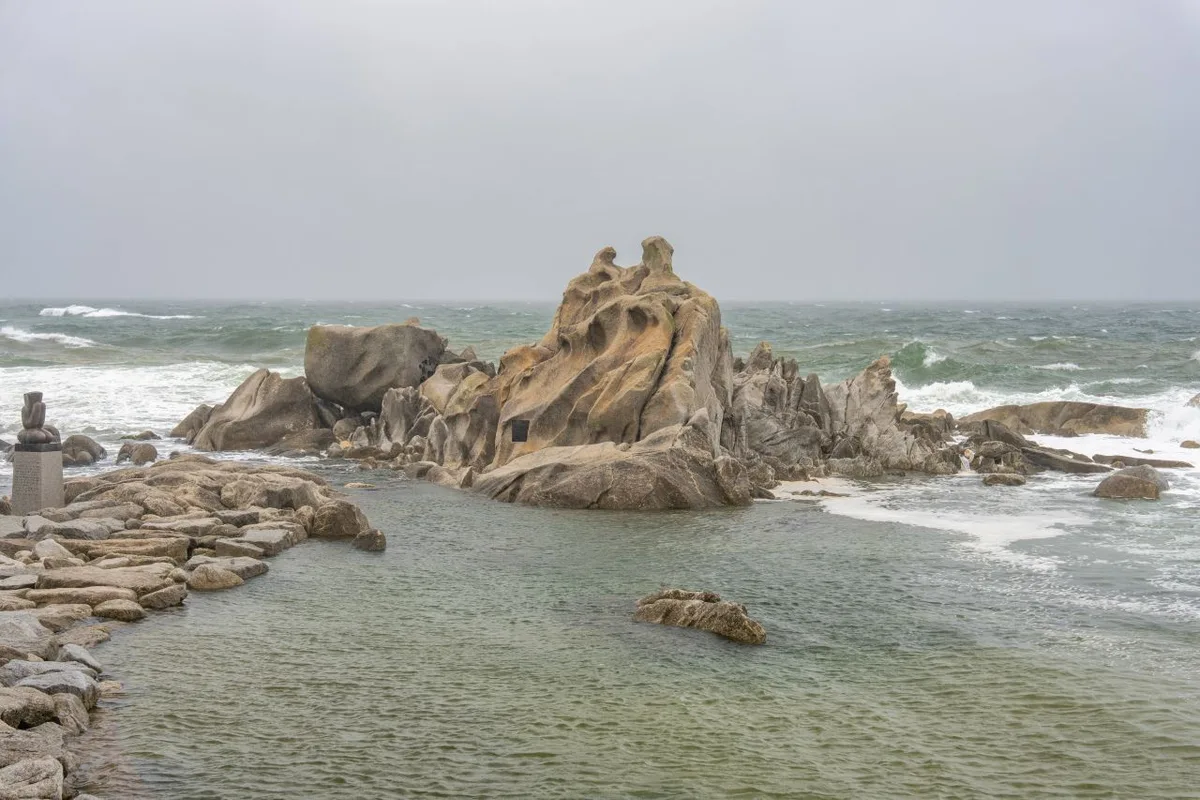 Photo: Korea Tourism Organization photo gallery (Jumunjin-eup, Gangneung-si, Gangwon State) · Kogl (Korea Open Government License)
It’s a one-way route, but getting back isn’t much of a burden. At 19.8 km each way, simply retracing your path still only adds up to 39.6 km round trip. On terrain this flat, that’s a distance even a beginner can comfortably handle in a day, so there’s no need to arrange separate transportation for the return.
In fact, riding it as an out-and-back often works in your favor on this course. The direction of the sunlight changes between the ride out and the ride back, and the scenery reflected on the lake and the color of the sea shift completely depending on the time of day. Watching the sun sink beyond the lake on a late-afternoon return ride is one of the most memorable moments this route has to offer.
And if your legs give out or the weather turns suddenly, downtown Gangneung is close by, so it’s easy to bail out and head into town from almost any point along the way. That accessibility alone is a huge source of reassurance for beginners.
Safety and Things to Watch Out For
 Photo: Korea Tourism Organization photo gallery (Jumunjin-eup, Gangneung, Gangwon State) · KOGL (Korea Open Government License)
The biggest hazard on this route isn’t speed or gradient — it’s people. Long stretches of the Gyeongpo Lake loop and the beachside promenade are shared-use paths, and even sections that look like dedicated bike lanes often have walkers mixed in.
- On shared paths, pedestrians have the right of way. Rather than ringing your bell to get people to move, it’s better to just slow down and pass. Kids and dogs in particular can change direction without warning, so give them plenty of room.
- The beach sections on peak-season weekends and during summer vacation should be treated as slow zones, full stop. This is not the time to worry about your PRs or average speed.
- Watch for slippery wooden decking and wetland boardwalks. After rain, in early-morning dew, or with winter frost, the decking gets seriously slick.
- Winter ice is especially dangerous around the lake and in shaded sections. Water that melts during the day can refreeze overnight into thin sheets of black ice.
- Front and rear lights are a must for night riding. Some sections around the lake have streetlights spaced far apart, making it hard to read the road surface. A reflective vest or reflective stickers will make you far more visible to pedestrians too.
- Don’t let yourself get dehydrated. There’s only one water fountain on the route, and the beach sections offer little shade in summer. By the time you feel thirsty it’s already too late, so I’d recommend taking small sips every 20–30 minutes.
- Be ready for sea winds pushing your steering around. In open sections where the windbreak forest ends, a sudden crosswind can shove your handlebars sideways. If you’re on a mini velo or running high-profile wheels, be extra careful.
Season, Weather, and Gear
 Photo: Korea Tourism Organization photo gallery (Jumunjin-eup, Gangneung, Gangwon State) · Kogl (Korea Open Government License)
The best seasons to ride are spring (April–June) and fall (September–October). Spring brings cherry blossoms and fresh greenery around Gyeongpo, while fall offers clear, dry air and lower humidity — both of which make for dramatically better riding conditions. Fall in particular is when the East Sea views are at their sharpest, thanks to the kind of visibility this coast is known for.
Summer gives you the most spectacular scenery, but the conditions are rough. The beach sections offer little shade, the radiant heat off the pavement is intense, and the humidity makes it feel far hotter than the thermometer says. If you’re planning a summer ride, you’d be wise to shift your start to early morning or around sunset. And factor in the peak-season beach crowds — build some slack into your schedule.
In winter, the problem isn’t the temperature so much as the wind. When it comes howling off the East Sea straight into your face on the open stretches, even flat ground feels like a climb. Add the possibility of ice, and winter riding becomes something to decide only after checking the road surface and the forecast.
Here’s the essential gear list.
| Category | Item | Notes |
|---|---|---|
| Safety | Helmet | Essential. Recommended for all cycling in Korea |
| Safety | Front and rear lights | Essential at night and on overcast days |
| Repair | Portable pump or CO2 | Zero air pumps along the route |
| Repair | Puncture repair kit & spare tube | Include tire levers |
| Repair | Multi-tool | One with hex wrenches |
| Supplies | Water bottle | Only one water station, so go bigger than you think |
| Supplies | Ride food | Energy bars, gels, etc. |
| Clothing | Windbreaker | For coastal winds and temperature swings |
| Clothing | Sunscreen & sunglasses | UV and glare off the water on beach sections |
| Misc | Lock | For stops at Gyeongpodae or cafés |
| Misc | Power bank | Map apps and GPS drain batteries fast |
Tips for International Travelers
 Photo: Korea Tourism Organization Photo Gallery (Unjeong-dong, Gangneung, Gangwon State) · KOGL (Korea Open Government License)
Route Names in Romanized Korean
- Route name: Gangneung Gyeongpoho Sanso-gil (강릉 경포호 산소길)
- Key place names: Gyeongpoho Lake (경포호), Gyeongpodae Pavilion (경포대), Gyeongpo Beach (경포해변), Anmok Beach (안목해변), Gangneung (강릉)
- Most trail signs show both Korean and romanized names, but some local signs are Korean-only, so it’s worth keeping the spellings above handy.
A Practical Guide to the Certification System
Important: this route is NOT part of Korea’s cross-country bike path certification system. In other words, finishing this course won’t earn you an official stamp or completion certificate. The explanation below is meant to help you understand how Korea’s certification system works, for when you move on to certified routes like the East Coast Bike Path.
The Bike Passport is the heart of Korea’s cross-country cycling certification system.
- The most reliable way to get one is to buy it in person at a staffed certification center. The official online site is often Korean-only, and foreign travelers frequently get stuck trying to purchase in advance because of foreign-issued credit card issues or Korea’s identity verification process (which requires a Korean phone number or resident registration number). It’s far simpler to just buy one on the spot after you arrive in Korea.
- Unstaffed certification centers are small booths that look a lot like red British phone boxes. The color stands out, so you can spot them from a distance. Inside, an ink stamp hangs from a chain or cord — you press it into the corresponding box in your passport yourself. There’s no staff, and they’re open 24 hours.
- How to use the stamp: Open your passport, find the box matching that certification center, press the stamp down, and give the ink a moment to dry. Stamps are sometimes dry or print faintly, so it’s a good idea to test-press a few times before making your official mark.
- Completion rewards: Finishing a section typically earns you a certification sticker for that section, and completing the entire network is said to earn you a completion certificate and a medal. Certification is processed by having your passport verified at a designated certification center or the managing agency.
Again, to be clear: none of this applies to the Gyeongpoho Sanso-gil. If certification interests you, I’d recommend planning a certified route alongside it, like the East Coast Bike Path, which passes right through Gangneung.
If You’re Coming Without a Bike
Even if you didn’t bring a bike, you can absolutely still enjoy this course.
- Local rental shops: The area around Gyeongpoho Lake and Gyeongpo Beach is one of Gangneung’s top tourist spots, so tourist-oriented bike rental services generally operate here. Rates are usually hourly, and shops typically carry a mix of regular city bikes, tandems, and e-bikes. There can be a wait during peak season, so it’s best to come early in the morning.
- A note on Ttareungi: Ttareungi is Seoul’s public bike-share system — it has an English app interface and accepts foreign-issued cards, making it very accessible for international visitors. But it’s a Seoul-only service and isn’t available in Gangneung. If you’re planning to ride in Seoul first and then head to Gangneung, use it for the Seoul leg of your trip.
- Bringing a folding bike: A folding bike like a Brompton, folded up and packed in its bag, makes riding the KTX and express buses much easier. Rules for full-size bikes vary by train type and time of day, so it’s safest to check for bike-rack seating availability when you book.
Map Apps
The most common mistake when planning a bike trip in Korea is relying on Google Maps.
- Google Maps doesn’t do accurate cycling directions in Korea. Due to data restrictions, bike routing is limited, and dedicated bike path information often isn’t properly reflected.
- Install KakaoMap or Naver Map and use their cycling mode. Both apps support English interfaces and have far more accurate data on dedicated bike paths and riverside cycling routes.
- When searching, Korean-language queries return more accurate results than romanized ones. Copy
경포호,경포대, and경포해변somewhere handy and paste them in when you search. - Data signal can get weak along coastal stretches and in mountainous areas, so it’s reassuring to save offline maps or screenshot your route before setting out.
- GPS drains battery fast, so definitely pack a power bank. In winter, cold temperatures make battery levels plummet, so bring extra capacity to be safe.
Other Bike Paths Nearby
- East Coast (Gangwon) Bike Path — Route, Distance & Certification Centers — about 9 km away as the crow flies
- Hwacheon Paroho Lake 100-ri Sanso-gil Trail — Route & Distance — about 109 km away as the crow flies
- Namhangang (South Han River) Bike Path — Route, Distance & Certification Centers — about 125 km away as the crow flies
📍 Gyeongpo Lake Sanso-gil in Gangneung: Course, Distance & Certification CenterLocation
Contact: bumseok.view [at] gmail [dot] com
Comments