Seohaerang Trail Section 90: A Coastal Running Route in Ansan
Running · Published 8/25/2026 ·
러닝 코스 트랙 (공공데이터: 한국관광공사 두루누비) · 지도 © OpenStreetMap ⤓ GPX 다운로드
Running alongside Ansan’s West Sea coast, this is a point-to-point seaside course with nothing but gentle rolling terrain — versatile enough for everything from a morning jog to marathon LSD training.
| Metric | Rating |
|---|---|
| Accessibility (public transit) | ★★★☆☆ |
| Course difficulty | ★★★★☆ |
| Surface (evenness) | ★★★★☆ |
| Spring running | ★★★★★ |
| Summer running | ★★☆☆☆ |
| Fall running | ★★★★★ |
| Winter running | ★★★☆☆ |
Source: GPX field data from the Korea Tourism Organization’s Durunubi service · Seasonal ratings are for reference only
Running Pace & Section Strategy
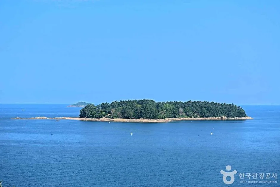
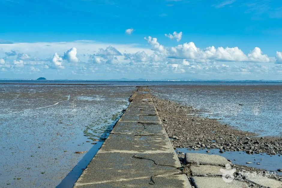 Photo: Korea Tourism Organization Photo Gallery (Daebunam-dong, Danwon-gu, Ansan-si, Gyeonggi-do) · KOGL (Korea Open Government License)
The character of this course is “a flat long run that wins by sheer length.” The highest point is only 101m, and the cumulative climb works out to just 8.7m per kilometer — so what breaks your legs here isn’t the grade, it’s the accumulated distance and the wind. That’s why the core of your pacing strategy is holding back early.
Section breakdown (recommended)
| Section | Goal | Perceived effort |
|---|---|---|
| 0–4km | 20–30 sec/km slower than target pace | Conversational |
| 4–10km | Settle into target pace, keep it steady | Comfortable but focused |
| 10km–finish | Hold your cadence, shorten your stride | Pick it up in the last 2km only if you’ve got something left |
Target finish times
| Level | Pace | Estimated time |
|---|---|---|
| Beginner (run-walk mix) | 8:00–9:00/km | 2 hours to 2 hours 20 min |
| Intermediate (jogging) | Around 6:30/km | Around 1 hour 40 min |
| Advanced (tempo) | 5:00–5:30/km | 1 hour 15–25 min |
For beginners, I’d recommend a run-walk approach: repeat “10 minutes running + 2 minutes walking.” Since the surface is flat, your heart rate settles quickly during the walking segments, so you can cover the full distance without overdoing it.
Turnaround point & hydration timing
Since this is a point-to-point course, the standard approach is to take public transit back from the finish. If you drove in, or you want to bank some long-run volume, go with the 30.6km out-and-back option. In that case, rather than treating the halfway mark as your turnaround, it’s psychologically easier to run all the way to the endpoint and then head back. If you’re going for the full out-and-back, keep the first half 30–40 sec/km slower than target pace to avoid a late-race collapse.
For hydration, drink before you feel thirsty — two or three sips at a time, every 20–25 minutes. In summer, tighten that to every 15–20 minutes, and if you’re attempting the out-and-back, bring an electrolyte drink or salt tablets along.
Water, Convenience Stores, and Restrooms
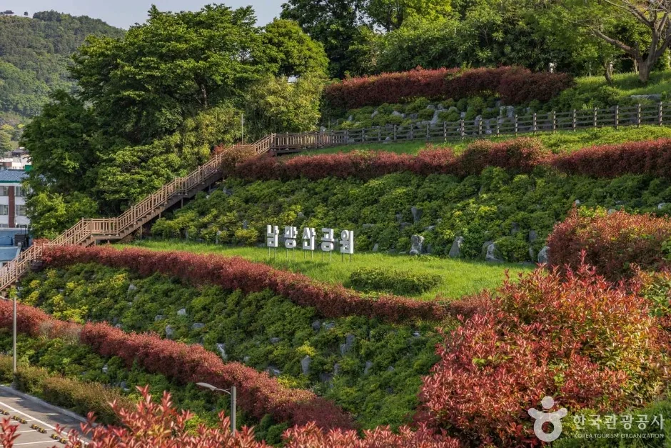
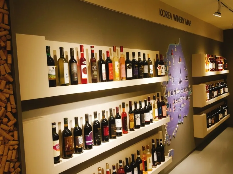 Photo: Korea Tourism Organization photo gallery (107 Ppeokguksan-gil, Danwon-gu, Ansan-si, Gyeonggi-do (Daebubuk-dong) · KOGL (Korea Open Government License)
On a course that runs for long stretches along the coast and through reclaimed land, it’s safest not to assume the amenities are evenly spread out. Here’s what I’d recommend.
- Top off before you start: Fill up your water and hit the restroom near the bus stop or in town before you reach the trailhead. I’d suggest two 500ml soft flasks, or 1L in a running vest.
- Scout ahead: Search for “convenience store,” “restroom,” and “park” along your route line in a map app beforehand, and save at least two spots as water candidates. The key is having a backup in case one turns out to be closed.
- Use the village sections: The villages, parking lots, and rest areas scattered along the coastal path become your de facto resupply points. Check how much water you have left before you pass through each one.
- Cache supplies for out-and-backs: If you’re driving in, the most reliable approach is to leave extra drinks in the car and swing back to restock at the halfway point.
- Carry cash and a transit card: Always keep a transit card on you for small purchases and the ride home.
Overview
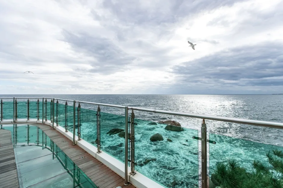
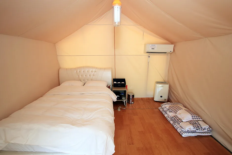 Photo: Korea Tourism Organization photo gallery (232-68 Buheung-ro, Danwon-gu, Ansan-si, Gyeonggi-do (Daebunam-dong) · Kogl (Korea Open Government License)
Seohaerang-gil Course 90 is a coastal running route that hugs the West Sea shoreline of Ansan. It’s not a mountain trail — it strings together coastal roads, walking paths, boardwalk decks, and village lanes into a flat course, which means your run is governed by open, straight-line rhythm rather than rocky footing that keeps your ankles on edge. With the sea, tidal flats, and sky opening up wide views the whole way, boredom is less of an issue, and it’s easy to hold a steady pace.
Ways to use this course
- Weekend long runs / marathon LSD training: With few traffic lights and no steep climbs, it’s well suited to long, low-heart-rate distance work. Stretch it into a 30.6 km out-and-back and you’ve got a 30 km training run for a full marathon.
- Morning jogs: Run it at sunrise with the sea beside you — or carve out just a section and use it as a 5–8 km loop.
- Destination running (a “runcation”): It’s an easy day trip from the Seoul metropolitan area, so you can bundle a weekend outing and a run into one.
- Beginner walk-runs and running debuts: With almost no elevation change to worry about, it’s a great place to mix walking and running for your first taste of long distance.
- Tempo and pacing practice: The flat surface makes it ideal for practicing consistent kilometer splits.
Course Info
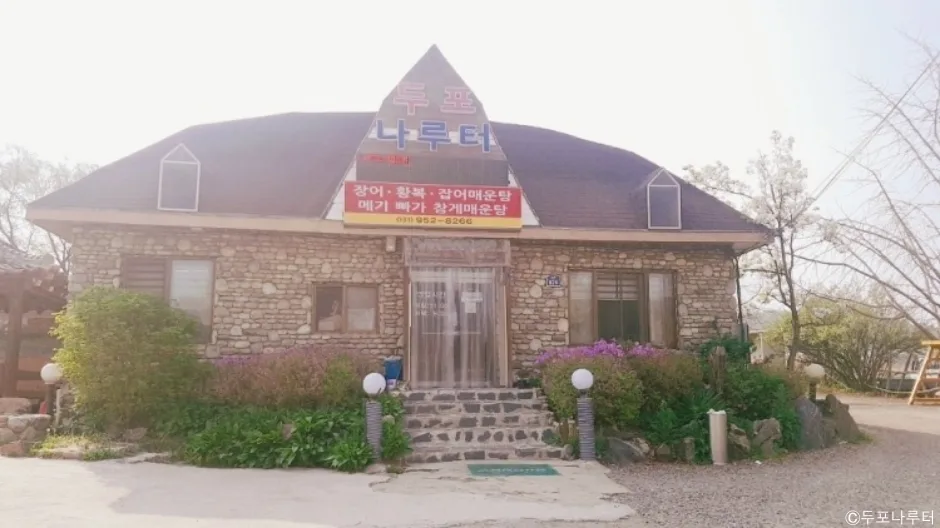
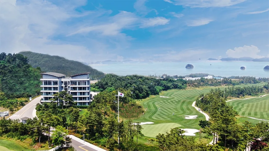 Photo: Korea Tourism Organization photo gallery (466 Daeseon-ro, Danwon-gu, Ansan-si, Gyeonggi-do (Daebunam-dong) · Kogl (Korea Open Government License)
The easiest place to start is around the Goraetburi-ipgu bus stop, and the course runs long along the coastline in a north–south direction, wrapping up where it connects to the next section. Along the way you’ll pass near the Daenam Elementary School bus stop, so if you use these two points as your start and midway markers, planning your splits becomes a whole lot easier.
The surface alternates between four main types.
| Surface Type | Characteristics | Things to Watch For |
|---|---|---|
| Coastal road / seawall | Open views, long straightaways | Headwind stretches can drag on |
| Wooden boardwalk | Soft underfoot, low impact | Extremely slippery when wet with rain, dew, or frost |
| Village roads / sidewalks | Overlaps with local foot traffic | Watch for pedestrians and vehicles pulling in and out |
| Dirt-gravel mix | Easy on the feet, but uneven in spots | Mind your ankles, keep your cadence steady |
The scenery cycles through sea views, tidal flats, seawall lines, and coastal villages. There’s gentle rolling terrain, so it’s not perfectly flat — but as the max elevation of 101m suggests, there are no steep climbs that’ll break your running rhythm.
Getting There (Access & Transit)
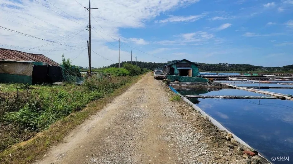 Photo: Korea Tourism Organization photo gallery (41 Dongju-gil, Danwon-gu, Ansan-si, Gyeonggi-do (Daebu-dong-dong) · KOGL (Korea Open Government License)
You can get here by public transit just fine, but a transfer is required, so I’d call the accessibility middling.
- Train: Take Seoul Metro Line 4 or the Suin-Bundang Line to one of the stations in downtown Ansan (Jungang, Handae-ap, Sangnoksu, etc.). From central Seoul, plan on roughly 1 hour to 1 hour 20 minutes.
- Bus transfer: At the stop in front of the downtown Ansan station, transfer to a local bus heading toward the coast. Get off at Goraetburi Ipgu (Goraetburi Entrance) or Daenam Elementary School — these are the reference points for reaching the trailhead.
- Check the bus schedule — this one’s non-negotiable: Coastal routes run far less frequently than downtown ones. Check real-time bus info before you set out, and screenshot the time of the last bus back from the terminus in advance. On a point-to-point course, the most common way things go wrong is the ride home.
- Driving: Use the public and village parking lots along the coastal road. On weekends and in peak season they tend to fill up before noon, so I’d recommend an early start. If you’re coming by car, doing the full 30.6km out-and-back — or turning around at the halfway point — neatly solves the return-trip problem.
- Taxi: There can be a fair bit of distance left between the bus stop and the trailhead, so having a ride-hailing app installed ahead of time comes in handy.
Safety Notes
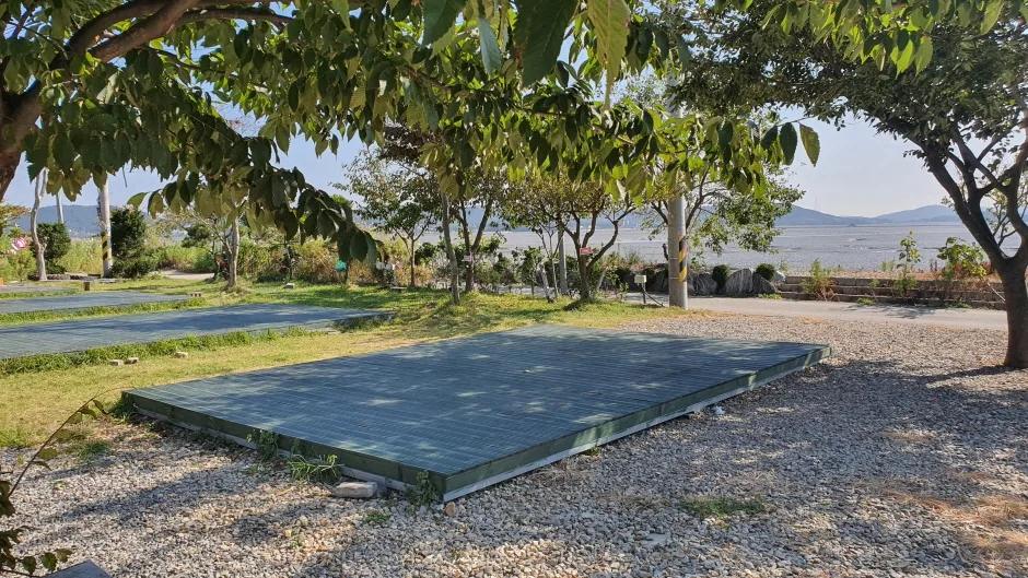 Photo: Korea Tourism Organization photo gallery (359-43 Buheung-ro, Danwon-gu, Ansan-si, Gyeonggi-do (Daebunam-dong) · Kogl / Public Nuri license)
- Shared pedestrian and vehicle sections: Along the village roads and sidewalk stretches, cars pull in and out constantly. Keep your earphone volume low, use just one ear, or better yet, go with bone-conduction headphones.
- Visibility at night: Some parts of the coastal section have very few streetlights. After sunset, treat a headlamp and reflective gear as non-negotiable, and if you can, avoid running alone at night altogether.
- Coastal wind: You’ll hit long stretches of headwind blowing from one direction. Don’t fight to hold your pace through them — run by effort instead.
- Heat and dehydration: There are long open sections with little shade. In summer, shift your run to before 9 a.m. or around sunset, and if you notice warning signs like dizziness, chills, or your sweating suddenly stopping, stop immediately.
- Slippery surfaces: The boardwalk decking and the top of the seawall get extremely slick when wet from rain, dew, frost, or sea fog. On wet decking, shorten your stride and keep your feet on the ground longer.
- Tides and weather: The coastal section feels noticeably more dangerous in strong wind or sea fog. If there’s a weather advisory out, you’re better off postponing.
- Emergencies: Call 112 (police) or 119 (fire/rescue). Some stretches are hard to describe by location alone, so learn how to share your coordinates from your map app ahead of time.
Season, Weather, and What to Wear
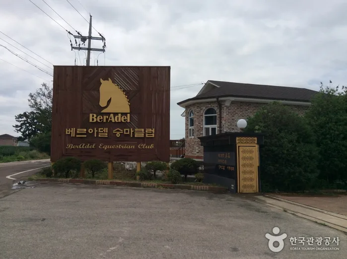 Photo: Korea Tourism Organization Photo Gallery (376 Buheung-ro, Danwon-gu, Ansan-si, Gyeonggi-do) · KOGL (Korea Open Government License)
The best seasons are April–May and September–November. The temperatures are mild and the air is clear, so you get the coastal views in all their glory.
| Season | What to Expect | How to Prepare |
|---|---|---|
| Spring | Ideal. Wind can still be strong, though | A light windbreaker |
| Summer | Little shade, high humidity | Run at dawn or dusk; electrolytes and extra water |
| Fall | Ideal. Crisp air, and the pace comes easy | Sun sets early — bring a headlamp |
| Winter | Sea wind sends the wind chill plummeting; decks ice over | Windproof jacket, gloves, neck gaiter, shoes with good grip |
Clothing & Gear Checklist
- Cushioned road running shoes (you don’t need trail shoes)
- 500ml–1L of water (soft flask or running vest)
- Cap or visor, sunscreen, sunglasses
- Windproof jacket (for the coastal wind — recommended year-round)
- 1–2 gels or energy bars (a must past 10km or for an out-and-back)
- Power bank, transit card, ID
- Compression sleeves if you have a history of knee or ankle issues
Tips for International Runners
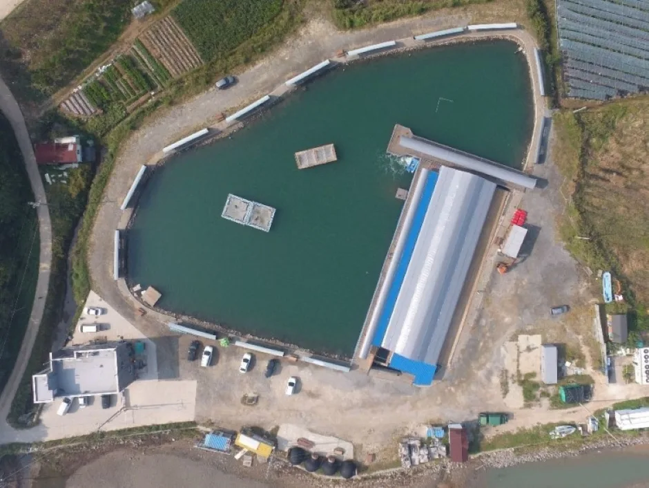 Photo: Korea Tourism Organization photo gallery (107 Jalpuri-gil, Danwon-gu, Ansan-si, Gyeonggi-do (Daebunam-dong) · Kogl (Korea Open Government License))
Course name: This is Seohaerang-gil Course 90 (서해랑길 90코스) in Ansan-si (안산시), Gyeonggi-do (경기도). The trailhead bus stop is Goraetburi-ipgu (고랫부리입구), and the midpoint landmark is Daenam Elementary School (대남초등학교). Screenshot the Korean names as written — it makes confirming bus stops and hailing taxis so much easier.
Map apps: In Korea, Google Maps’ walking and running directions are often inaccurate or simply unavailable. Install KakaoMap or Naver Map instead. Both offer English interfaces, and their walking routes, bus stops, restrooms, and convenience store searches actually match the terrain on the ground. Pasting the Korean names above into the search bar is the most reliable approach. And in case you hit a dead zone, save offline maps or screenshots of the course sections before you go.
Public transit and transit cards: For transfer directions, Naver Map or the Kakao Metro / Kakao Bus apps are your most accurate options. For payment, pick up a T-money or Cashbee transit card at any convenience store, load it up, and you can use it on buses, subways, and some taxis. Foreign-issued contactless cards may not work on every route, so having a transit card is the safer bet. For taxis, I recommend the Kakao T app.
Water and convenience stores: Korea’s major convenience store chains are GS25, CU, 7-Eleven, and emart24, and all of them stock bottled water, sports drinks (Pocari Sweat and Gatorade types), bananas, and energy bars. That said, stores can be few and far between along the coastal stretches of this course, so make it a rule to top off your water before you start. For restrooms, search “화장실 (hwajangsil)” in your map app around parks, parking lots, and bus stops.
Everything else: I’d recommend buying bottled water rather than drinking straight from the tap. Emergency numbers are 119 (ambulance/fire) and 112 (police), and the tourist helpline at 1330 offers English assistance 24 hours a day. Since this is a point-to-point course, check the time of the last bus back before anything else — and if you’re running solo, let your hotel or a friend know when you expect to finish.
📍 Seohaerang Trail Section 90: A Coastal Running Route in AnsanLocation
Contact: bumseok.view [at] gmail [dot] com
Comments