Seohaerang Trail Section 47: A Coastal Running Route in Gyeokpo, Buan
Running · Published 8/19/2026 ·
러닝 코스 트랙 (공공데이터: 한국관광공사 두루누비) · 지도 © OpenStreetMap ⤓ GPX 다운로드
Can a Beginner Runner Handle This Course? Is It Doable as a Day Trip from Seoul?
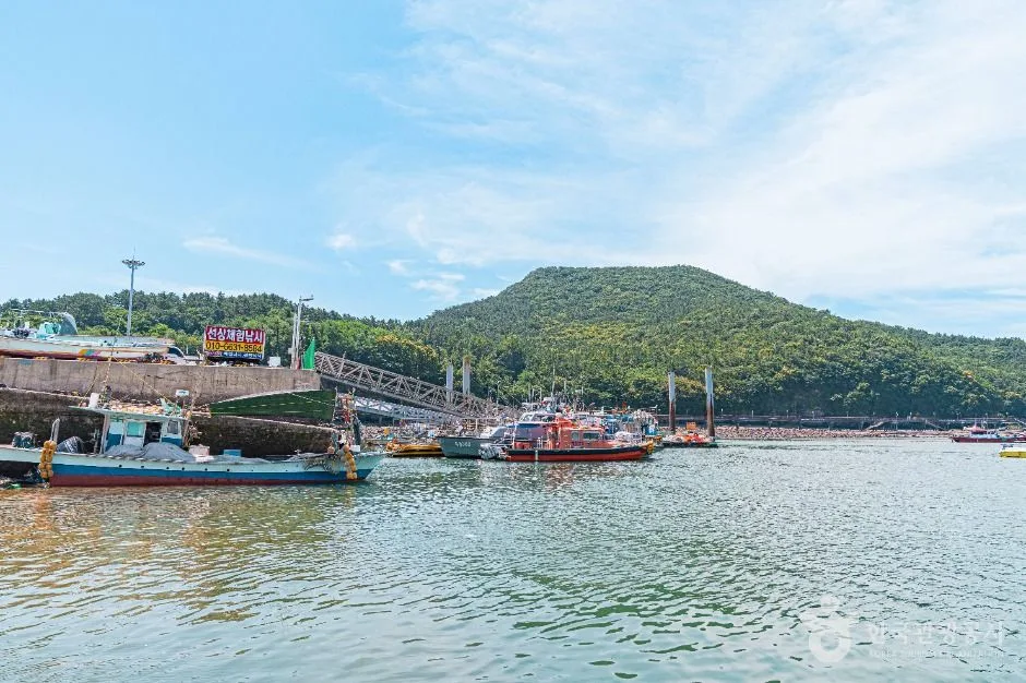 Photo: Korea Tourism Organization Tourism Photo Gallery (Gyeokpo-ri, Byeonsan-myeon, Buan-gun, Jeollabuk-do) · KOGL (Korea Open Government License)
Let me cut to the chase: the answer to both questions is yes. Seohaerang Trail Course 47 is a coastal route that hugs the West Sea around Gyeokpo in Buan, with almost no ups and downs — so even if you don’t have much running experience, you can finish it with a mix of walking and running. A day trip is also entirely doable. That said, getting to Buan takes close to half a day each way, so you’ll want to plan around a pre-dawn departure to be safe.
In star ratings, accessibility gets ★★★★☆. Intercity and rural buses run right up to the trailhead, so you’ll manage fine without a car — but it falls short of full marks because coming from a major city like Seoul or Busan means at least one transfer. Difficulty is a low ★★☆☆☆. The highest point is just 41 meters and the cumulative elevation gain works out to about 0.8 meters per kilometer, so this is less hill training and more a pure exercise in holding your pace. Surface smoothness earns a full ★★★★★, and honestly, that’s this course’s biggest selling point.
By season, spring and fall are the best, both at ★★★★★. The sea breeze is cool and the humidity low — ideal conditions for a long run. Summer gets ★★☆☆☆. The coastal stretches offer almost no shade, and the heat index climbs sharply at midday, so you’ll need to shift your run to early morning or around sunset. Winter comes in at ★★★☆☆ — the temperature itself is bearable, but the headwind blowing straight off the West Sea makes it feel much colder than it is.
Source: GPX field measurements from Korea Tourism Organization’s Durunubi · Seasonal ratings are for reference only
Running Pace and Section Strategy
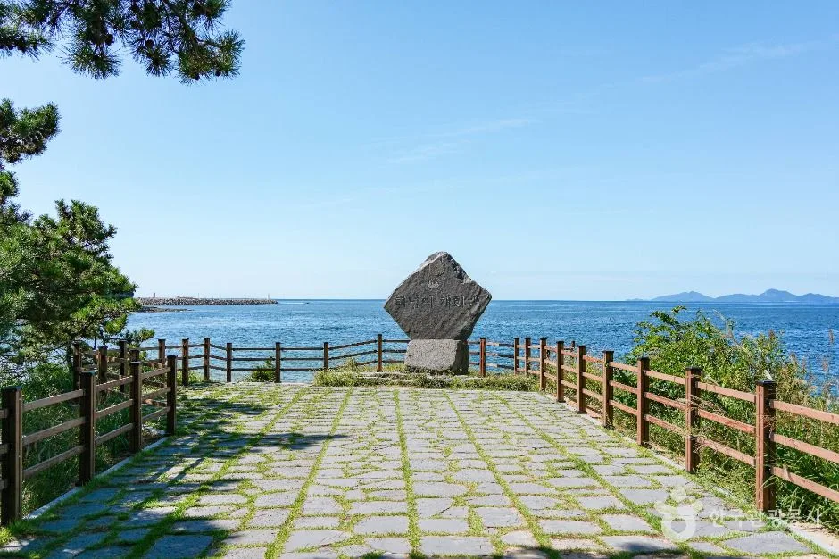 Photo: Korea Tourism Organization Tourism Photo Gallery (29-14 Byeonsanhaebyeon-ro, Byeonsan-myeon, Buan-gun, Jeonbuk State) · KOGL
Since the course has virtually no elevation change, an even pace across the entire distance is your most efficient bet. If you let the ocean views lure you into speeding up early on, you’ll likely hit a wall in the later coastal straightaway, worn down fast by the wind and the monotony.
| Level | Pace | Estimated finish | Strategy |
|---|---|---|---|
| Beginner | 7:30–8:00/km | About 1:47–1:54 | Repeat 9 min running + 1 min walking |
| Intermediate | 6:30/km | About 1:33 | Even pace the whole way |
| Advanced | 5:30/km | About 1:19 | Build up over the final 5 km |
I’d suggest breaking the course into three sections. The first 4 km is your warm-up — go 20–30 seconds slower than goal pace. From 4 to 10 km is the main block; once your breathing settles, lock in your target pace. The final stretch after 10 km feels easier or harder depending on the wind direction, so if you’re facing a headwind, don’t cling to your pace — lower your upper body slightly and focus on keeping your cadence instead.
For hydration, drink once before you start, then take a sip every 4–5 km. In summer, shorten that to every 3 km.
It’s a point-to-point course, so turning around at the end gives you a 28.6 km out-and-back. If you’re training for a marathon, this makes an excellent LSD (long slow distance) route. In that case, ease off to around 7:00/km, plan on roughly 3 hours 20 minutes, and make sure you restock on water and snacks at the turnaround before heading back. And if you’re not confident you can make the full return trip, just turn around at the halfway point — an out-and-back lets you set the distance yourself.
Water, Convenience Stores, and Restrooms
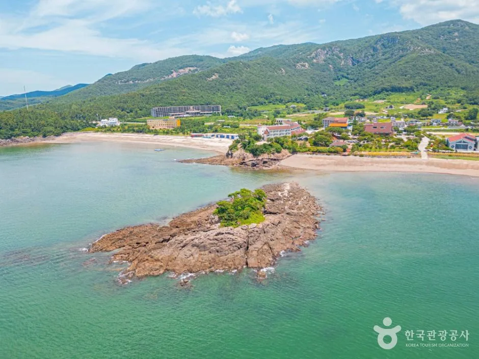 Photo: Korea Tourism Organization photo gallery (Docheong-ri, Byeonsan-myeon, Buan-gun, Jeonbuk State) · Kogl (Korea Open Government License)
It’s the nature of a coastal course: there are stretches in the middle where shops are few and far between. Don’t build your plan around any particular facility being there — instead, I’d suggest sticking to these principles.
- Stock up before you start: The harbor at the trailhead is a lived-in area with a village and a terminal nearby, so grab your water, electrolyte drinks, and a couple of energy gels before heading out.
- Carry at least 500ml: 500ml in spring and fall; in summer, go with 1L or more, or two soft flasks in a running vest.
- Restrooms: Beaches, harbors, and parking lots at major tourist spots usually have public restrooms. Plan around going right before you start and after you reach the finish — honestly, it’s easier on your peace of mind not to count on anything in between.
- Cash and cards: Small village shops may not take cards, so bring some cash in small bills.
Course Overview
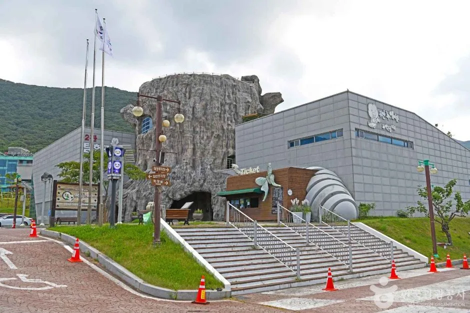 Photo: Korea Tourism Organization Photo Gallery (434-20 Chambong-ro, Byeonsan-myeon, Buan-gun, Jeonbuk State) · Kogl (Korea Open Government License)
Seohaerang-gil Course 47 is a one-way route that follows the west coast through Buan-gun, Jeollabuk-do. The Seohaerang-gil is a long-distance walking trail that runs the entire length of the Korean Peninsula’s west coast, and Course 47 is one of the stretches that hugs the sea and fishing-village scenery around Gyeokpo in Buan most closely. Thanks to the smooth, level surface and wide-open ocean views, running here feels much more like road running than trail running.
There are plenty of ways to put this course to use:
- Weekend long run: The flat surface makes it easy to log double-digit mileage without your pace falling apart.
- Marathon LSD training: Run it out and back for 28.6 km and you’ve got a solid long-distance session for full-marathon prep.
- Destination running: Tack a day onto a Buan trip — run the coast in the morning, sightsee in the afternoon. The combination works beautifully.
- Beginner run-walk: Mixing running and walking for a couple of hours makes this a great first taste of long-distance for newcomers.
- Morning jog: If you’re staying nearby, even a simple 5K out-and-back around sunrise is plenty satisfying.
Course Details
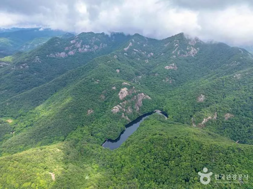 Photo: Korea Tourism Organization photo gallery (11 Bangpaje-gil, Byeonsan-myeon, Buan-gun, Jeonbuk State) · KOGL (Korea Open Government License)
The route starts in the area around Gyeokpo Port (Gyeokpohang). With the harbor, terminal, and shops all clustered together, it’s an easy place to get ready before heading out, and nearby you’ll find the coastal terrain of the Chaeseokgang area, known for its layered sedimentary rock cliffs. The sea comes into view right from the start, so you get a feel for the character of this course from the very first steps.
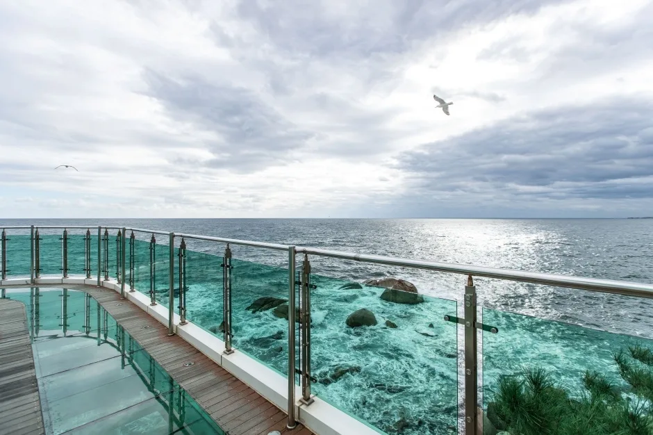
From there, the course alternates between sidewalks along the coastal road, paved paths connecting one village to the next, and boardwalk sections overlooking the sea. Along the way you pass fishing villages, small harbors, and beaches, with tidal flats, sandy shores, and pine windbreak forests taking turns in the scenery. The surface is mostly pavement or wooden decking, so your running shoes get solid grip, and even where dirt paths mix in, they’re well-maintained trail quality.
Since the route follows a winding coastline with one gentle curve after another, the view never opens up for kilometers at a stretch. That actually works in your favor — it keeps things from getting monotonous, which is a real plus on a long run. The finish is also in a coastal village area, so you can cool down and connect to public transit once you arrive.
Getting There
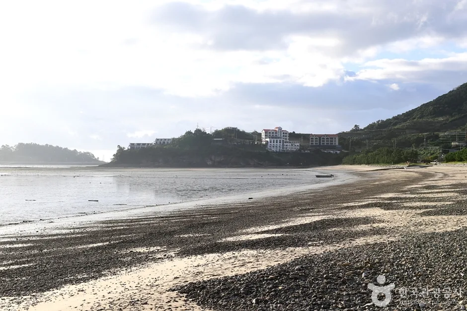 Photo: Korea Tourism Organization photo gallery (3210-16 Byeonsan-ro, Byeonsan-myeon, Buan-gun, Jeonbuk State) · KOGL (Korea Open Government License)
Public transit: Coming from the Seoul metro area, the simplest option is an express or intercity bus from Seoul Central City Terminal to Buan Bus Terminal. If you’d rather take the train, you can ride the KTX to Jeongeup Station and transfer to an intercity bus bound for Buan. From downtown Buan, local intercity or rural buses connect to Gyeokpo.
The bus stops nearest the trailhead are Gyeokha 2, Gyeokpo, and Gyeokpo Port Terminal. Of these, Gyeokpo Port Terminal is the easiest landmark to spot, so if it’s your first visit, I’d suggest setting it as your destination.
Rural buses run infrequently, and the last one leaves early. Be sure to check the timetable the night before you go — figure out the last bus back from the endpoint first, then work backwards to set your start time for the run.
By car: Take the Buan IC exit off the Seohaean Expressway and head toward Gyeokpo. There are public and street parking areas around the port and the beach, but they get crowded on peak-season weekends. Since this is a point-to-point route, you’ll want to decide in advance how you’re getting back to your car — either running the route both ways or catching a bus.
Safety & Precautions
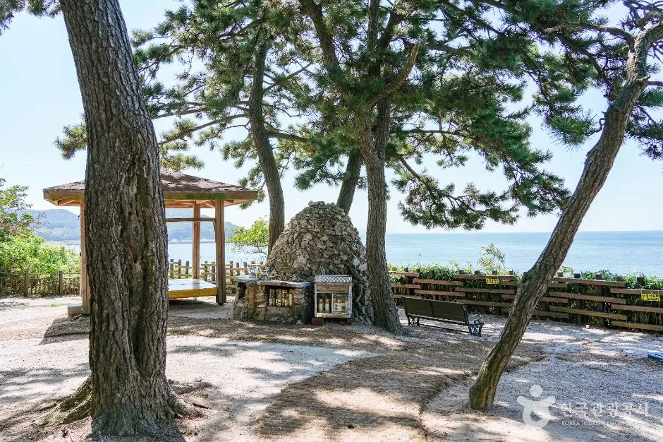 Photo: Korea Tourism Organization photo gallery (54 Jeokbyeokgang-gil, Byeonsan-myeon, Buan-gun, Jeollabuk-do) · Kogl (Korea Open Government License)
- Shared road sections: Where the route follows the sidewalk along the coastal road, you’ll be running close to traffic. Run facing oncoming vehicles whenever possible, and either use just one earbud or switch to a transparency mode so you can hear what’s around you.
- Be considerate of pedestrians: The boardwalks and beach paths are shared with tourists. When passing someone from behind, slow down and give them plenty of room.
- Coastal wind: The West Sea gets a lot of windy days. A headwind section can slow your pace by 30 seconds or more, so don’t obsess over your splits.
- Visibility at night: Some stretches through the fishing villages have few streetlights. After sunset, a headlamp and reflective gear are a must, and I wouldn’t recommend running alone at night.
- Slippery surfaces: The boardwalks get seriously slick when wet with rain or dew. Watch out for wet rocks and moss where the path meets the mudflats and beach, too.
- Heat and dehydration: There are long stretches with barely any shade. If you feel dizzy or suddenly stop sweating, stop immediately and get into the shade.
- Tides: On sections that cross the beach directly, passage can be difficult depending on the tide, so I’d recommend checking high tide times in advance.
Season, Weather, and What to Wear
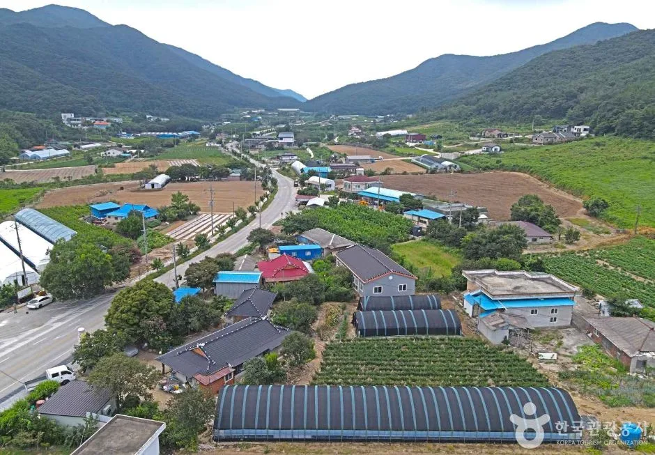 Photo: Korea Tourism Organization Tourism Photo Gallery (434-20 Champpong-ro, Byeonsan-myeon, Buan-gun, Jeonbuk State) · KOGL (Korea Open Government License)
The best windows are April through June and September through November. The temperatures are mild, and you’ve got a great shot at catching that sunset the West Sea is famous for — starting out in the late afternoon and wrapping up as the sun goes down makes for a run you’ll remember. In summer, shift your run to 6–8 a.m. or after 6 p.m. In winter, mid-morning is your best bet, when the wind tends to be calmer. Watch out for ice on the boardwalk decking and shaded stretches of pavement in winter — keep your stride short.
| Season | Recommended Clothing | Extra Gear |
|---|---|---|
| Spring/Fall | Short sleeves or a light long-sleeve top + running shorts | Windbreaker, sunscreen |
| Summer | Breathable short sleeves + shorts | Hat and sunglasses, 1L+ of water, salt tablets |
| Winter | Technical base layer + windproof jacket + tights | Gloves, neck gaiter, ear warmers |
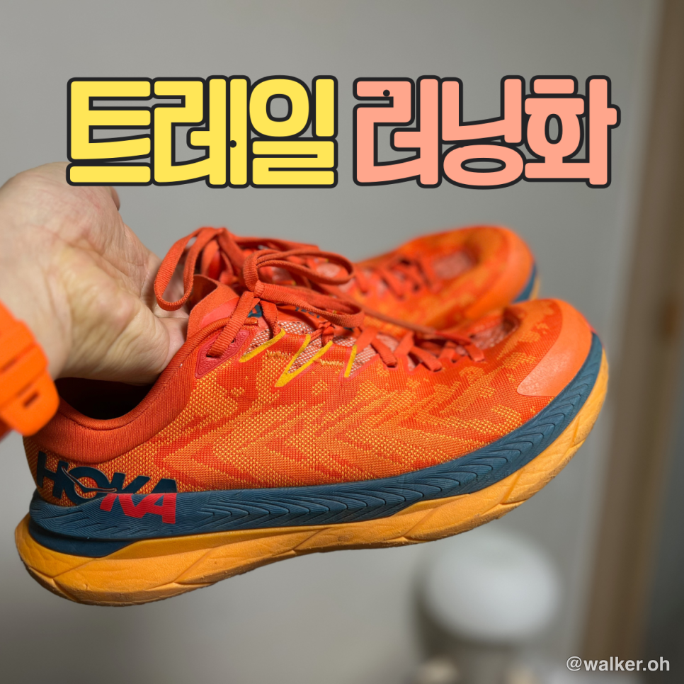
Since the route is mostly hard pavement, road running shoes with plenty of cushioning are the way to go. You won’t need trail shoes. If you’re planning a long run, I’d recommend a running vest or waist belt that can carry water and snacks. The coastal wind can sap your body heat surprisingly fast, so outside of summer, it’s worth packing a thin windbreaker you can fold up and carry along.
Tips for International Runners
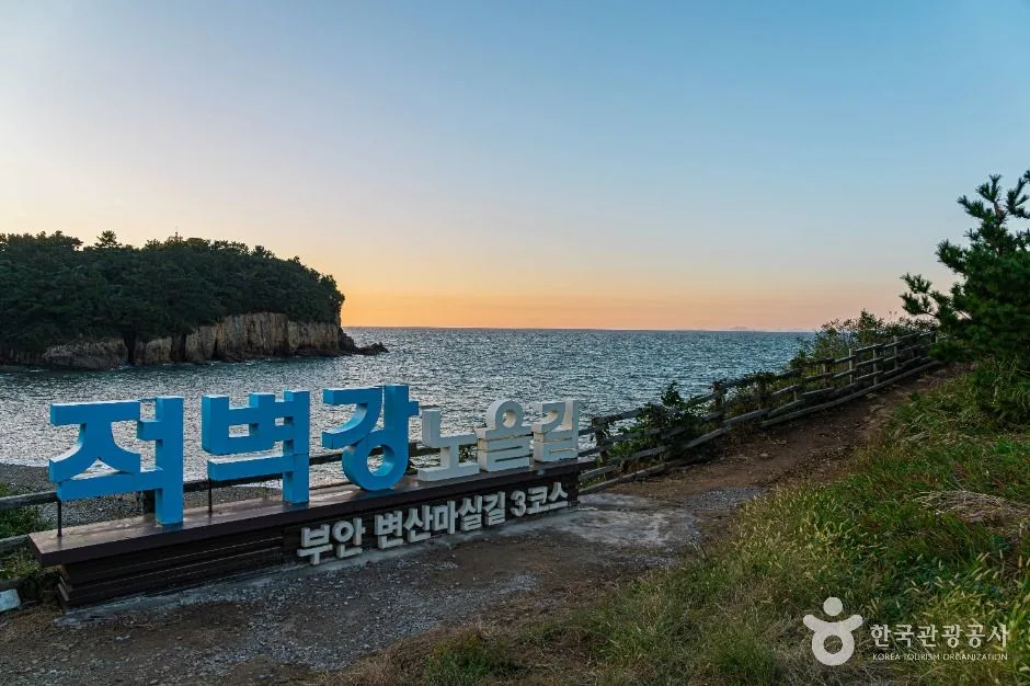 Photo: Korea Tourism Organization Tourism Photo Gallery (20-4 Jungmak-gil, Byeonsan-myeon, Buan-gun, Jeonbuk State) · KOGL (Korea Open Government License)
Course name in Romanized Korean: The course is Seohaerang-gil Course 47, located in Buan-gun, Jeollabuk-do. The trailhead is Gyeokpo Port, or Gyeokpohang. If you need to ask for directions locally, just say “Gyeokpo-hang” — most people will know exactly what you mean.
Map apps: Due to legal restrictions in Korea, Google Maps often gives inaccurate walking and running directions — or none at all. Install KakaoMap or Naver Map instead. Both apps support English and provide walking routes along with bus timetables. For the trail route itself, refer to the official Durunubi resources. Some coastal stretches have spotty cell coverage, so download offline maps before you head out.
Public transit and transit cards: For intercity bus tickets, use the Bustago or TmoneyGO apps. To ride local city and rural buses, you’ll need a T-money or Cashbee transit card, which you can buy and top up at any convenience store. Some rural buses only take cash, so it’s reassuring to have a few 1,000-won bills on hand.
Water and convenience stores: Korea’s convenience store chains are GS25, CU, 7-Eleven, and Emart24. Most are open 24 hours, and you can pick up bottled water, sports drinks, energy bars, bananas, even sunscreen. That said, there may be no convenience stores along the coastal village stretches, so make sure you stock up around Gyeokpo before setting out.
Everything else: Korean tap water is safe to drink, but I’d recommend buying bottled water while you’re running. In an emergency, dial 119 (ambulance and fire) or 112 (police). For tourism-related questions, the 1330 travel helpline offers support in English, Japanese, Chinese, and more.
📍 Seohaerang Trail Section 47: A Coastal Running Route in Gyeokpo, BuanLocation
Contact: bumseok.view [at] gmail [dot] com

Comments