Haeparang Trail Course 42: A Coastal Running Route in Yangyang
Running · Published 8/15/2026 ·
러닝 코스 트랙 (공공데이터: 한국관광공사 두루누비) · 지도 © OpenStreetMap ⤓ GPX 다운로드
At a Glance
| Metric | Rating |
|---|---|
| Accessibility (public transit) | ★★☆☆☆ |
| Course difficulty | ★★★★☆ |
| Surface (evenness) | ★★★★★ |
| Seasonal running — Spring | ★★★★★ |
| Seasonal running — Summer | ★★★☆☆ |
| Seasonal running — Autumn | ★★★★★ |
| Seasonal running — Winter | ★★★☆☆ |
※ Source: GPX field measurements from Korea Tourism Organization’s Durunubi · Seasonal ratings are rough guides
Overview
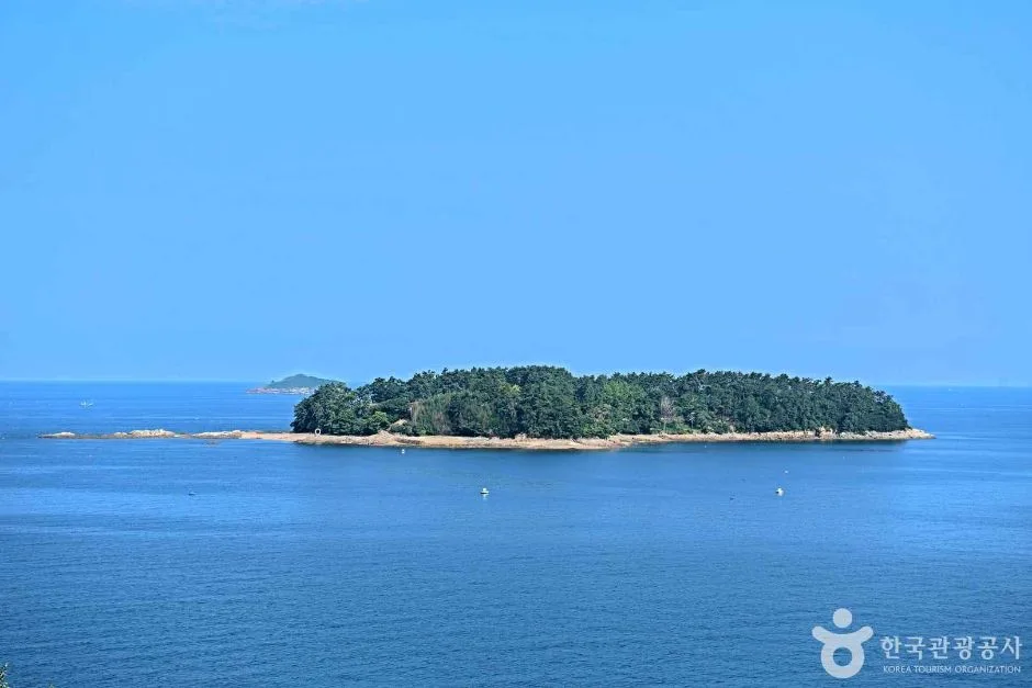
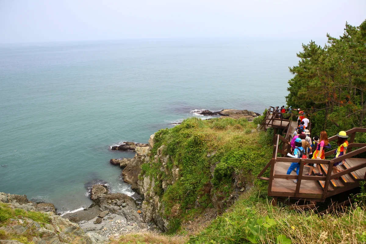 Photo: Korea Tourism Organization photo gallery (Nam-gu, Busan) · KOGL
Haeparang-gil Course 42 is a coastal running route that follows the East Sea shoreline through Yangyang County, Gangwon Province. It’s the classic flat seaside run — waves on one side, and underfoot it’s almost all level: coastal promenade, sidewalk, and boardwalk. That combination lets you just settle in and focus on pace. There’s no sharp climbing to spike your heart rate, so you can hold a steady effort, and because the ocean view keeps changing, it rarely gets monotonous.
You can put this course to work in a few different ways.
- Travel running: If you’re visiting Yangyang or Sokcho, it’s ideal for slipping out of your accommodation early and running easy with the sea beside you. Time it for sunrise and you get that distinctly East Sea sunrise as part of the run.
- Weekend long runs and LSD training: It’s a one-way route, so running out and back gives you roughly 19.4 km — a solid long, slow distance session if you’re building endurance for a marathon.
- Beginner walk-run and morning jogging: The flat surface keeps things gentle, which makes it forgiving for beginners mixing walking with running, or for anyone who just wants an easy recovery jog.
Course Details
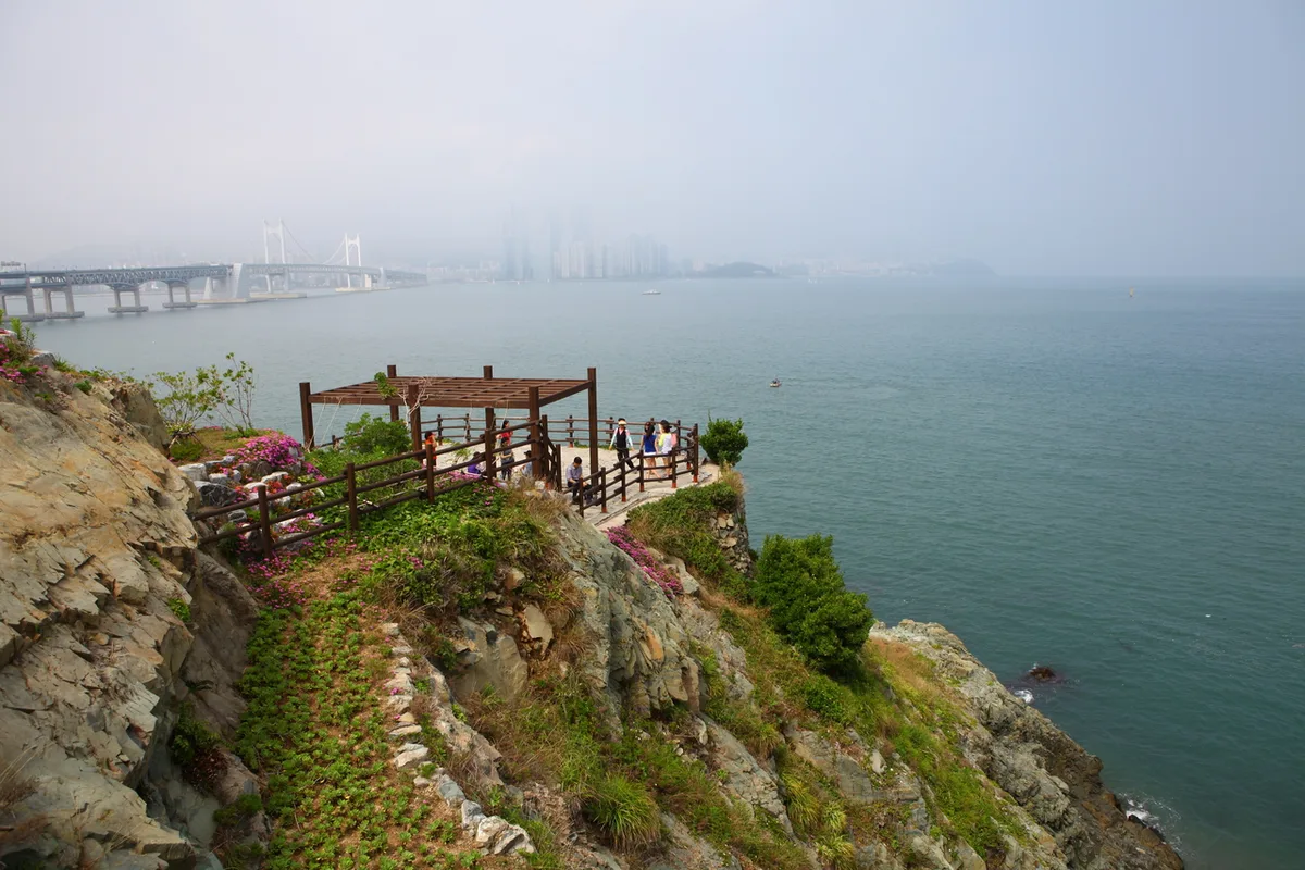 Photo: Korea Tourism Organization photo gallery (Nam-gu, Busan) · KOGL
This is a one-way coastal route running north-south along Yangyang’s East Sea shoreline. You start at one end, work your way past beaches, fishing villages, and seaside boardwalks, and finish at the other — with the ocean on your right or your left the whole time and long stretches where the view opens right up.
The surface is a mix of coastal sidewalk, wooden decking, and paved road through the villages. The decked sections are soft underfoot and go easy on your joints, but they can get slick after dew or rain, so watch your step. Where the route passes through villages and harbors, you’ll be sharing the regular roadside sidewalk for a bit — keep an eye out for cars and pedestrians and dial back the pace.
The scenery alternates between white sand, breakwaters, small fishing ports, and pine groves, unfolding like a panorama along the coastline. It’s close to flat, but the coastal terrain means gentle rises and dips keep coming, which gives it a quiet rhythm you don’t get on a truly flat track.
Getting There (Access & Transport)
 Photo: Korea Tourism Organization photo gallery (Nam-gu, Busan) · KOGL
If you’re coming from the Seoul metropolitan area, here are the main ways to reach Yangyang.
- Express & intercity buses: Buses run from Seoul (East Seoul Bus Terminal and others) to Yangyang Intercity Bus Terminal. Once you’re in Yangyang, take a county bus or a taxi to the coastal trailhead.
- KTX + connecting bus: You can also take the KTX as far as Gangneung Station, then transfer to an intercity or local bus heading toward Yangyang.
- County buses: County buses link downtown Yangyang with the coastal villages, but they don’t run all that often. Check the timetable ahead of time, and if it doesn’t line up, mixing in a taxi is the safer bet.
Some trailheads and endpoints do have a bus stop nearby that you can walk from, but with such thin service, timing everything on public transport alone can be tricky. That’s exactly why the accessibility rating here is low. If you’re driving, use one of the public or village lots near the beach — and since this is a one-way course, work out in advance how you’ll get from the finish back to the start (calling a taxi, for instance) before you set off.
Running Pace and Segment Strategy
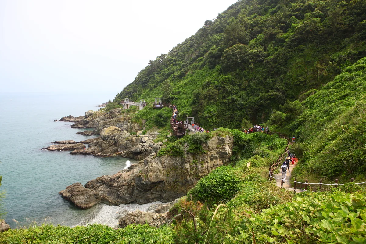 Photo: Korea Tourism Organization photo gallery (Nam-gu, Busan) · KOGL
Since it’s a point-to-point course, there are basically two ways to plan it.
① One-way run, then public transit or a taxi back This is the approach where you take advantage of the flat surface and hold a steady pace all the way to the end. For target finishing times, here’s a rough guide:
- Beginner: mix walking and running at a 7:00–7:30/km pace and finish comfortably
- Intermediate: hold a steady 6:00–6:30/km pace to the finish
- Advanced: tempo run at a 5:00–5:30/km pace
② Out-and-back run (about 19.4km) — long run or LSD This means turning around at the end point, which makes it a good fit for distance training. In that case, I’d suggest splitting the whole thing into two halves and starting the first half 10–20 seconds slower than your target pace, then holding or gradually picking up the pace after the turnaround, depending on how your body feels — a negative split. Treat the turnaround (the end point) as your aid and reset station: top up on water and a snack, check your shoelaces and clothing, and then head back. That way your rhythm never breaks.
On a coastal course, wind direction has a big effect on pace. If you’re heading into a headwind on the way out, don’t force it — the efficient approach is to save the effort, then use the tailwind on the way back to pick up speed in the second half.
Water, Amenities, and Restrooms
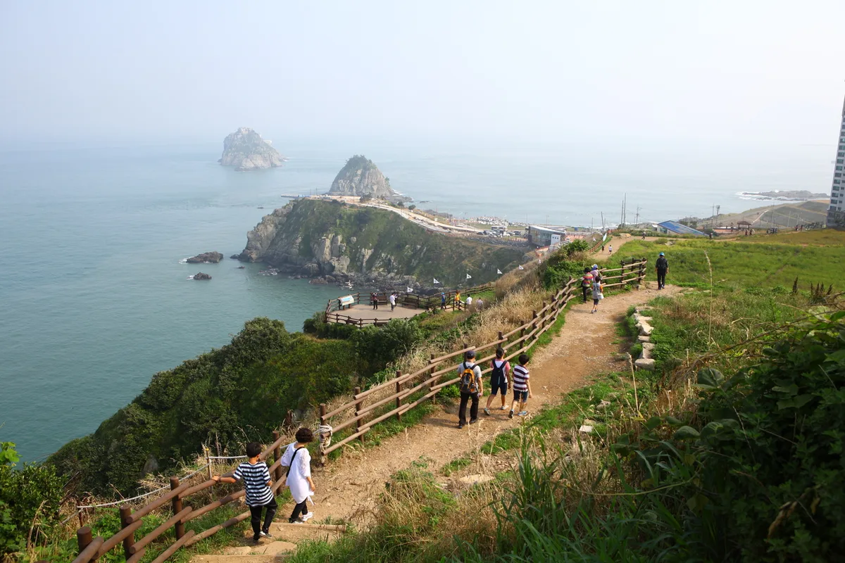 Photo: Korea Tourism Organization photo gallery (Nam-gu, Busan) · KOGL
Convenience stores and shops are reasonably well distributed along the sections that pass through coastal villages and harbors, but some stretches have very little, so make it a rule to carry 500ml to 1L of water with you from the start.
- Water: Whenever you pass a convenience store near a village or beach, top up on water and a sports drink. Always keep a bit in reserve for the stretches with no shops.
- Restrooms: Beaches, main beach entrances, and parks often have public restrooms. That said, access can be limited in the off-season or after dark, so it’s safer to go before you set off and again whenever you stop at a convenience store.
- Amenities: It’s hard to say for certain which facilities will be open, so save the locations of convenience stores and restrooms along the route in your map app beforehand — that way you won’t be wandering around mid-run.
Safety Notes
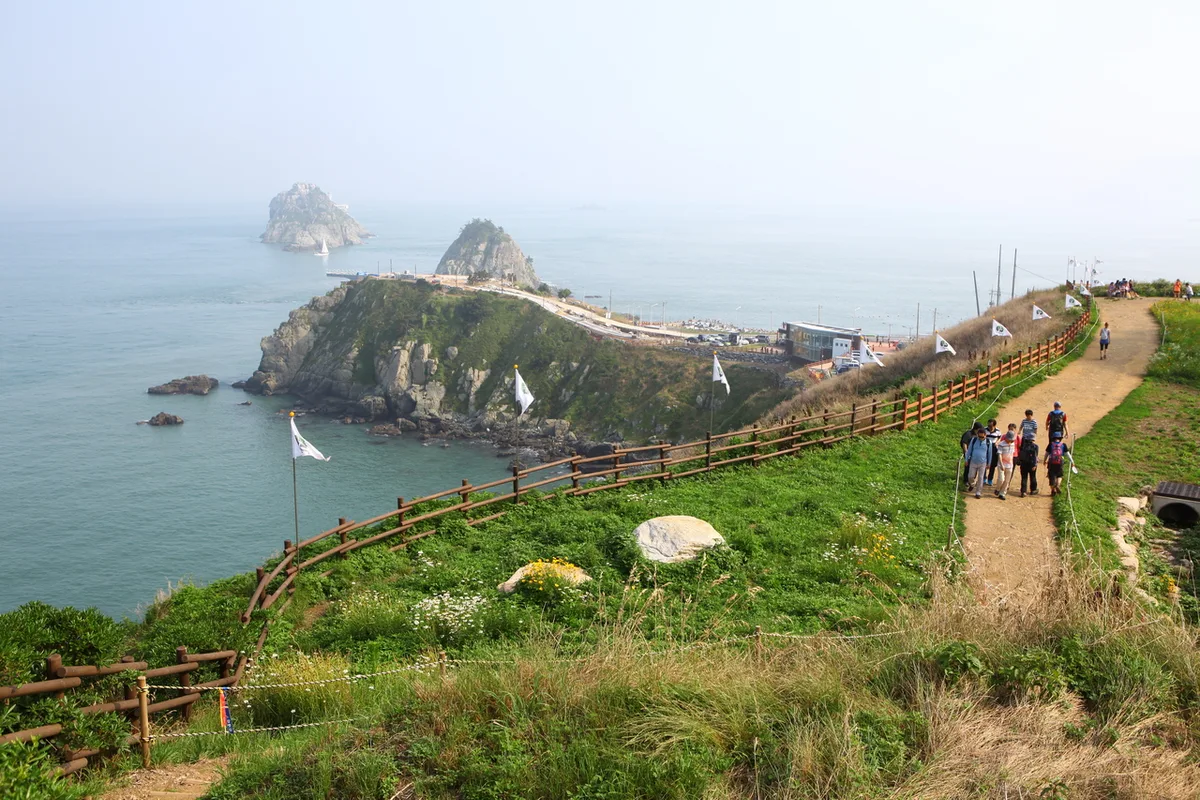 Photo: Korea Tourism Organization photo gallery (Nam-gu, Busan) · KOGL
- Shared pedestrian sections: Where the route passes through villages and harbors, you’ll be sharing space with bikes and cars. Turn your earbuds down and keep an ear on what’s around you.
- Nighttime visibility: Some stretches of the coastal path have no streetlights. If you’re running at night or before dawn, wear a reflective band or carry a light.
- Coastal wind and waves: Along the breakwaters and the sections next to the beach, the wind picks up and swells can wash right over the walkway — don’t hug the water’s edge too closely.
- Heat and dehydration: Much of the route is wide open with little shade, so it feels considerably hotter in summer. Drink often and don’t push the pace.
- Slippery footing: The decking and breakwaters get slick when they’re wet with rain, dew, or sea fog. You’ll want running shoes with decent grip.
Season, Weather, and What to Wear
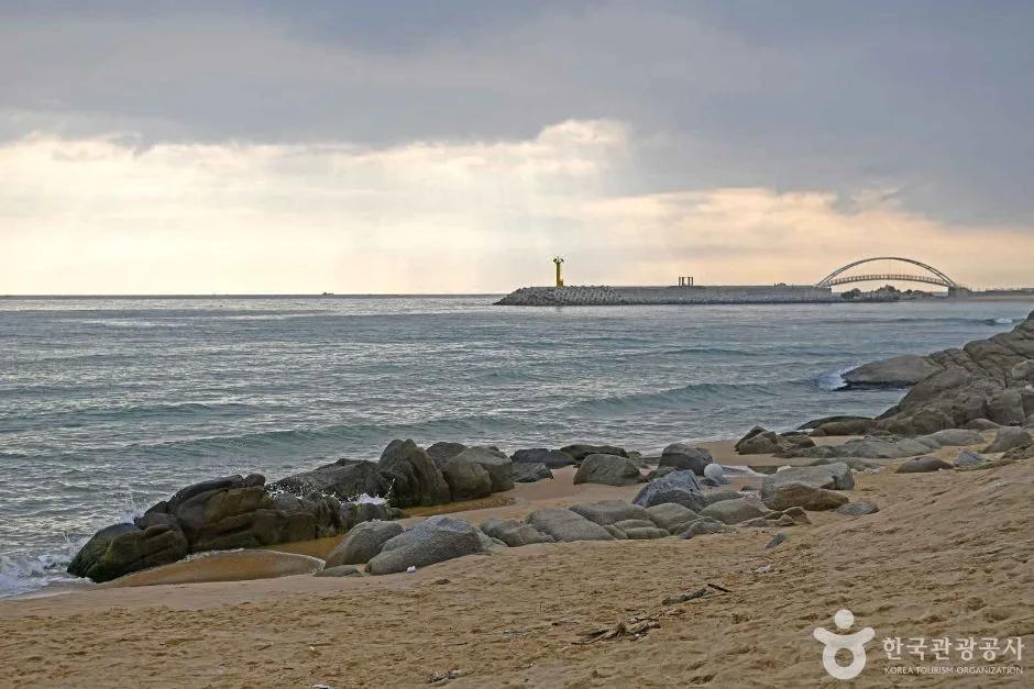 Photo: Korea Tourism Organization photo gallery (48 Annamae-gil, Hyeonnam-myeon, Yangyang-gun, Gangwon State) · KOGL
Spring and fall are hands-down the most pleasant seasons here. The temperatures are mild, the ocean views are crisp, and it’s ideal for long runs. Summer is rough unless you go out right after sunrise or after dark — the heat and UV take a real toll. And in winter, patches of ice along the coast plus a stiff sea wind can drop the feels-like temperature dramatically, so plan on windproof layers.
Here’s the basic kit I’d recommend:
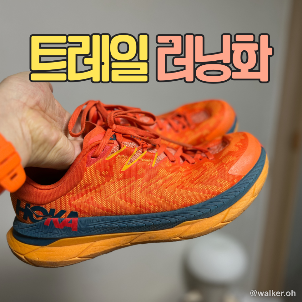
- Running shoes: something with decent grip for wet decking and paved sections
- Hydration: a handheld bottle or a running vest (non-negotiable if you’re doing the out-and-back long run)
- Sun protection: hat, sunglasses, sunscreen — a lot of this route is wide open with very little shade
- Seasonal gear: breathable fabrics in summer; a windproof jacket, gloves, and a neck warmer in winter
Tips for International Runners
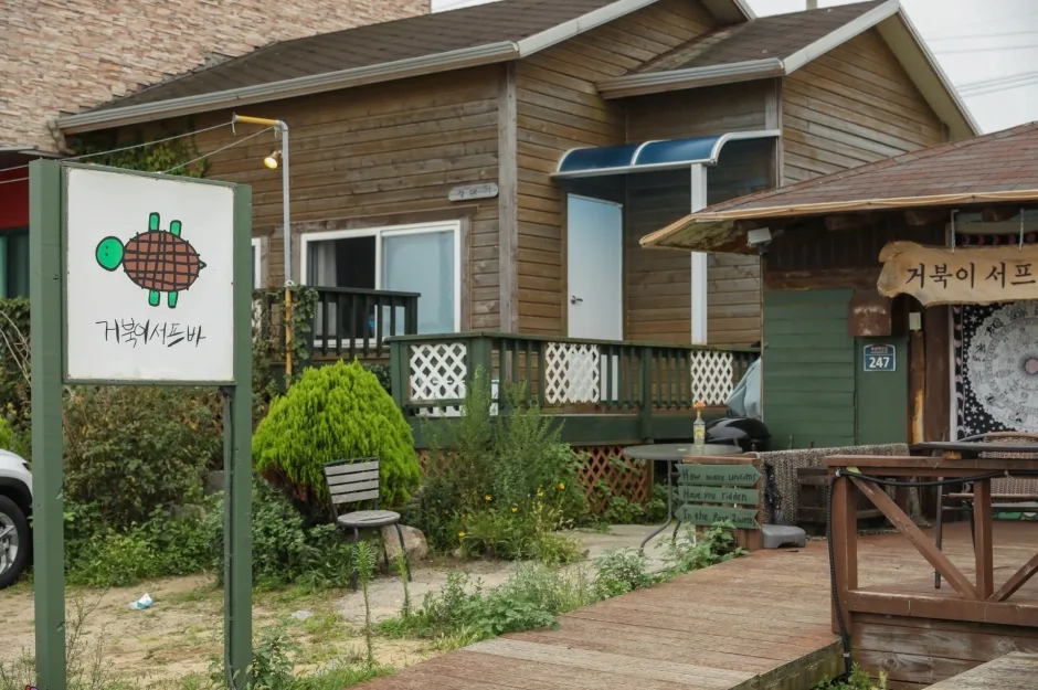 Photo: Korea Tourism Organization photo gallery (247 Hwasang Beach-gil, Hyeonnam-myeon, Yangyang-gun, Gangwon State) · KOGL
Some practical notes if you’re coming to this course for the first time from abroad.
- Course name (romanized): Haeparang-gil Course 42 (Yangyang, Gangwon Province). The local area is Yangyang, and the nearest cities are Sokcho and Gangneung.
- Map apps: Google Maps’ walking and running directions can be unreliable in Korea. Install KakaoMap or Naver Map to check pedestrian routes and bus timetables. It also helps to bookmark the trailhead, restrooms, and convenience stores ahead of time.
- Public transport and transit cards: A prepaid transit card like T-money makes bus travel much easier. You can buy and top up cards at convenience stores. Use the relevant apps for intercity bus and KTX bookings, and Naver Map or KakaoMap for real-time bus info.
- Water and convenience stores: The main convenience store chains are GS25, CU, 7-Eleven, and emart24, where you’ll find water, sports drinks, snacks, and basic supplies. Shops can be few and far between along the coastal stretches, so buy plenty of water before you set off and carry it with you.
- Safety and emergencies: In an emergency, call 119 (rescue and ambulance); for crime, call 112. Since the course runs along open coastline, check weather and wave warnings in advance, and if you’re running at night, stick to well-lit sections.
📍 Haeparang Trail Course 42: A Coastal Running Route in YangyangLocation
Contact: bumseok.view [at] gmail [dot] com

Comments