Namparang Trail Section 28: A Coastal Running Route in Tongyeong
Running · Published 8/22/2026 ·
러닝 코스 트랙 (공공데이터: 한국관광공사 두루누비) · 지도 © OpenStreetMap ⤓ GPX 다운로드
Key Takeaways
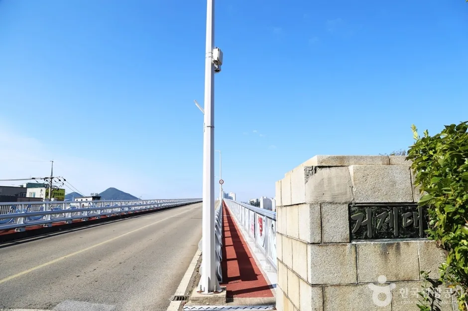 Photo: Korea Tourism Organization photo gallery (26 Deokho-haean-gil, Sadeung-myeon, Geoje-si, Gyeongsangnam-do) · KOGL
-
This is a 14.8 km one-way coastal running route along the shoreline of Tongyeong, Gyeongsangnam-do — not a trail run up a mountain, but an essentially flat course stitched together from coastal roads, village lanes, and sidewalks.
-
With gentle rolling terrain, a max elevation of 142 m, and cumulative gain of just 6.9 m/km, it’s better suited to long steady-state runs (LSD) at a consistent pace than to hill training.
-
The Sinchon, Gyeonyu, and Bundeok village bus stops sit near the trailhead, so you can get there without a car.
-
The scenery keeps shifting — sea, islands, fishing villages — which makes it a great way to fill a day of travel with a run.
-
Since it’s a point-to-point route, sorting out your transportation back from the finish ahead of time is the single most important part of the plan.
-
Accessibility (public transit): ★★★★☆ (city buses run near the trailhead)
-
Course difficulty: ★★★☆☆ (the distance demands smart pacing)
-
Surface (flatness): ★★★★☆ (gentle rollers, no steep climbs)
-
Spring running: ★★★★★ (soft breezes and clear views)
-
Summer running: ★★☆☆☆ (little shade — heat and dehydration are real concerns)
-
Fall running: ★★★★★ (temperature and humidity both stable)
-
Winter running: ★★★☆☆ (sea winds drop the feels-like temperature)
Source: GPX measurements from Korea Tourism Organization’s Durunubi · Seasonal ratings are a rough guide
Overview
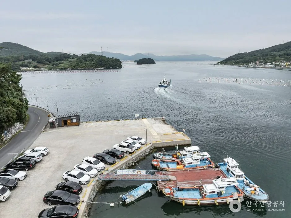 Photo: Korea Tourism Organization Photo Gallery (293-43 Wonpyeong-ri, Yongnam-myeon, Tongyeong-si, Gyeongsangnam-do) · KOGL (Korea Open Government License)
Namparang-gil Course 28 is one of those routes where the South Sea stays with you the whole way—sometimes on your right, sometimes on your left—and the views just keep opening up. Tongyeong’s geography is a tight interlocking of peninsulas and islands, so instead of one big sweeping ocean panorama, the scenery unfolds bay by bay: round a headland, and a new inlet appears. For a runner, that means boredom rarely sets in, and it’s easy to visually gauge how much distance is left—which makes pacing a lot simpler.
Here are a few ways you might use this course:
- Weekend long runs and marathon LSD training: Long stretches of coastline with few traffic lights make it well suited to low-heart-rate distance work. If you’re training for a half marathon or longer, it’s great real-world practice.
- Destination running (running tourism): You could easily spend a morning of your Tongyeong trip running the course, then head into town for sightseeing afterward.
- Morning jogs and partial-section runs: You don’t have to run the whole thing—breaking off a 4–6 km segment between bus stops is plenty satisfying on its own.
- Walk-run for beginners: With no steep climbs anywhere on the route, alternating walking and running makes for a very approachable outing.
Course Details
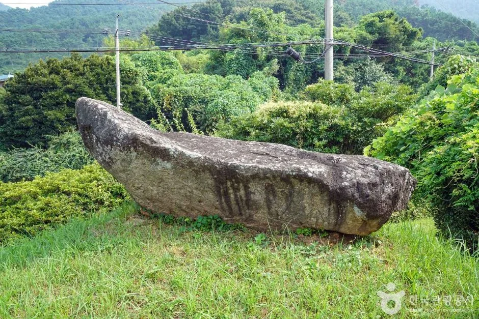 Photo: Korea Tourism Organization photo gallery (Cheonggok-ri, Sadeung-myeon, Geoje-si, Gyeongsangnam-do) · KOGL (Korea Open Government License)
This section strings together a series of coastal villages in Tongyeong. You start from Sinchon Village near the trailhead, then follow the paths that link one village to the next, heading toward Gyeonyu Village and Bundeok Village. For the exact start and end points, and the locations of the ribbon and arrow markers, I’d recommend downloading the track from the Durunubi app or a map app before you head out.
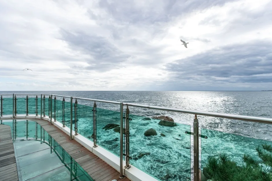
The surface is a mix of three types. First, there are stretches of sidewalk or road shoulder along the coastal road — asphalt, so you get good rebound and it’s easy to pick up the pace. Second, there are concrete-paved village lanes cutting through the fishing villages; these are narrow and a bit rough underfoot, so it’s safer to keep an eye on where you’re stepping. Third, there are short sections of breakwater and boardwalk decking, which can get slippery after rain or on mornings when the dew hasn’t dried yet.
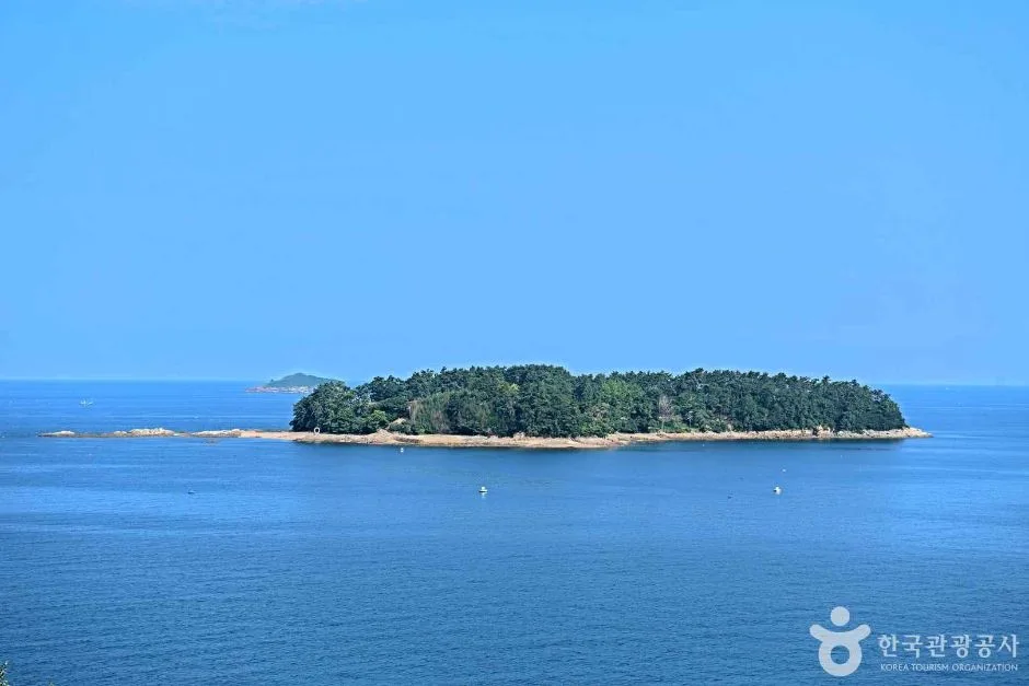
The scenery repeats a pleasant loop: calm water dotted with buoys from oyster and sea squirt farms, fishing boats at anchor, breakwaters and lighthouses, and low ridgelines rising behind it all. With a maximum elevation of just 142m, you’ll hit short ups and downs here and there, but nothing steep enough to force you to a walk.
Getting There (Access & Transportation)
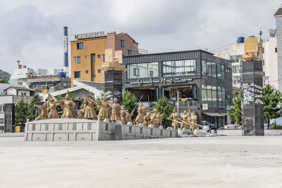 Photo: Korea Tourism Organization Photo Gallery (267 Jido Haean-ro, Yongnam-myeon, Tongyeong-si, Gyeongsangnam-do) · KOGL (Korea Open Government License)
Tongyeong has no train station. So your basic options are an express or intercity bus, or a KTX ride plus a transfer.
| Departing from | Route | Notes |
|---|---|---|
| Seoul | Seoul Nambu Terminal / Central City → Tongyeong Bus Terminal | Express bus takes around 4 hours; booking ahead recommended |
| Busan | Busan Seobu (Sasang) Terminal → Tongyeong | Relatively frequent departures |
| Via KTX | Get off at Jinju Station → transfer to an intercity or direct bus to Tongyeong | Check transfer wait times |
Once you arrive at Tongyeong Bus Terminal, you’ll take a local city bus toward the trailhead. Stops worth noting near the trailhead include Sinchon-maeul, Gyeonyu-maeul, and Bundeok-maeul. Tongyeong has no subway, so city buses are the only public transit option. Rural routes can run at long intervals, so before you set out, be sure to check the actual timetables on Kakao Map or Naver Map — and check the last bus back from the endpoint while you’re at it.
If you’re driving, you’ll be using public parking near the trailhead village or an open lot at the village entrance. Keep in mind this is a one-way course, though, so you’ll need to make your way back to wherever you left the car. Fishing villages are both living and working spaces — take care not to block areas where fishing gear and seafood are stored, narrow alleys, or paths residents use to get around.
Running Pace and Section Strategy
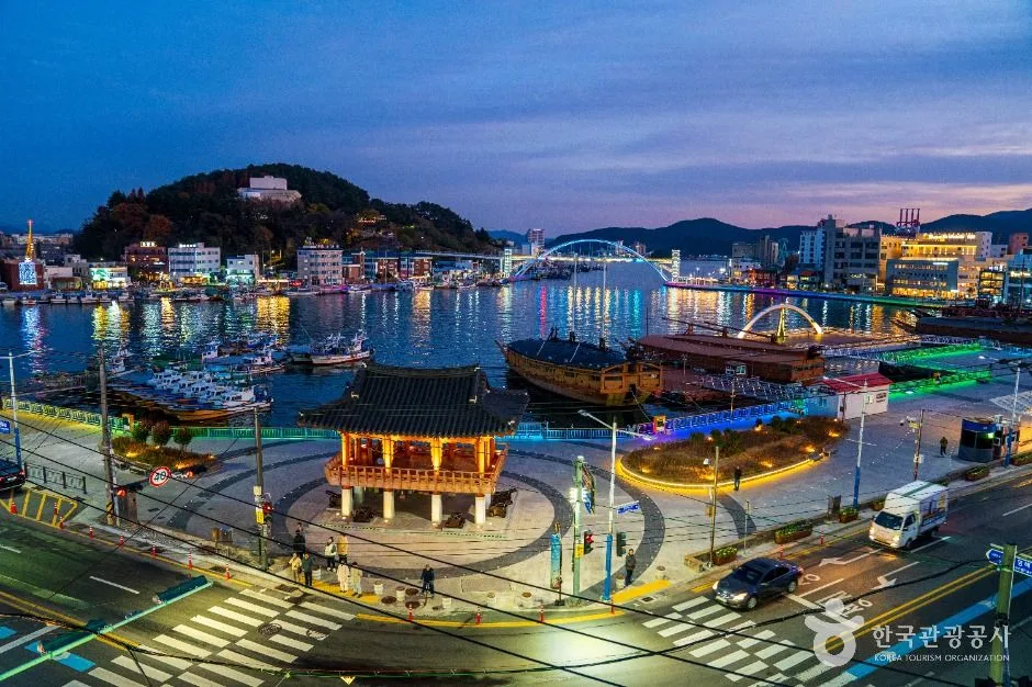 Photo: Korea Tourism Organization photo gallery (Jungang-dong, Tongyeong-si, Gyeongsangnam-do) · Kogl (Korea Open Government License)
At 14.8km one way, this route is a step up for runners used to 10K, but a comfortable steady-state distance if you’ve done a half marathon. Here’s how I’d frame the target times:
| Level | Target Pace | Estimated Finish Time |
|---|---|---|
| Beginner | 7:30–8:00/km | About 1h 51m–1h 58m |
| Intermediate | 6:30/km | About 1h 36m |
| Advanced | 5:30/km | About 1h 21m |
| Run-walk (mixed) | 9:00–10:00/km | About 2h 13m–2h 28m |
For pacing strategy, I’d recommend breaking the run into three chunks.
- 0–4km (warm-up): Start 20–30 seconds slower than your target pace. The early village section has changing road surfaces and limited sightlines, so it’s not the place to push the speed.
- 4–10km (main section): Settle into your target pace once you’re on the coastal road. This is the longest stretch and the rhythm stabilizes here, so lock in your pace using heart rate and breathing as your guide.
- 10–14.8km (finish): Accumulated fatigue and short rollers combine to make this the section where pace tends to fall apart. If you’ve got something left for the last 2km, pick it up a bit — but not overdoing it is the safer play.
For hydration, small sips every 3–4km works best. If you wait until you feel thirsty, it’s already too late. If you’re planning to go over 60 minutes, consider electrolytes too.
Since it’s a point-to-point route, the 29.6km out-and-back option is also on the table. That puts you past half-marathon distance into near-30K training territory, so even at 6:30/km you’re looking at about 3 hours 12 minutes. If you go for the round trip, make sure to refuel with water and some simple carbs at the turnaround, and keep in mind that the wind direction flips on the way back, which makes the second half feel harder — so run the first half conservatively. And if your return transportation is uncertain, the out-and-back might actually be the safer choice.
Water, Convenience Stores, and Restrooms
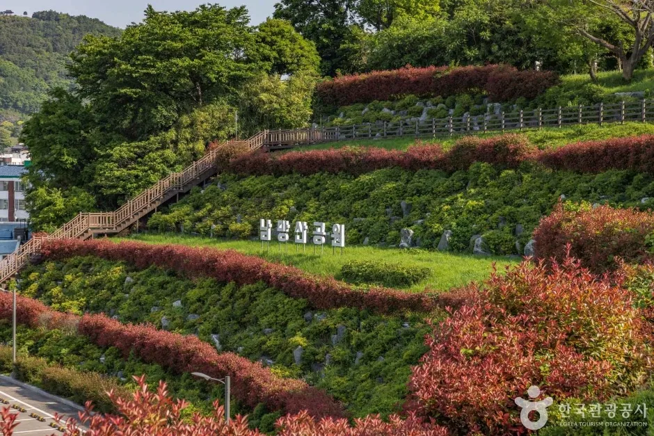 Photo: Korea Tourism Organization photo gallery (29 Nammang-gongwon-gil, Tongyeong-si, Gyeongsangnam-do) · KOGL (Korea Open Government License)
Unlike running in the city, the stretches connecting these coastal villages don’t have amenities spread out evenly. Don’t count on anything being at any particular spot — plan around these principles instead.
- Top off before you start: Carry at least 500ml of water from the get-go. In summer, I’d recommend two soft flasks or a running vest.
- Expect convenience stores in village centers and at major road junctions: You may find a GS25, CU, or 7-Eleven depending on the size of the village. Marking the convenience stores along your route in a map app before you head out makes your hydration plan a whole lot more reliable.
- For restrooms, go by where the public facilities are: Public restrooms near fishing ports and breakwaters, village community centers, and small parks are your candidates. That said, upkeep and opening hours are hit-or-miss, so your safest bet is to take care of business near the terminal or a bus stop right before you set off.
- Bring cash and a transit card: Card payments don’t always go smoothly at small shops, so a bit of cash comes in handy.
Safety & Precautions
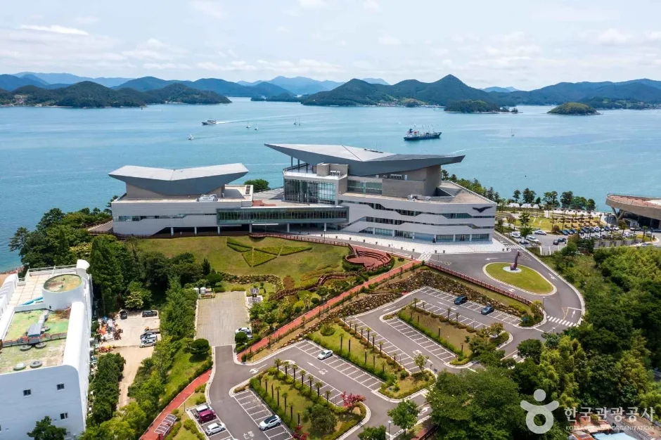 Photo: Korea Tourism Organization photo gallery (33 Keunbalgae 1-gil, Donam-dong, Tongyeong-si, Gyeongsangnam-do · Kogl (Korea Open Government License))
- Shared road and mixed pedestrian sections: The sidewalk may disappear at certain points along the coastal road. When it does, run on the left side facing oncoming traffic, and always slow down on curves.
- Visibility at night: The stretches between villages have few streetlights, so it gets dark fast once the sun goes down. I wouldn’t recommend running after sunset, but if you have no choice, wear a headlamp and reflective clothing.
- Coastal wind: Headwinds can pick up suddenly as you round a headland. Adjust by perceived effort, not pace.
- Heat and dehydration: There’s little shade, so your body temperature climbs quickly on summer afternoons. Start early in the morning, and stop immediately if you feel dizzy, get chills, or notice you’ve stopped sweating.
- Slippery surfaces: Wooden decks, breakwater concrete, village lanes with fishing gear laid out, and pavement wet with seaweed or fishy runoff are all extremely slick. Shorten your stride and land flat-footed — it’s the safer way.
- Respect the work zones: Forklifts, trucks, and gear-loading operations are going on at the fishing harbors. Stay out of their way.
- Emergency contacts: Dial 119 for fire and medical emergencies, 112 for police. The tourist interpretation hotline is 1330. Make sure your phone is well charged, and if you’re running alone, share your route and expected finish time with family or a friend.
Season, Weather, and What to Wear
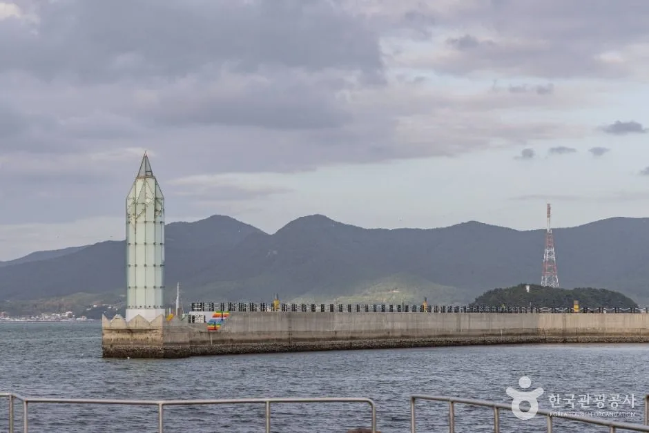 Photo: Korea Tourism Organization photo gallery (269-38 Donam-ro, Tongyeong-si, Gyeongsangnam-do) · KOGL
The best times to go, hands down, are April–May and October–November. Temperature and humidity settle down, the ocean views are crisp, and running here is at its most satisfying. Summer (July–August) is hard to recommend outside of early mornings — there’s just not enough shade. Winter (December–February) is milder than you’d expect thanks to the southern coast, but the sea wind makes it feel dramatically colder than the thermometer says. Ice is rare, but shaded boardwalk sections and spots where water pools can freeze, so watch your step.
| Season | Clothing & Gear |
|---|---|
| Spring/Fall | Short sleeves + thin long-sleeve layer, running shoes, at least 500ml of water, hat, sunscreen |
| Summer | Breathable tank or short sleeves, brimmed hat or visor, sunglasses, sunscreen, 1L+ of water with electrolytes, cooling towel |
| Winter | Windproof jacket (non-negotiable), full-length tights, thin gloves and neck gaiter, hat that covers your ears, outsoles with good grip |
For shoes, you want cushioned road running shoes, not trail shoes. Stash your belongings in a running belt or lightweight vest to keep them from bouncing around — and since this is a point-to-point course, don’t forget your transit card, ID, and phone.
Tips for Foreign Runners
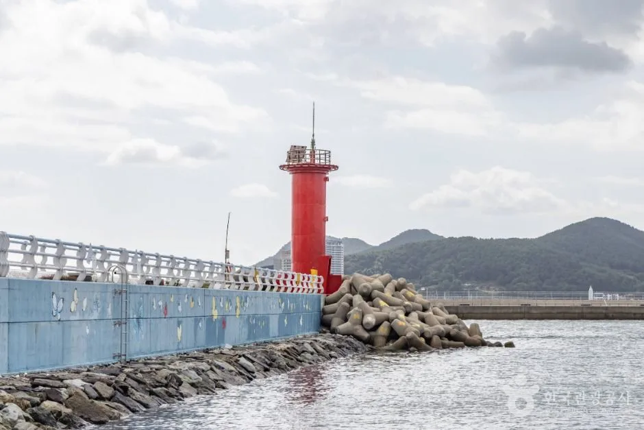 Photo: Korea Tourism Organization photo gallery (Jeongnyang-dong, Tongyeong-si, Gyeongsangnam-do) · KOGL (Korea Open Government License)
Course name: Namparang-gil Course 28 (South Sea Trail Route 28), in Tongyeong-si, Gyeongsangnam-do. Trailhead-area bus stops: Sinchon-maeul · Gyeonyu-maeul · Bundeok-maeul.
- Map apps: In Korea, Google Maps is often unreliable for walking and running routes — sometimes they don’t show up at all. Install KakaoMap or Naver Map instead, and for the course track itself, your best bet is to download the GPX file from the Durunubi app or website and load it onto your smartwatch or running app. It also helps to screenshot the bus stop and village names in Korean so you can match them against signs on the ground.
- Transit apps and cards: Real-time city bus info is available in KakaoMap and Naver Map, and intercity/express bus tickets can be booked through the relevant booking apps or at terminal ticket windows. Pick up a T-money or Cashbee transit card at any convenience store and top it up — it makes riding city buses painless. Foreign-issued credit cards often don’t work on buses, so have a transit card or cash ready.
- Water and convenience stores: Convenience stores like GS25, CU, 7-Eleven, and Emart24 carry bottled water, sports drinks, bananas, and energy bars. That said, this course runs through long stretches of fishing villages where stores are few and far between, so filling up on water before you start is essential.
- Language: Don’t count on English working in the village sections. Download a translation app for offline use ahead of time, and save 1330, Korea’s tourist interpretation hotline (24 hours, with English, Japanese, Chinese, and more).
- One-way course warning: This is a point-to-point course — it doesn’t loop back to where you started. Check the bus timetable for getting back from the endpoint before you set out, and if you’re not sure about it, the safer play is to switch to an out-and-back plan and turn around at the halfway point.
- Etiquette: These fishing villages are where people live and work. Keep the noise down in the early morning, and ask permission before photographing residents or their fishing gear.
📍 Namparang Trail Section 28: A Coastal Running Route in TongyeongLocation
Contact: bumseok.view [at] gmail [dot] com
Comments