Worldcup Bridge West Side to the Han River: Seoul Heart Course
Cycling · Published 5/11/2024 ·
There are basically two ways to get onto the Han River from Sangam-dong. The first is to ride along Bulgwangcheon and merge onto the Han River. That’s how most people go, and honestly I used to do it that way too. But these days, if you take the Worldcup Bridge onto the river instead, you get a much more pleasant ride. No more construction zones.
I’ll explain it using MBC as the starting point.
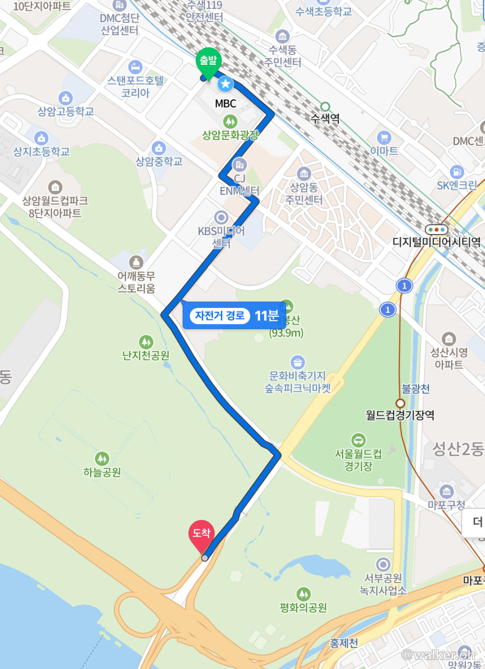
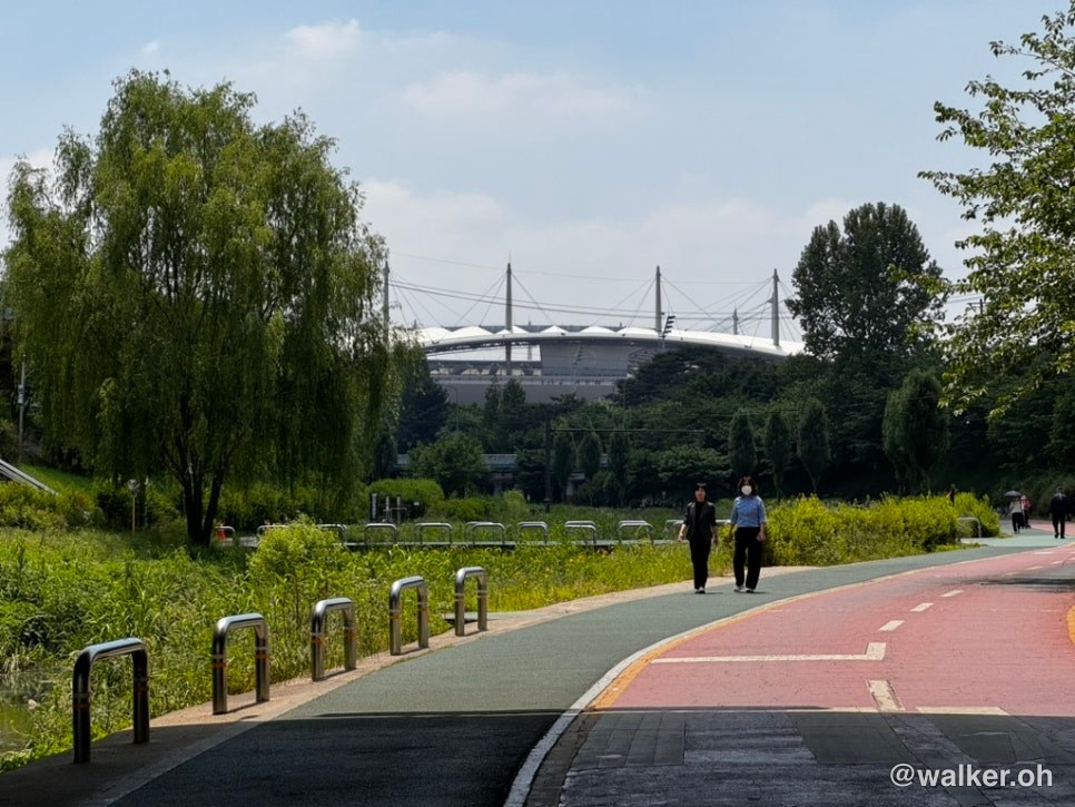
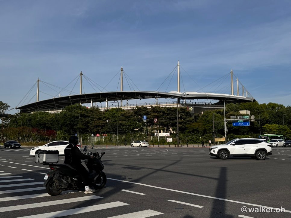
Looking at the World Cup Stadium, turn right and keep heading toward the Worldcup Bridge. You’ll come to a crosswalk with no traffic light. Cross it, and you’ve made it onto the bridge. On the east side of the Worldcup Bridge you have to clear two traffic lights to get across, but on the west side there’s just one signal-free crosswalk at the north end, then one more crosswalk with a light a little further on — after that, at the south end, there are no more crosswalks at all and you can take an elevator straight down to the Han River bike path.
Previous image Next image
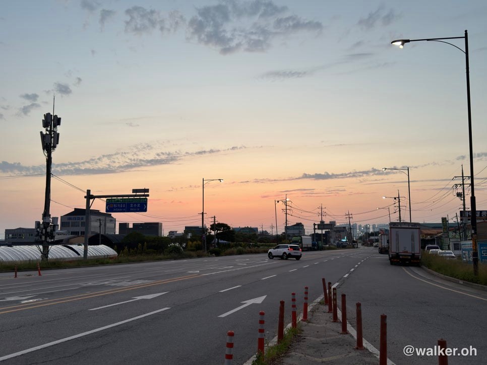
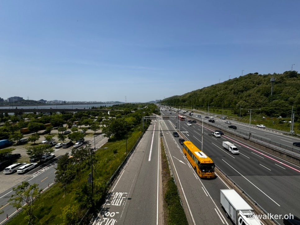
I rode from the Park Chung-hee Library area, following the park road all the way to the World Cup Stadium. Then there’s the view of Gangbyeonbuk-ro heading toward Ilsan, as seen from the Worldcup Bridge. From here you just keep crossing the bridge. On a windy day like yesterday, getting across is no small feat. Always slow down and keep your eyes on the road surface as you cross.
Previous image Next image
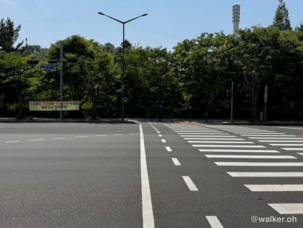
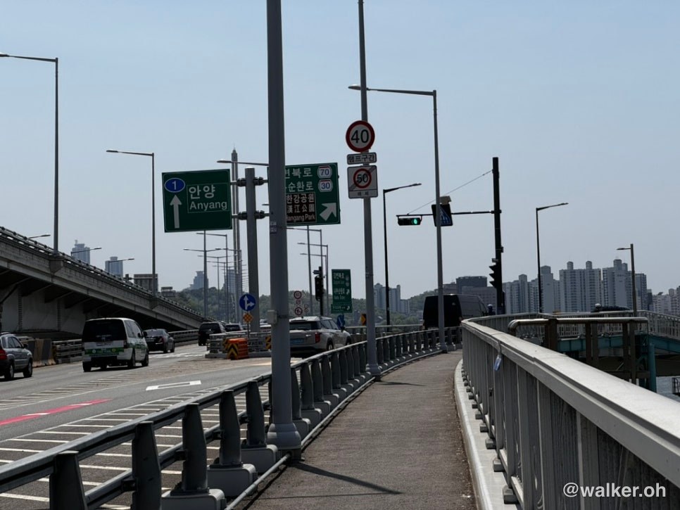
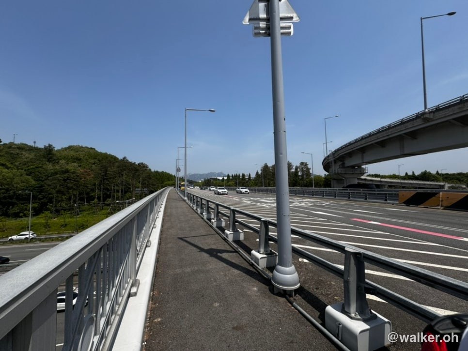
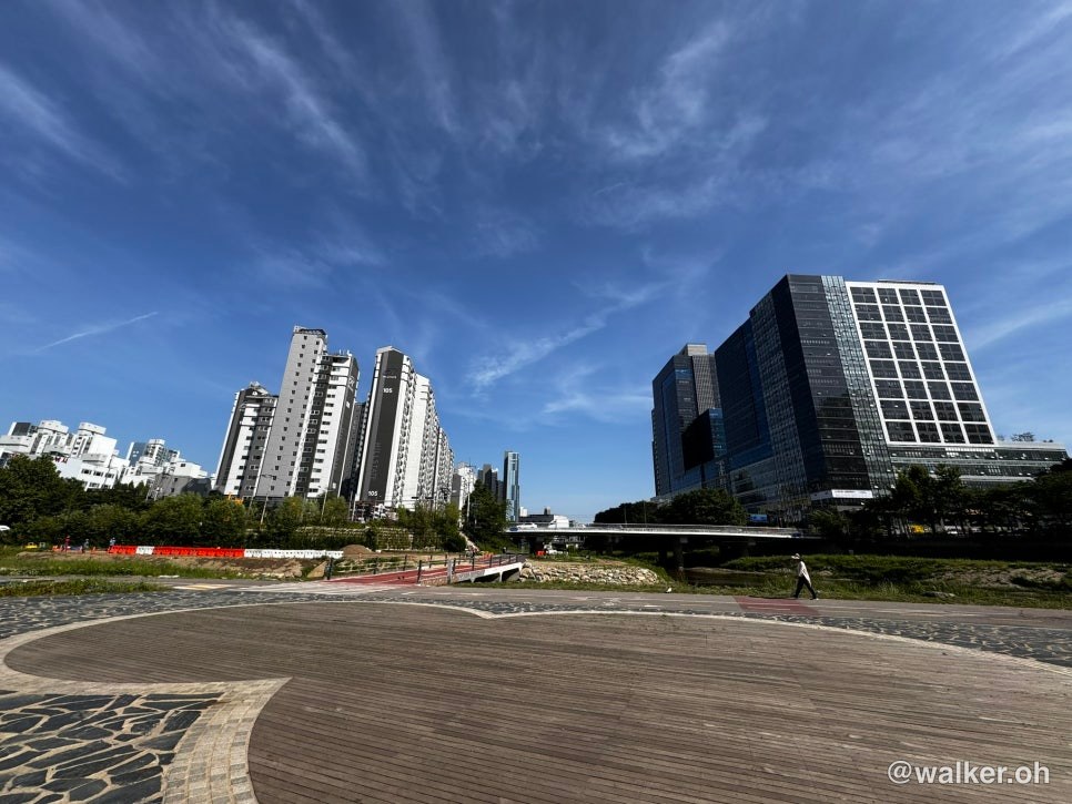
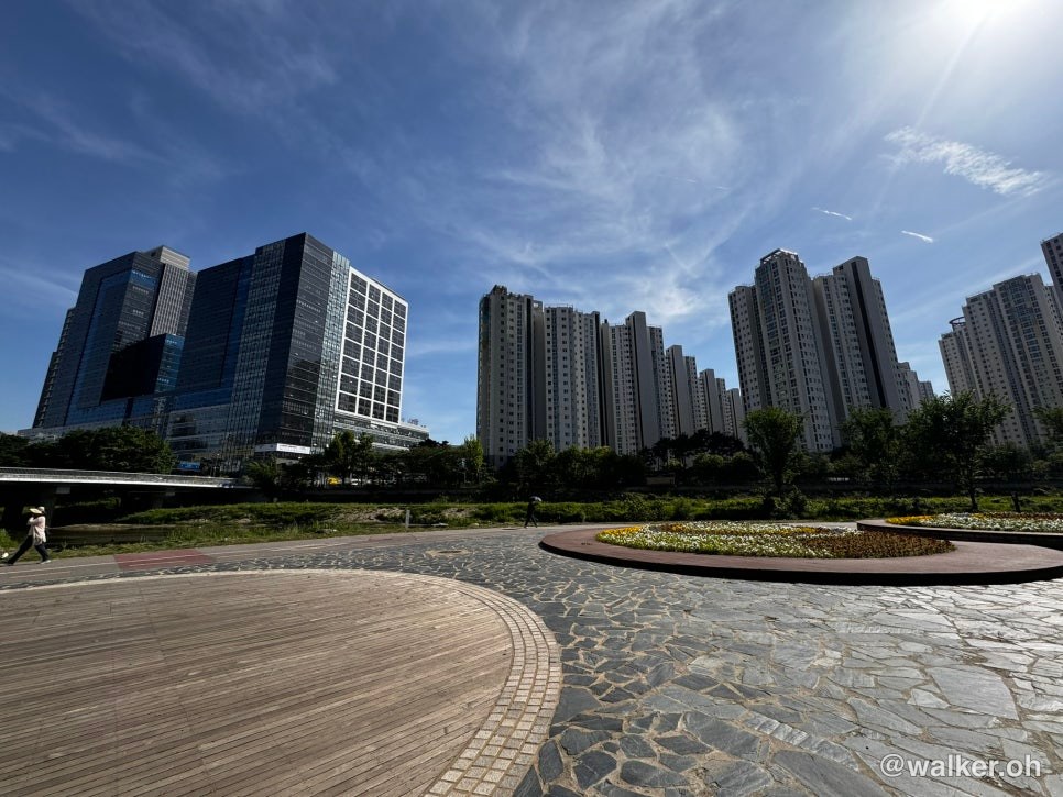
Keep going on the Worldcup Bridge and you’ll reach a sign pointing to Anyang, Gangbyeonbuk-ro (toward Jamsil), and the Naebu Expressway. Press the button there and cross one more crosswalk. After that, there are no more traffic lights all the way to the bike path on the south side of the Han River. The second photo is the view of Sangam-dong from the crosswalk, and the third is the view of Sangam-dong after I’d finished crossing the bridge.
Previous image Next image
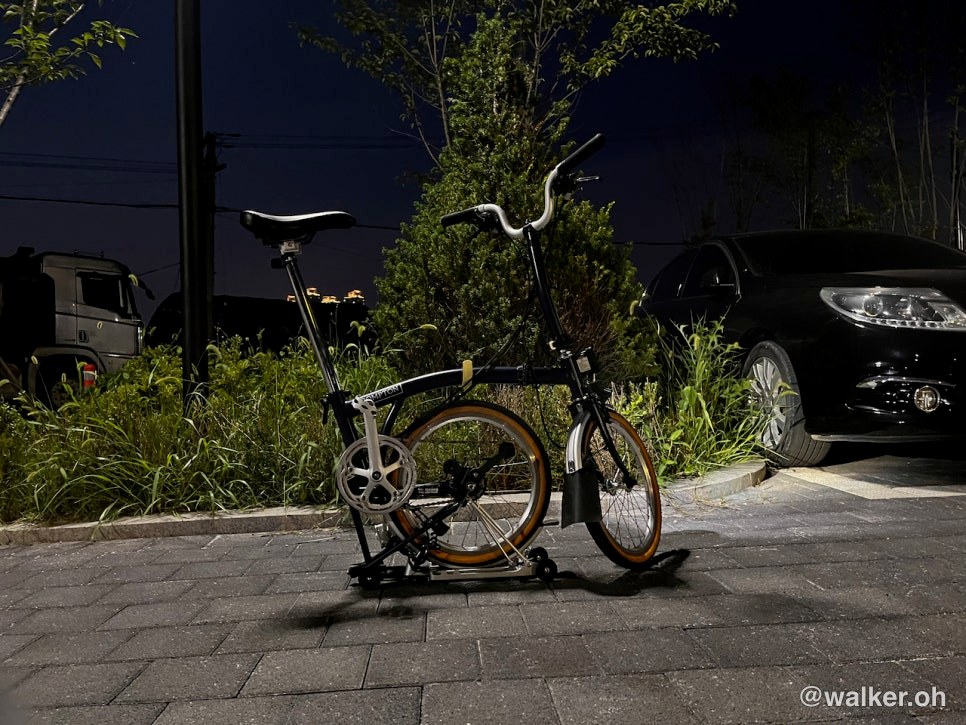
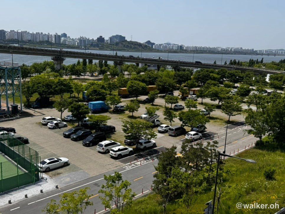
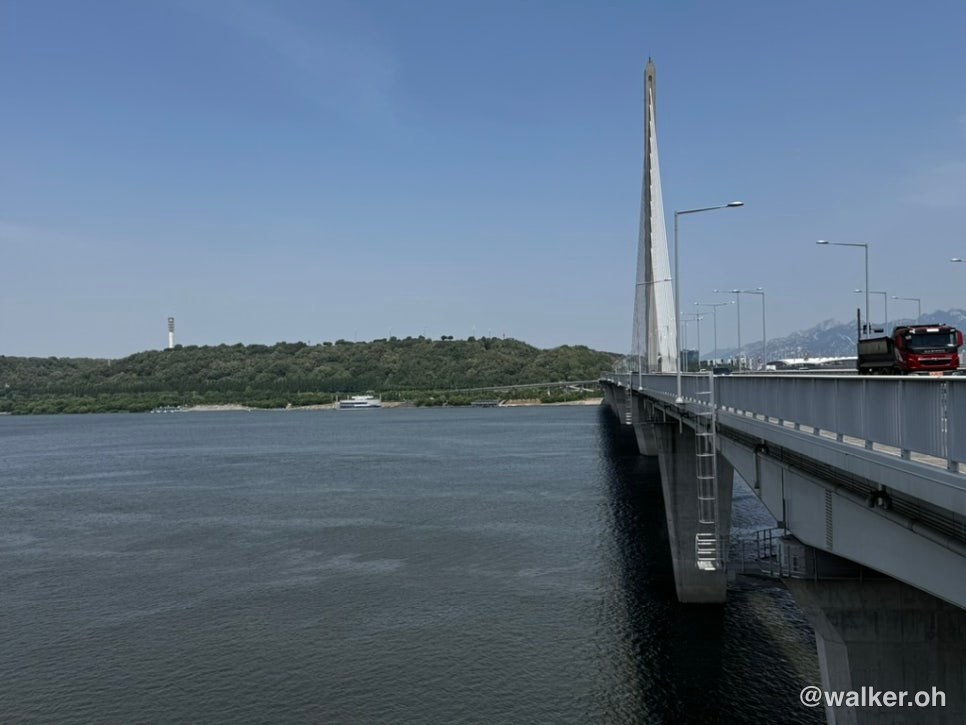
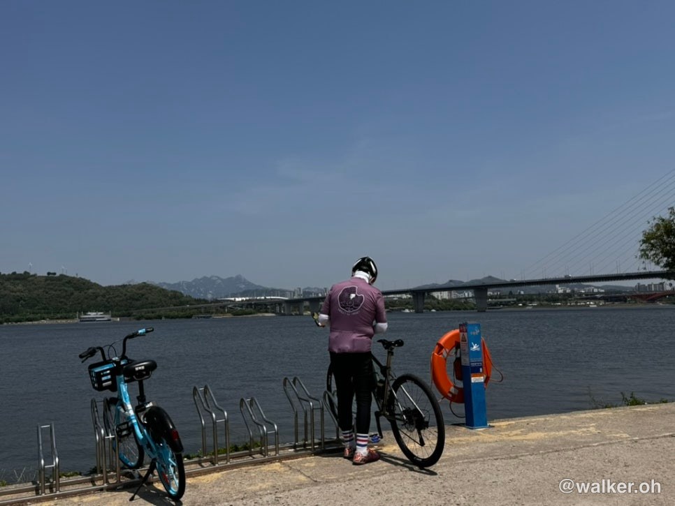
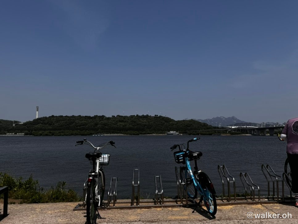
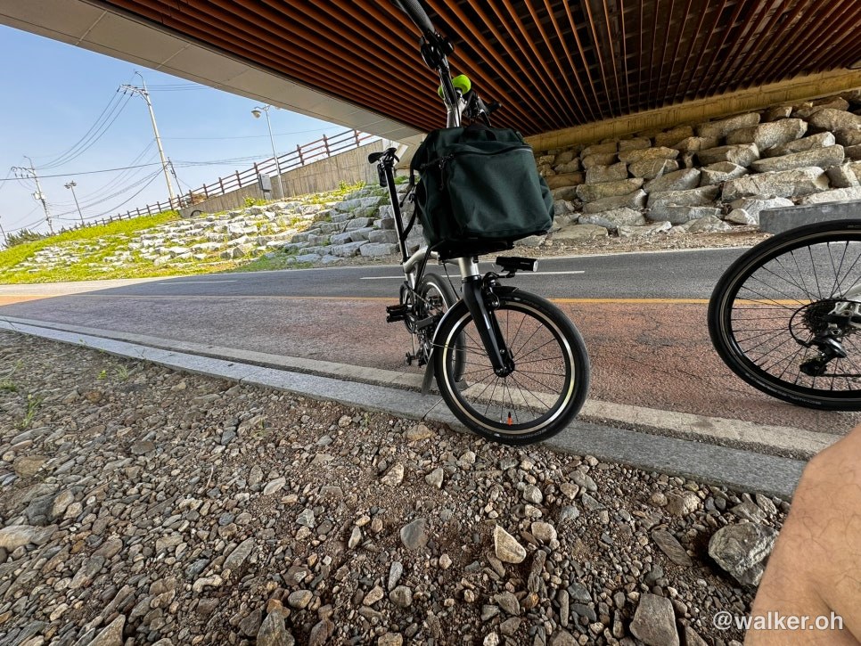
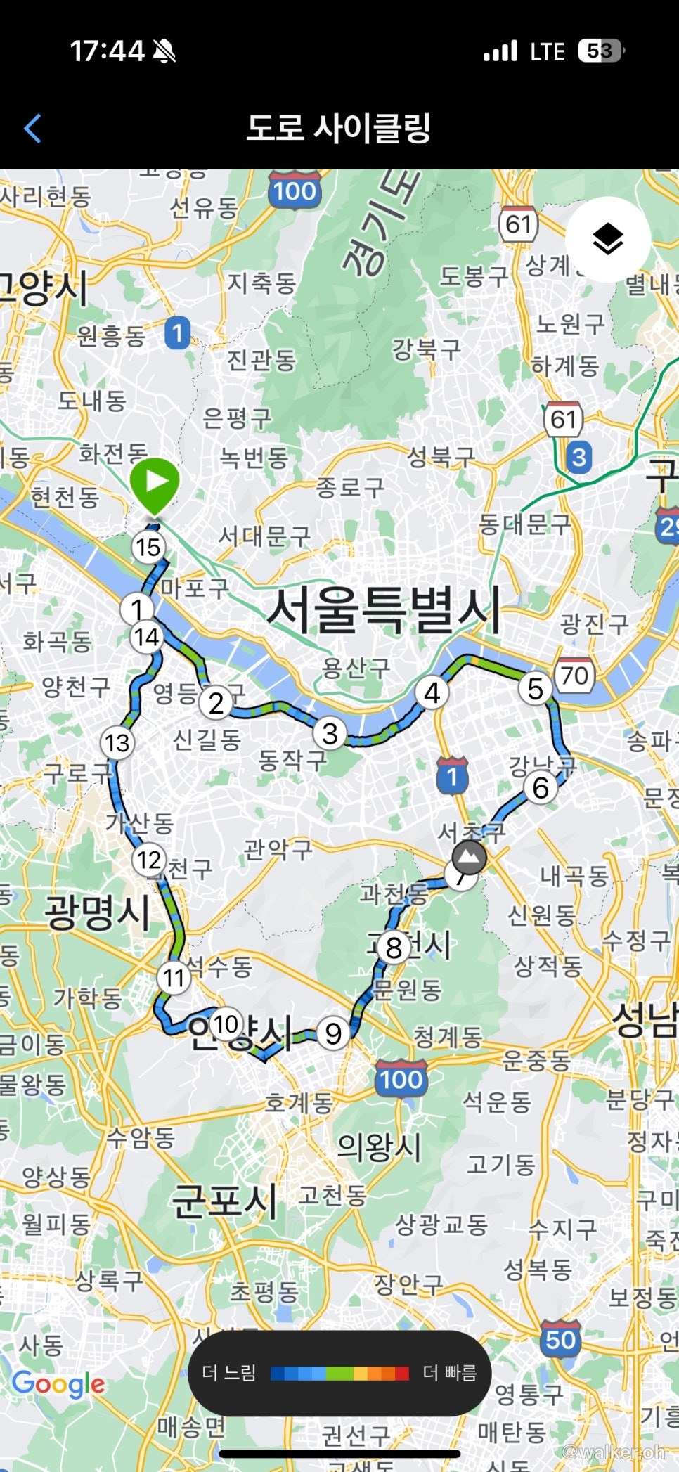
At last I reached the Anyangcheon confluence. Even though I shot this with an iPhone, the weather was so nice that the contrast came out really well. This is the meeting spot a lot of you use. ^^ Today I’m riding the heart course. This will probably be the longest distance I’ve done since buying the Brompton T Line. A quick sip of water and I’m off.
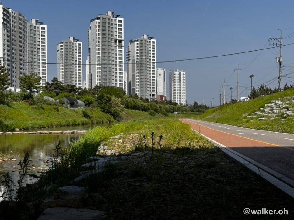
The route follows the bike path and keeps heading east along the Han River. When you hit Yangjaecheon, turn there onto Yangjaecheon and keep going; when the Yangjaecheon bike path ends, you’re in Gwacheon. In Gwacheon you pop out for a bit and ride on regular roads. At the Indeogwon Station intersection you take ordinary neighborhood streets toward Haguicheon, and once you’re on Haguicheon, keep going and you’ll meet the Anyangcheon at Ssanggaeul. From there it’s all Anyangcheon, so if you just keep riding without stopping you’ll loop back to the start at the Anyangcheon confluence.
The stretch from Yangjaecheon to Haguicheon has a lot of GTX and other civil engineering work going on, plus more apartments being built nearby, so it’s not the most pleasant — but it only takes about 30 minutes to get through. Don’t push too hard; mix the sidewalk and the road as needed and you’ll be fine.
Previous image Next image
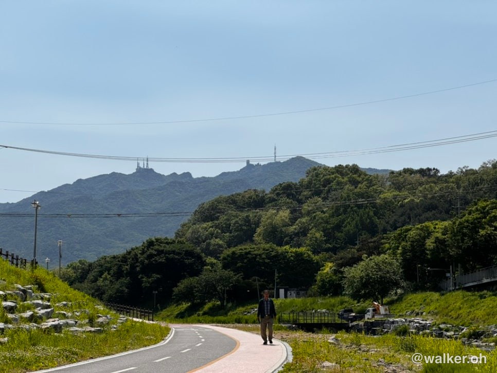
Past Seocho-gu and into Gwacheon-dong. The headwind was so brutal that I stopped to rest for a bit. One of my companions pulled out front and dragged me along in a straight line, which was the only way I could keep moving. Even though he’s in great shape, when the wind got bad his speed sometimes dropped below 20 km/h. If it had been me, I’d have dropped below 15. Gwanaksan is visible in the distance — I’m rounding the base of it now.
Previous image Next image
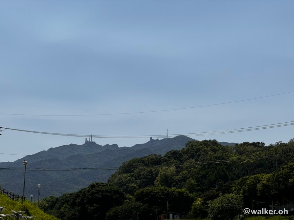
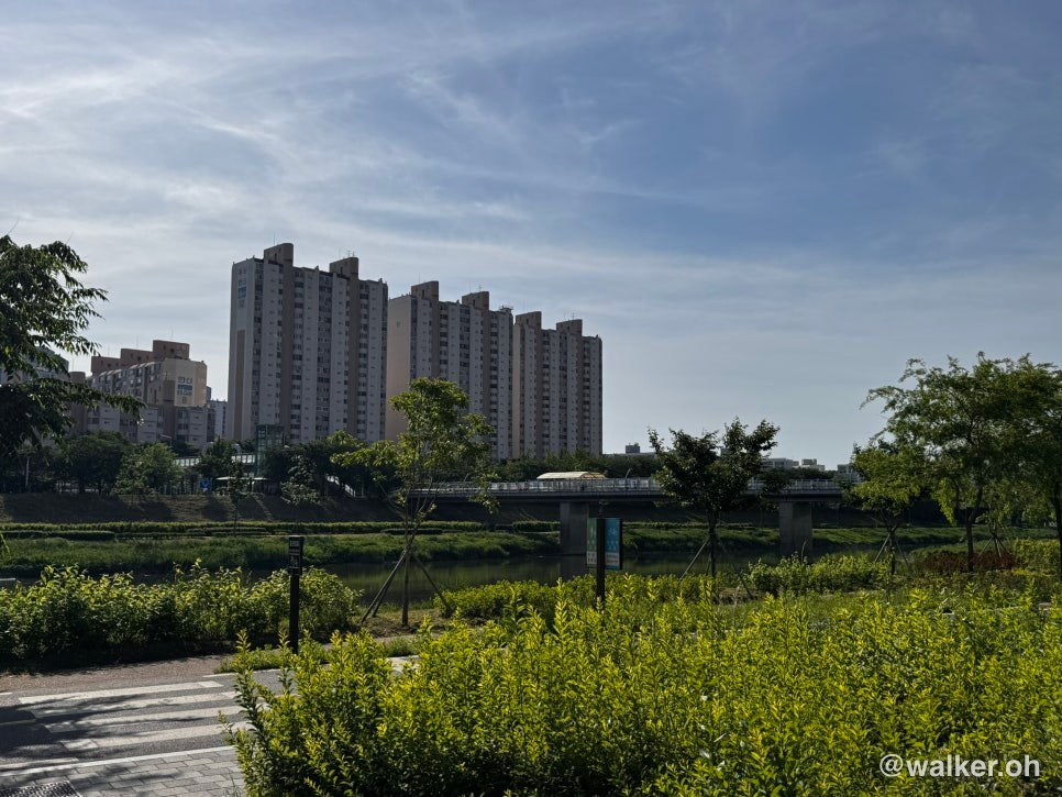
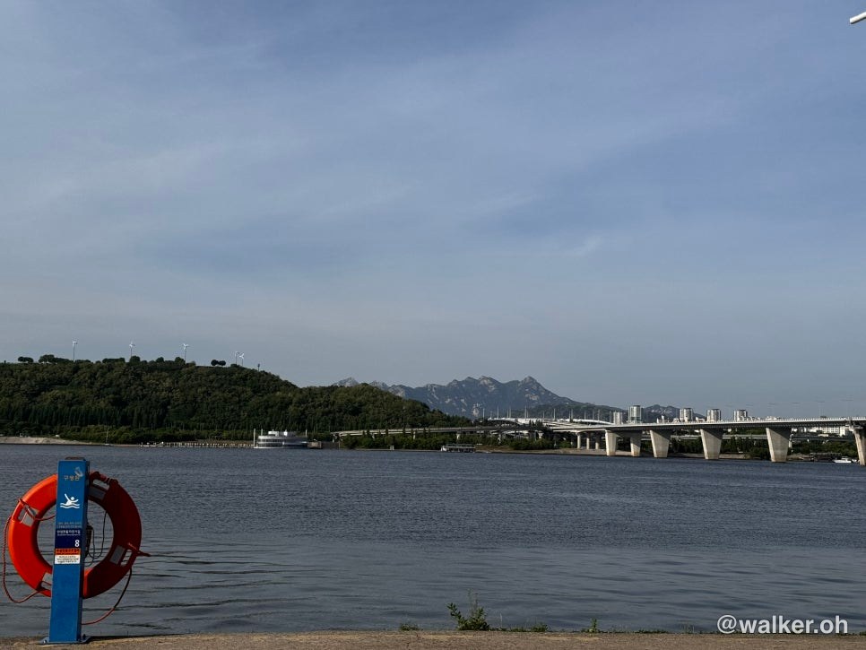
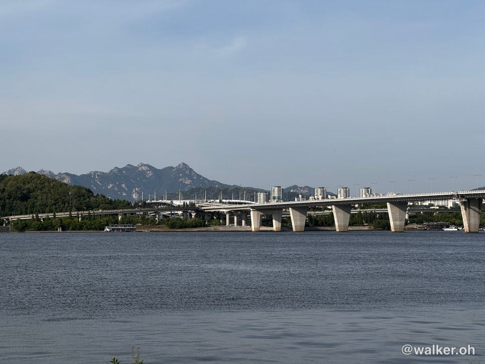
This is the Ssanggaeul rest area, my first time here. It’s where two streams merge into one, and they’ve built a lovely rest spot for cyclists. The wind was strong, but otherwise the weather was gorgeous.
Previous image Next image
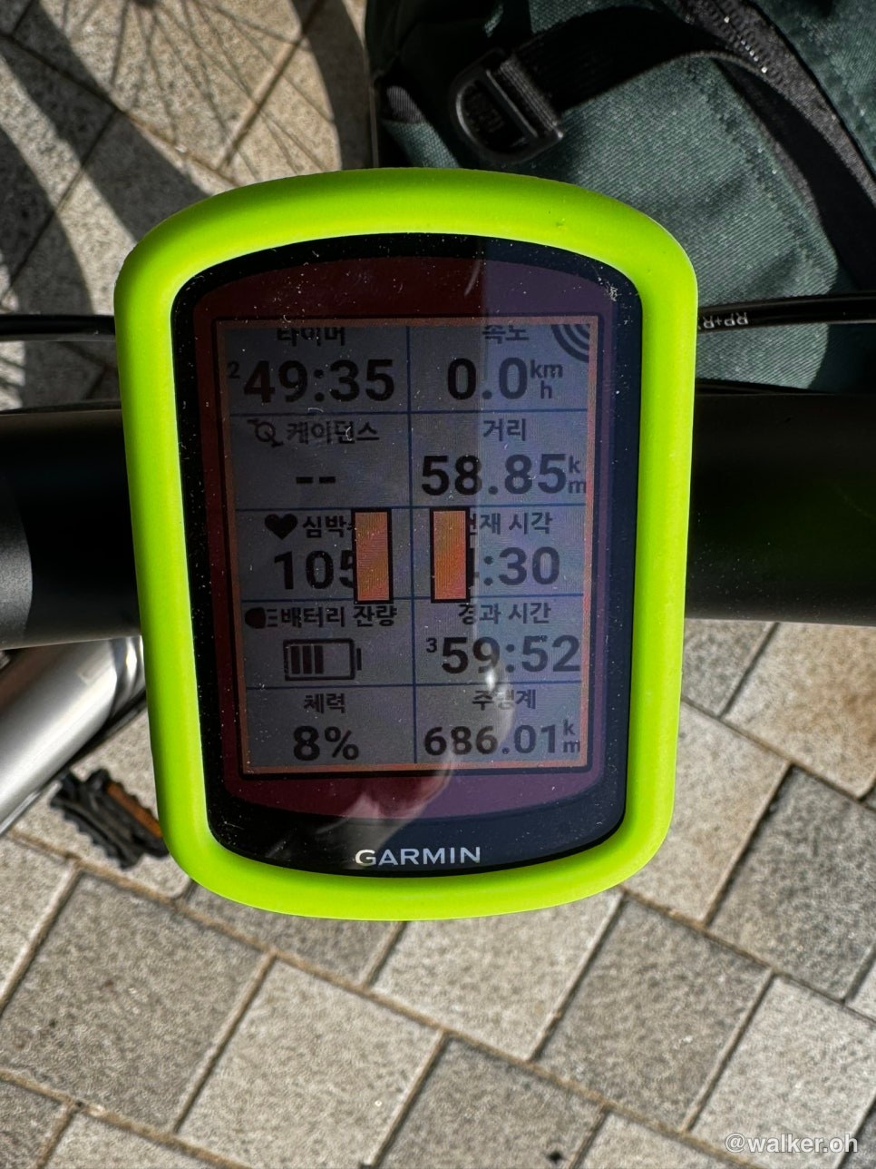
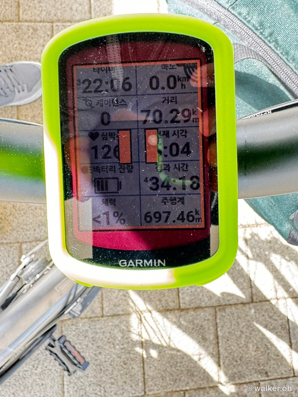
I usually wear a Garmin Enduro 2. The Garmin knows the limits of my stamina — I’ve been wearing it for over a year, after all. I rode hoping I’d have more left in the tank than that displayed body-battery figure. But the number turned out to be more accurate than I expected. When it read under 1% remaining, I was resting 5 minutes for every 30 minutes of riding. You don’t need to put blind faith in a gadget, but having a metric to go by isn’t a bad thing. Taking it easy, I made it back to the Anyangcheon confluence. My Garmin Varia 715 had under 50% battery left, but it held up for 5–6 hours of riding. I didn’t fuss over the mode at all, and it probably saved the dashcam footage too. Since I was riding on regular roads even in daylight, I ran it in flashing mode, set so the light flashes hard when a car approaches.
To get back to Sangam-dong from here you have to cross the Worldcup Bridge, and normally you’d go up by elevator only to come back down the same amount… and then end up climbing again. But now, going up the west side the way I’d started, I don’t lose any of the elevation I gain — in fact it’s a slight downhill back home.
Previous image Next image
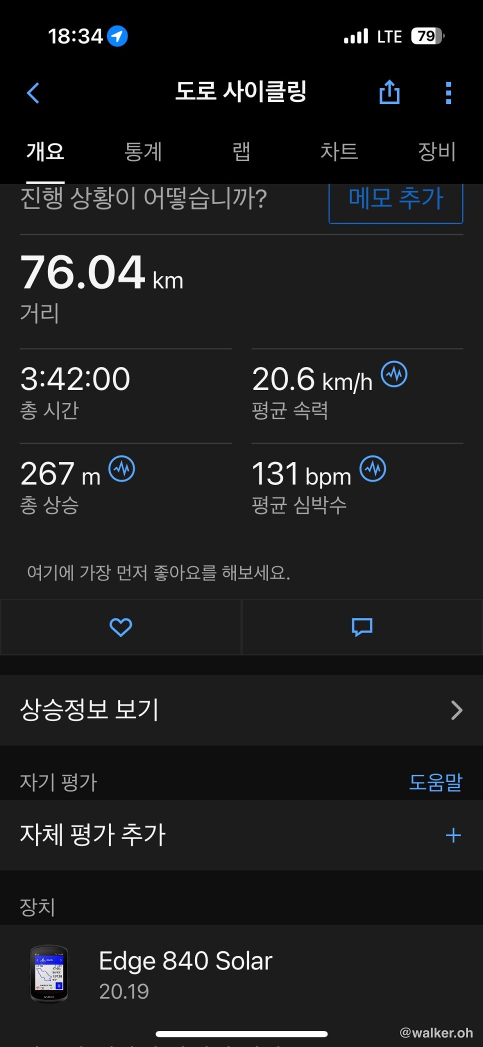
Made it back safe and sound. The whole of Sangam-dong has bike paths that are better laid out than anywhere else in the country. Today’s total distance was 76 km, and on the GPS log it came out in the shape of a heart. So that’s my first time riding the heart course. My backside ached a little, and the Gwacheon section — on regular roads, with quite a bit of construction — was a touch frustrating. But once the work wraps up and the Yangjaecheon and Haguicheon sections get linked by a proper bike path, I think it’ll become a popular mid-distance course that lots of fellow cyclists will ride.
Thank you.
#BromptonTLine #BromptonWorldcupBridgeWestSide #BicycleWorldcupBridge #AnyangcheonConfluence #SeoulHeartCourse #SeoulMidDistanceBikeCourse #Ssanggaeul #HaguicheonCycling #GwacheonCycling #AnyangcheonCycling #GarminVaria715 #GarminEdge830
Contact: bumseok.view [at] gmail [dot] com