Mudeungsan National Park: A Scenic Loop Traverse Hiking Guide
Cycling · Published 12/25/2022 ·
Mudeungsan National Park
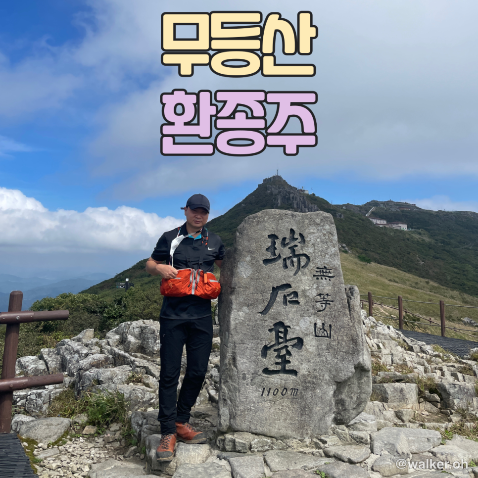
The guardian mountain of Gwangju and South Jeolla, and the central ridge of the Honam mountain range, Mudeungsan was designated Korea’s 21st national park in March 2013. Its total area is 75.425㎢. Standing 1,187m above sea level, the name Mudeungsan carries the meaning of “a mountain so high and vast it has no equal,” or “a mountain so noble it cannot be ranked.”
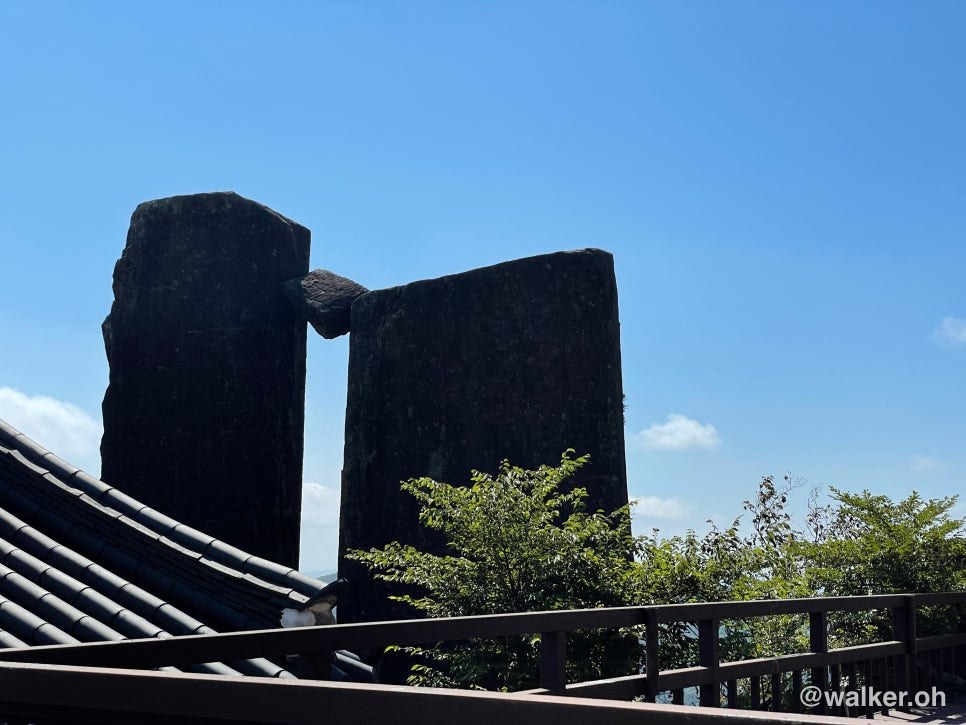
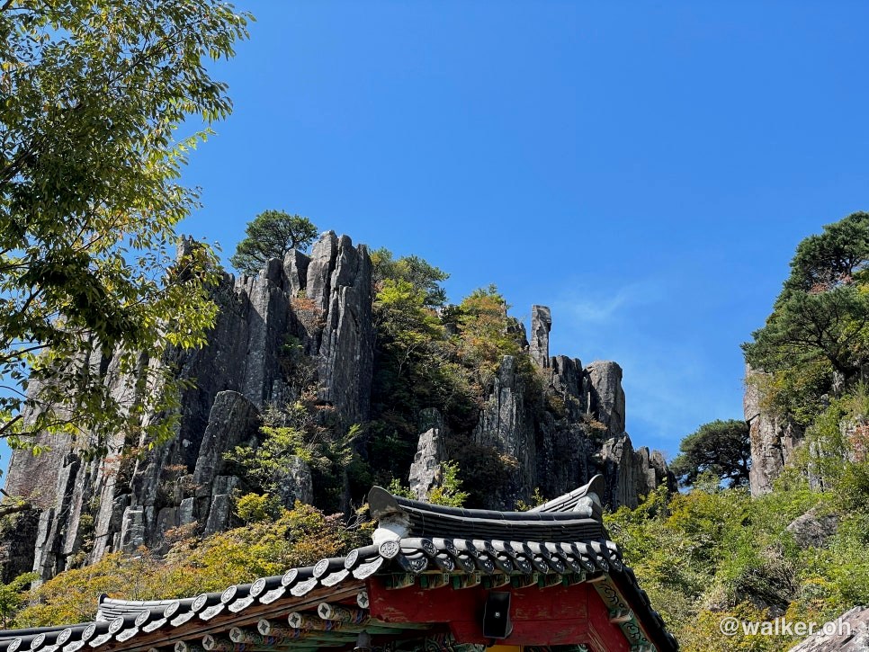
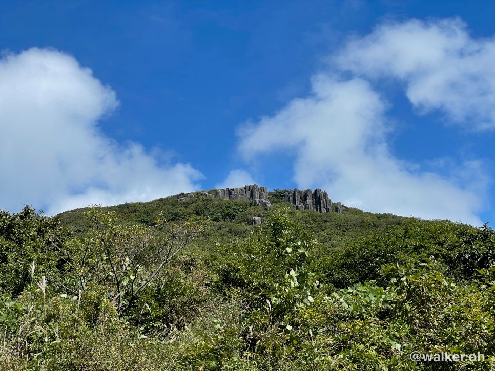
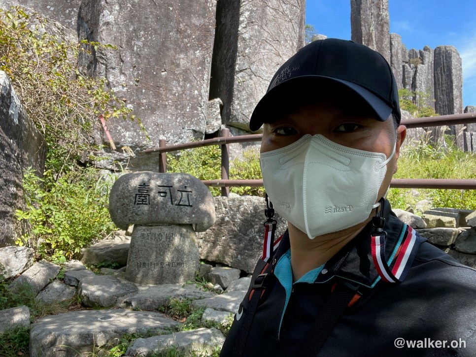
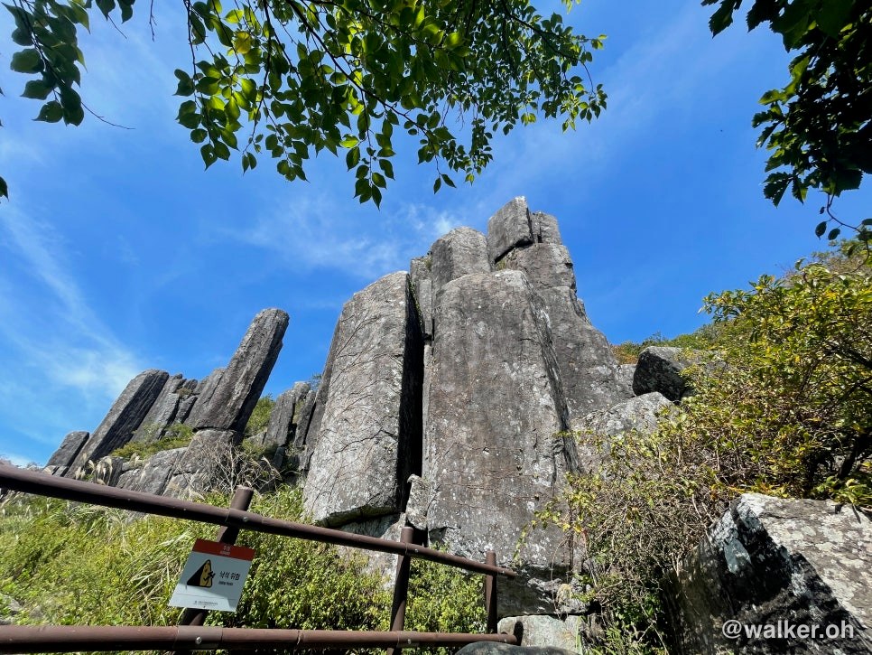
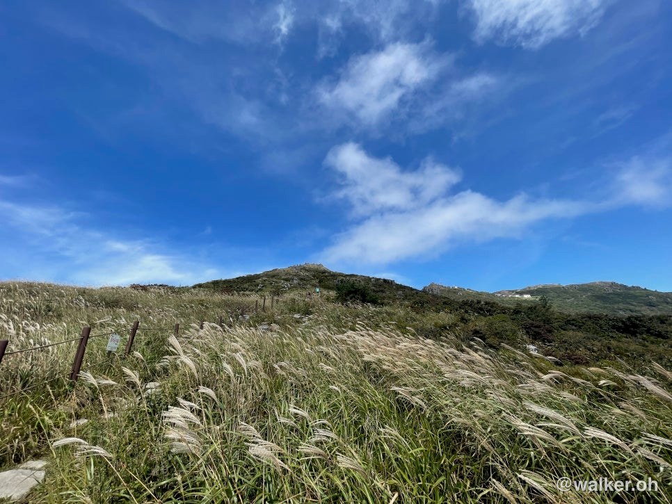
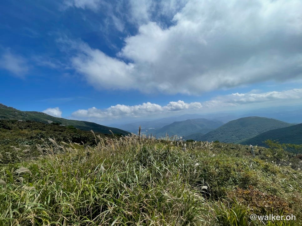
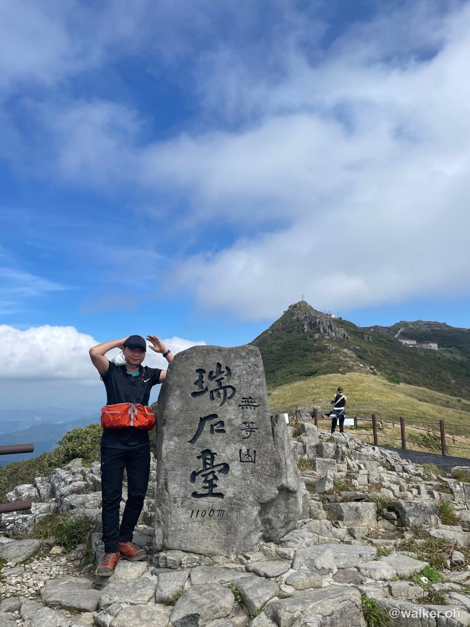
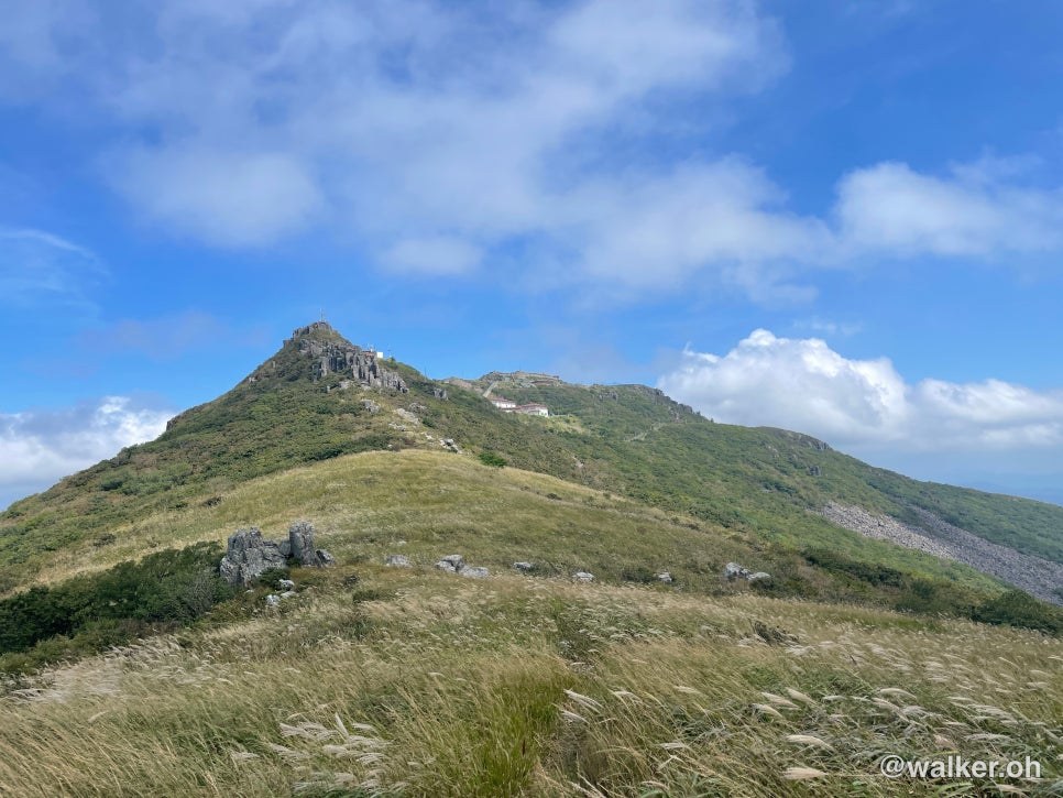
Around its highest peak, Cheonwangbong, vertical columnar rock formations like Seoseokdae, Ipseokdae, and Gwangseokdae soar up as if encircled by a stone wall — a truly spectacular sight. The seasons here are vivid: azaleas in spring, tiger lilies in summer, autumn foliage and silver grass in fall, and snowscapes in winter. The park also boasts a rich ecosystem, home to endangered wildlife such as otters, flying squirrels, and the Cymbidium orchid.
Source: Korea National Park Service
Hiking Course
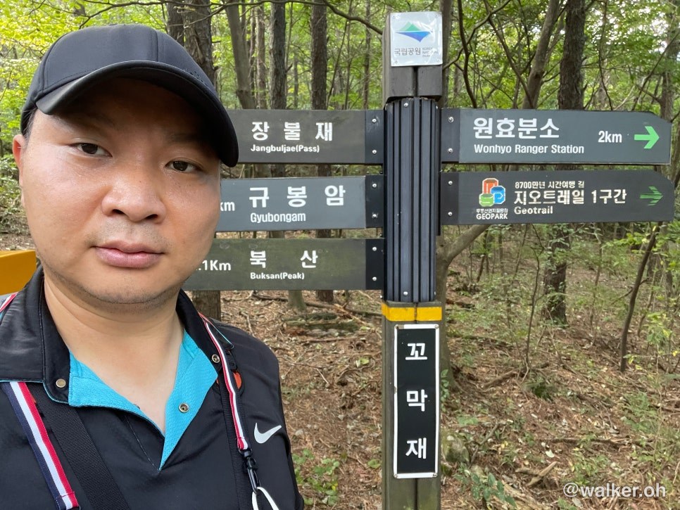
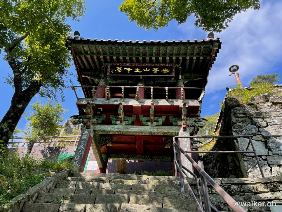
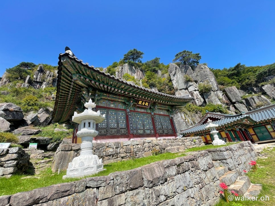
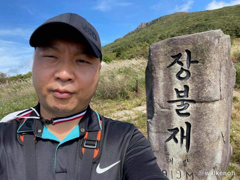
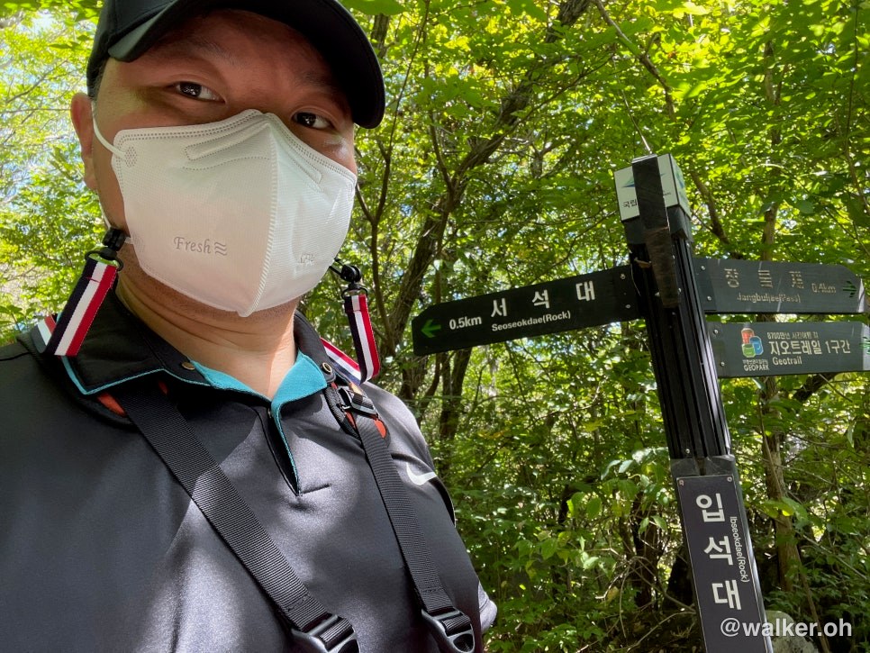
Wonhyo Ranger Station - Kkomakjae - Gyubongam - Jangbuljae - Jungbong - Seoseokdae - Donghwasa Temple Site - Jeungsimsa Temple
About 16km, 6:30 including rest stops, around 1,000m of elevation gain
My take on the hike
Overall, it’s an easygoing mountain.
The trails are genuinely well maintained.
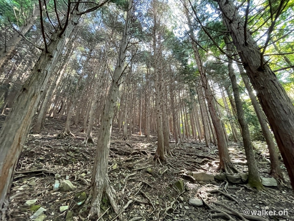
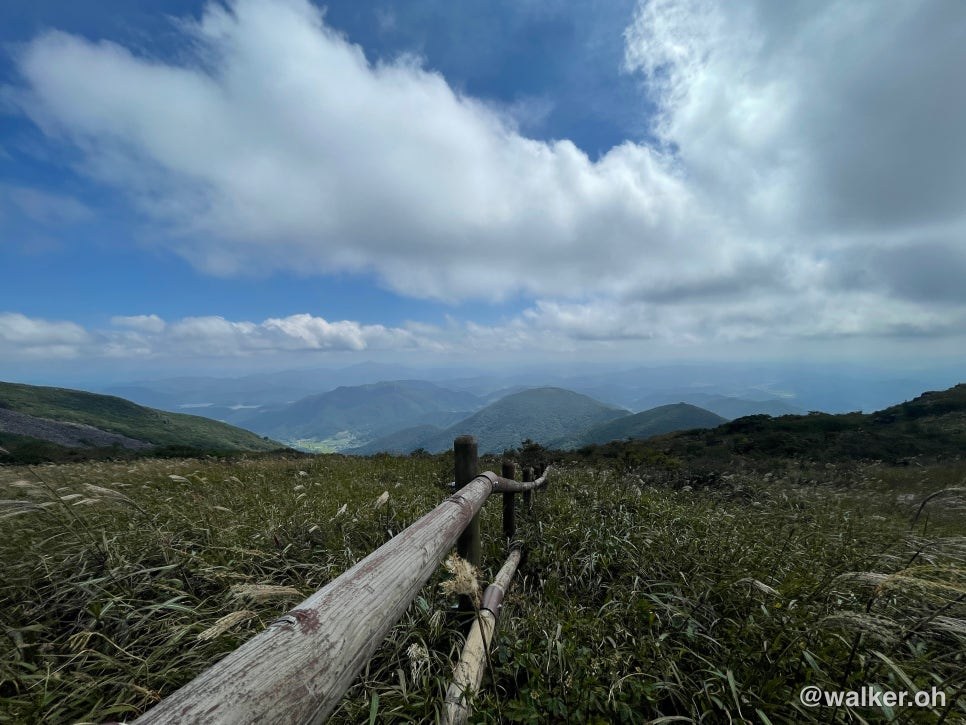
The trails really are that pretty. You can just stroll along comfortably.
Previous image Next image
This is Gyubongam, where you can refill your drinking water along the course.
So unless it’s a drought, you only need to bring a little water. Carry up to one liter and top it off here.
Previous image Next image
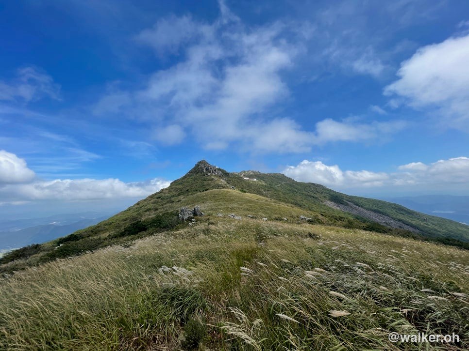
You can see the columnar joints off in the distance. An absolutely stunning view.
Previous image Next image
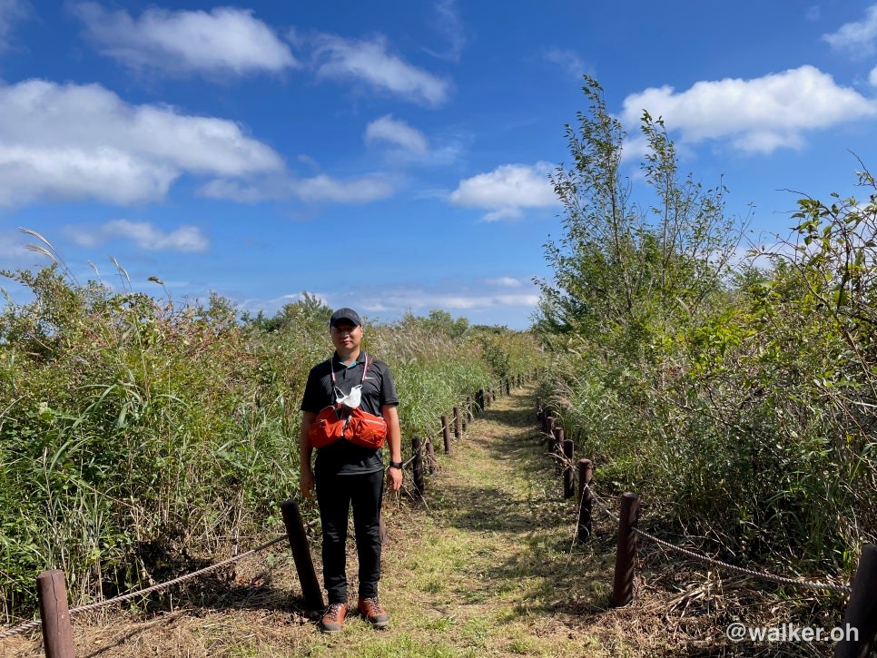
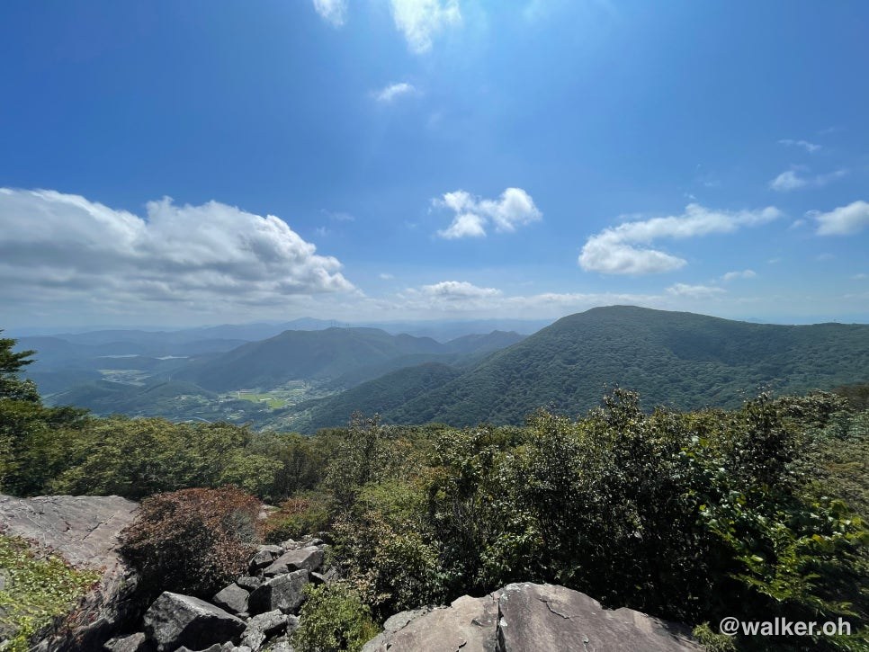
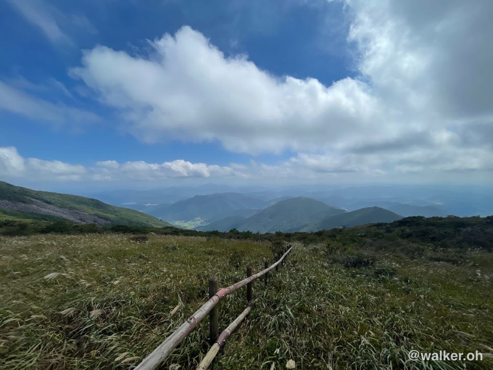
There’s just something about the sheer scale of a national park — it’s so grand it makes your heart swell.
I can’t tell you how lucky we are to have a mountain as magnificent as Mudeungsan down in the Jeolla region.
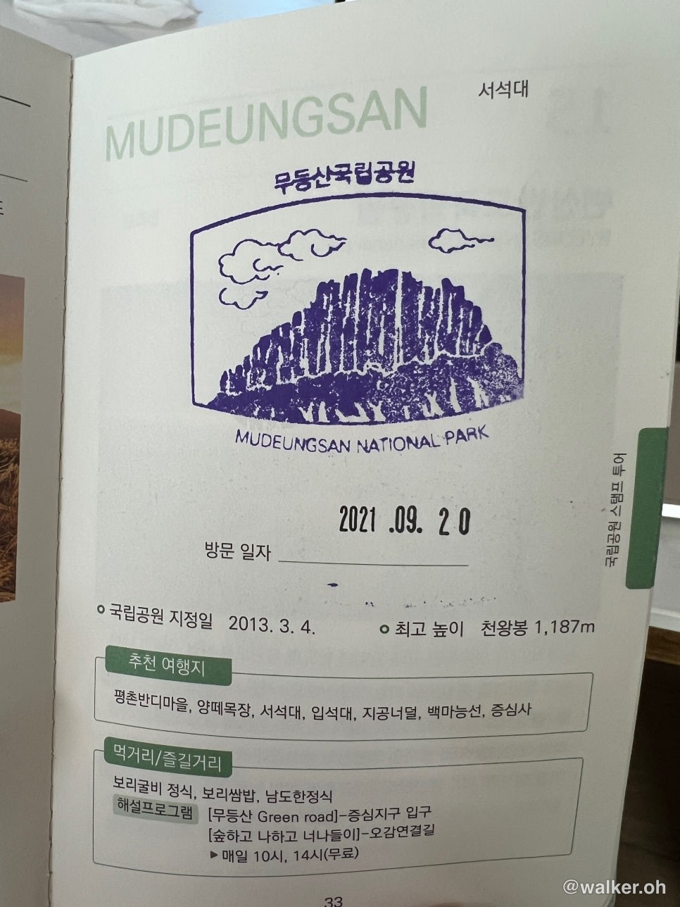
Mudeungsan is also the place where I got to pick up my National Park passport for the very first time, so I’m grateful to it.
These passports are nearly sold out and incredibly hard to come by.
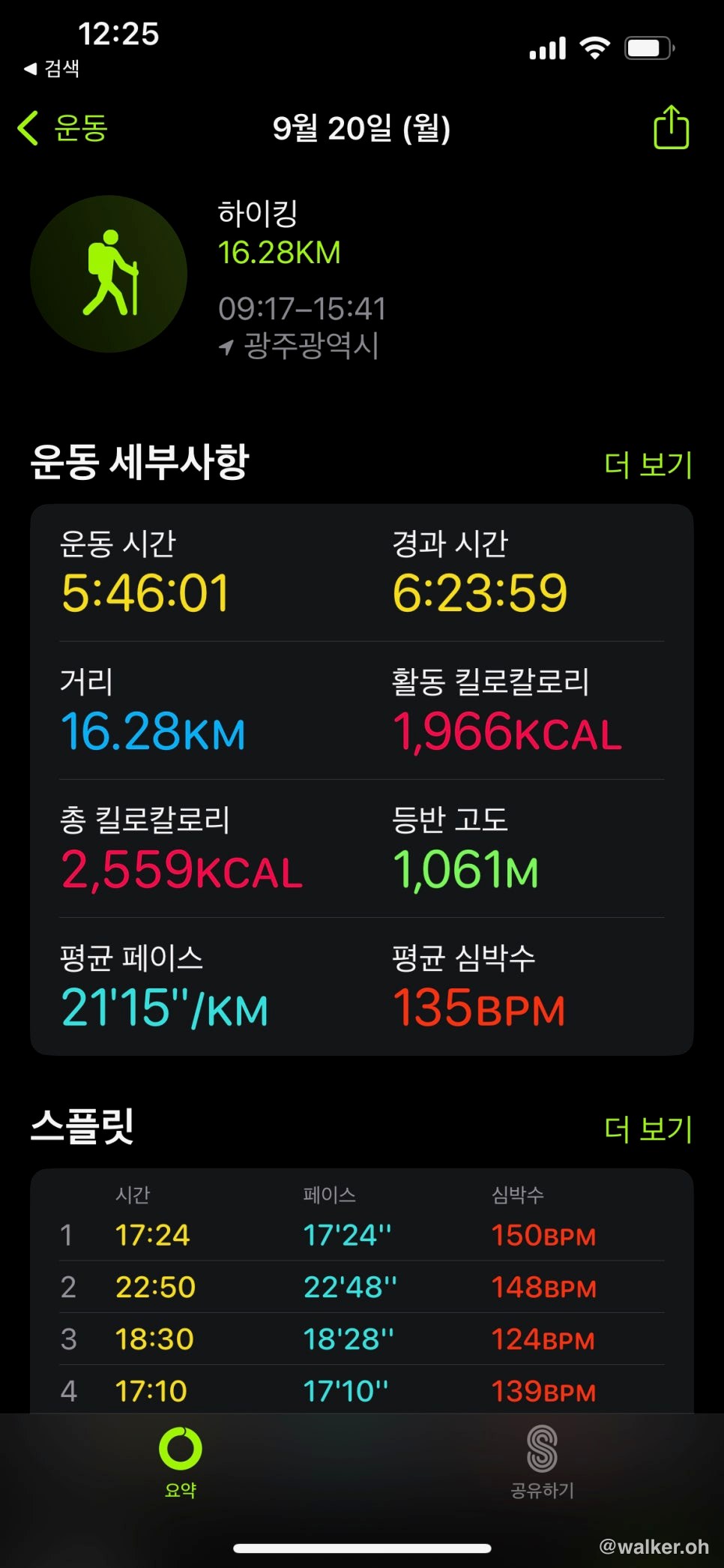
I was tracking this with an Apple Watch at the time, so I can’t pull more detailed data from the record.
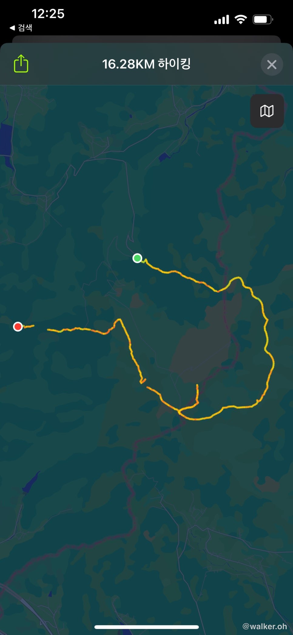
And to top it off, the GPS even cut out near the end… sigh.
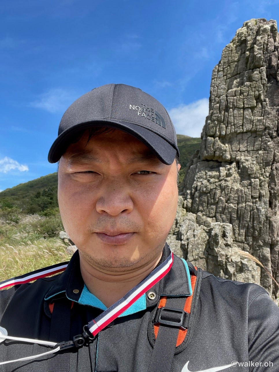
That pointed bit in the middle is the stretch where I detoured up toward Seoseokdae.
This was Mudeungsan, which I visited two years ago.
When spring comes around, it’s a mountain I really want to go back and do the full traverse on again.
Thank you.
#Mudeungsan #Wonhyosa #Jeungsimsa #LoopTraverse #NationalParkTraverse #Gyubongam
Contact: bumseok.view [at] gmail [dot] com