Hiking Simhak Mountain in Paju: A Beginner-Friendly Trail with Parking
Daily · Published 1/23/2023 ·
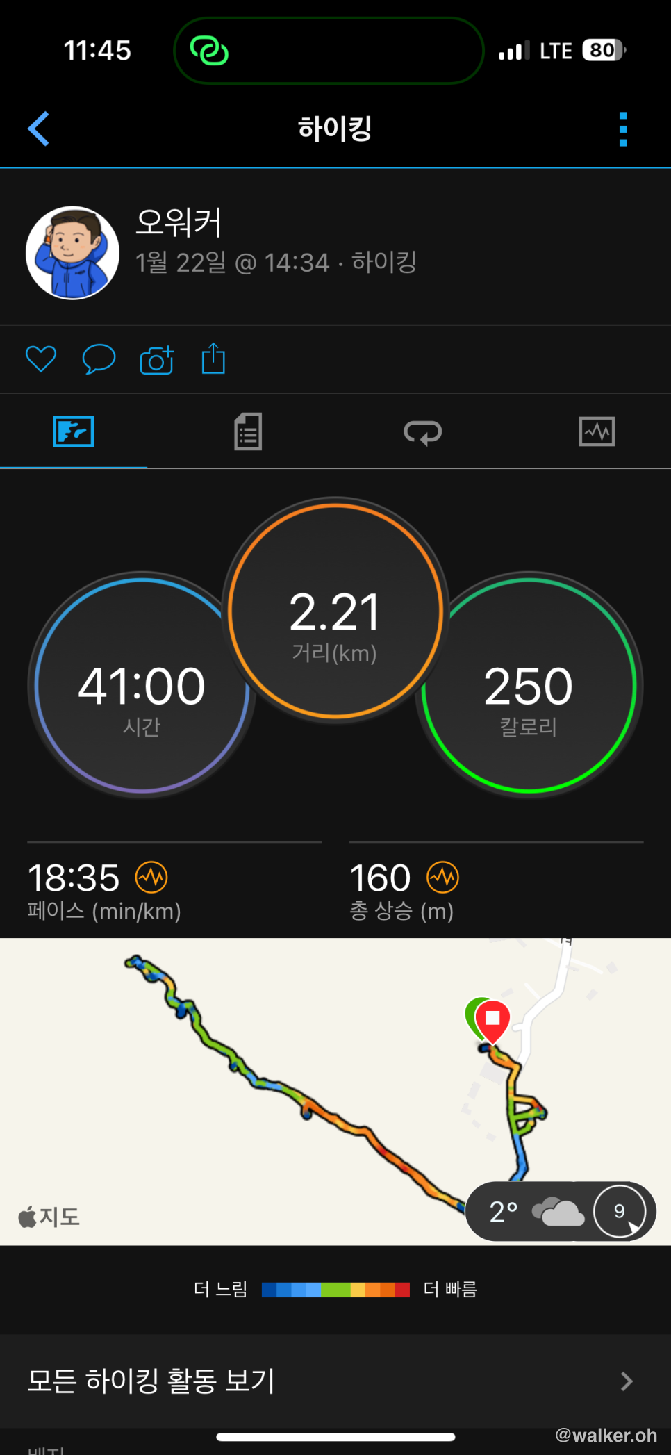
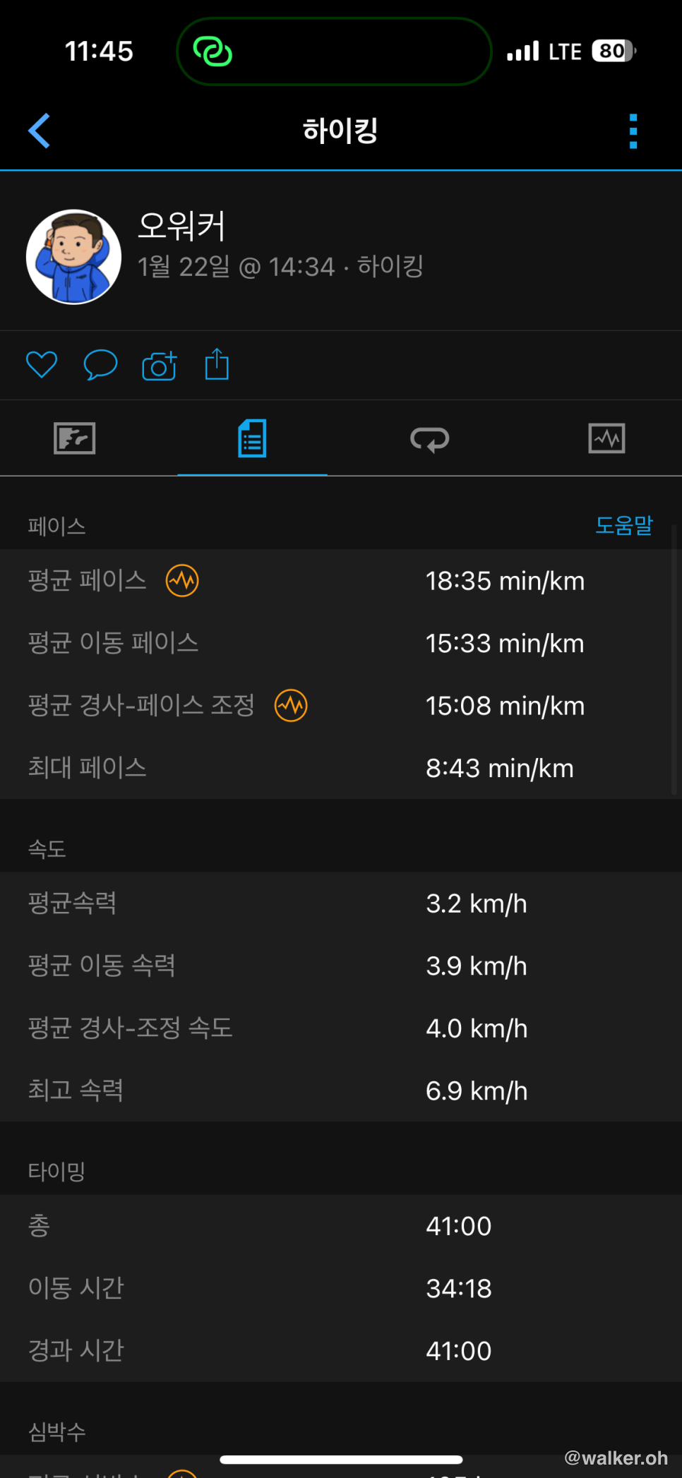
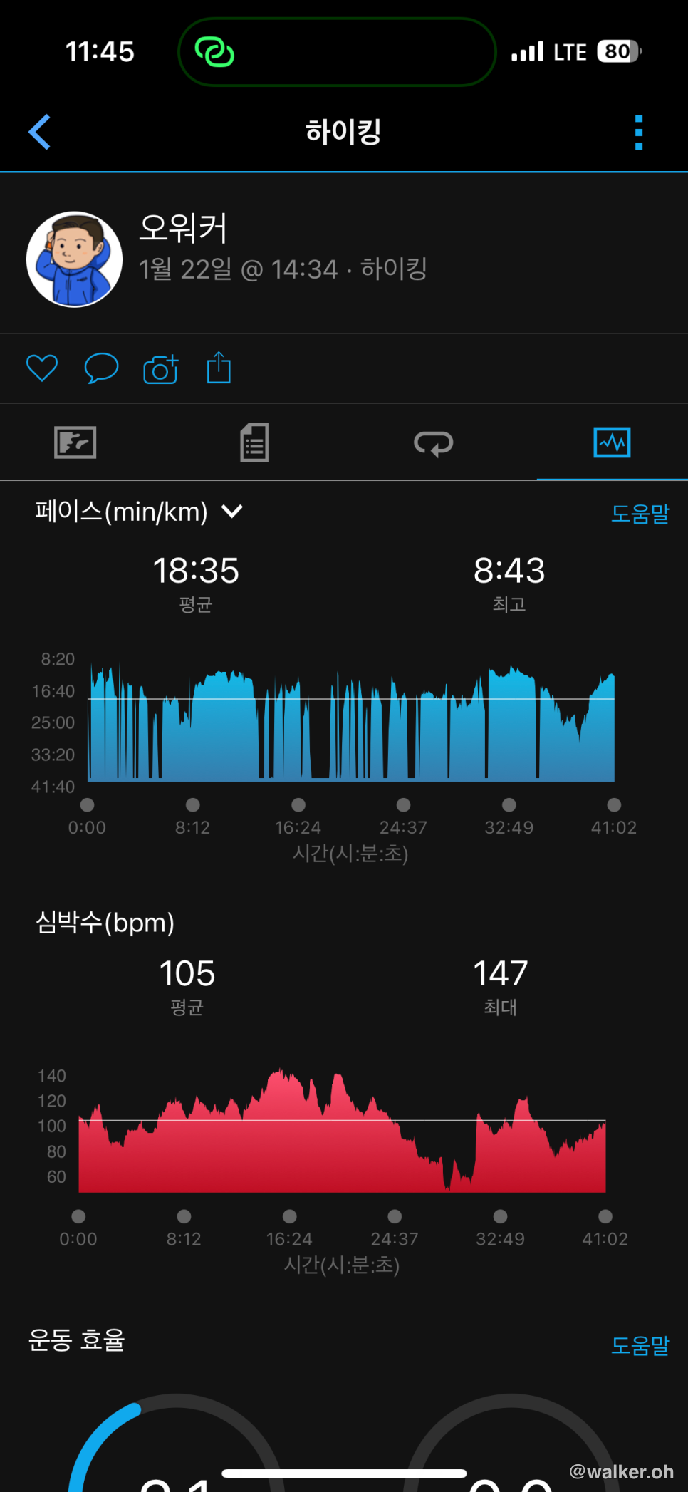
Here’s the data from my hike up Simhak Mountain in Paju. It took me 41 minutes to get to the summit and back. About 2 kilometers round trip. The elevation is just under 200 meters above sea level. I figured I’d tackle it as a bit of holiday-season diet damage control.

Previous image Next image
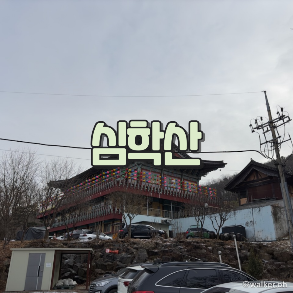
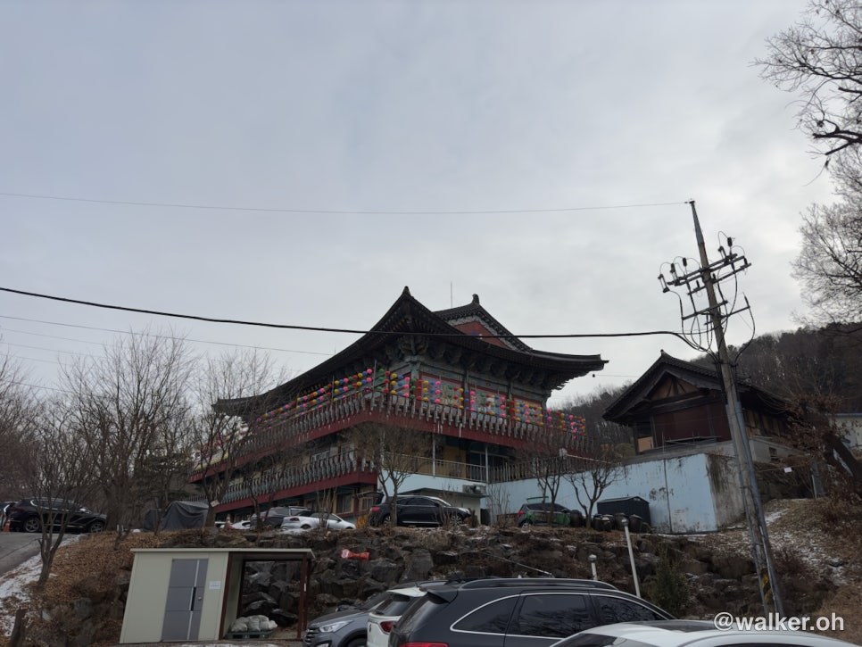
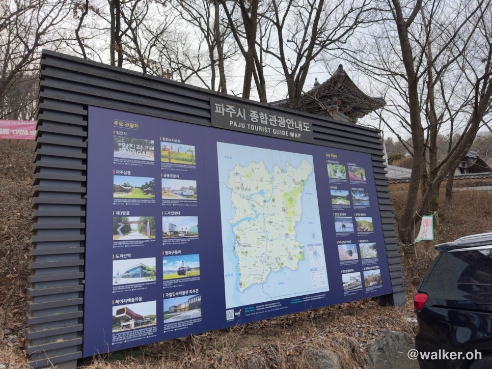
Simhak Mountain is in Paju. It’s easiest to get there by car — just punch Yakcheonsa Temple into your navigation and go.
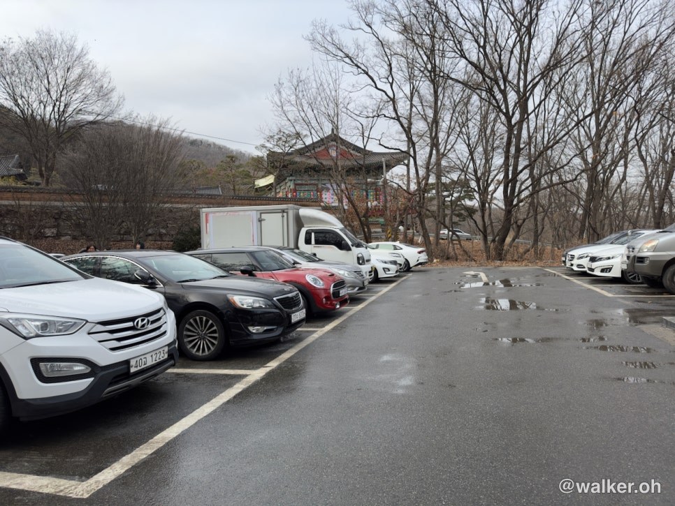
Parking is free, and you can just park in one of the upper or lower lots and start your hike from there.
[Yakcheonsa Temple
118 Gyoha-ro 681beon-gil, Paju-si, Gyeonggi-do (Yakcheonsa Temple)
](#)
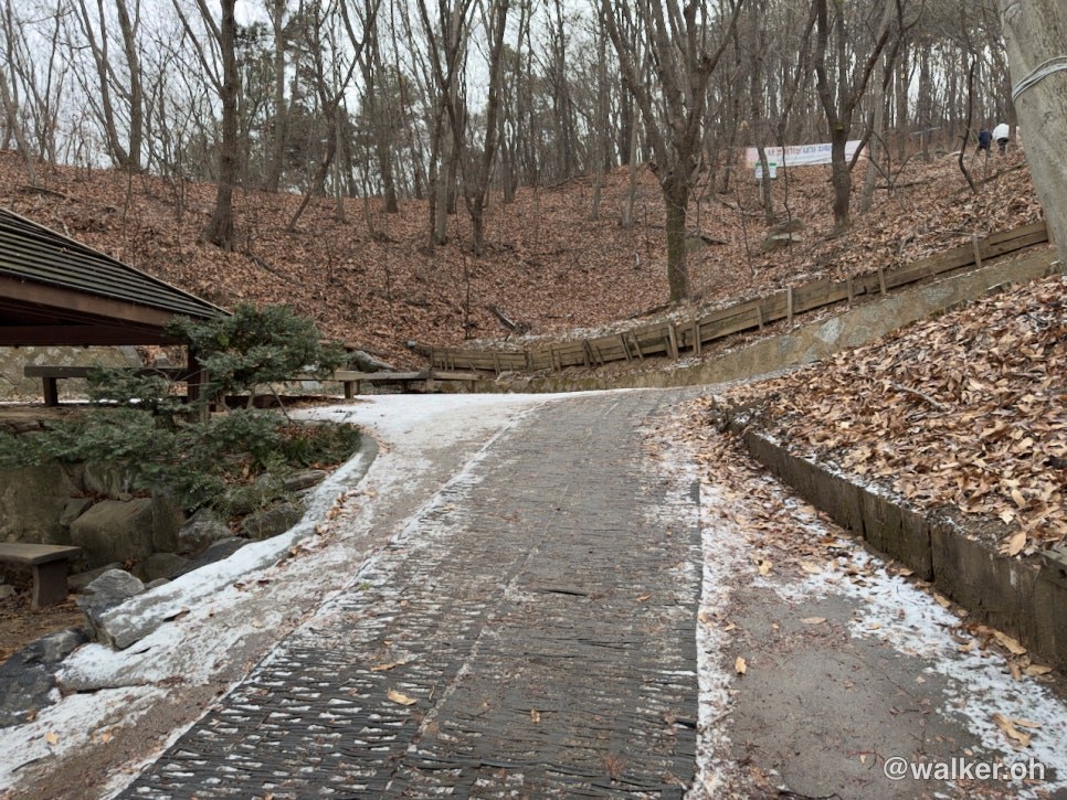
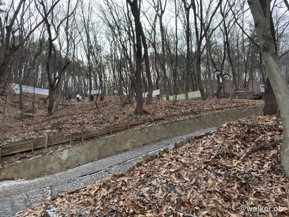
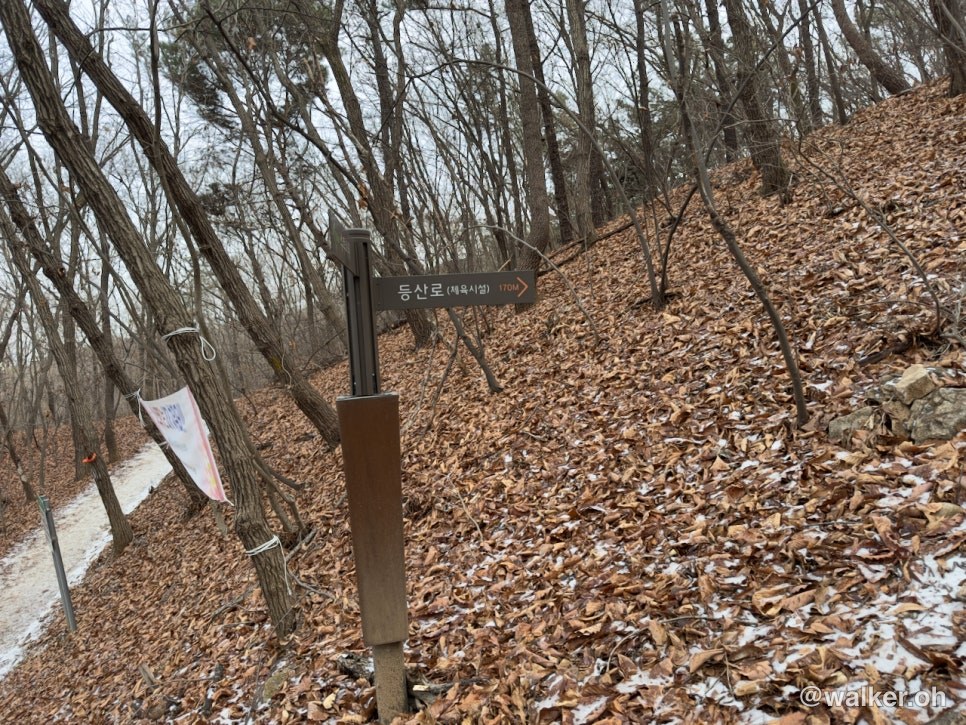
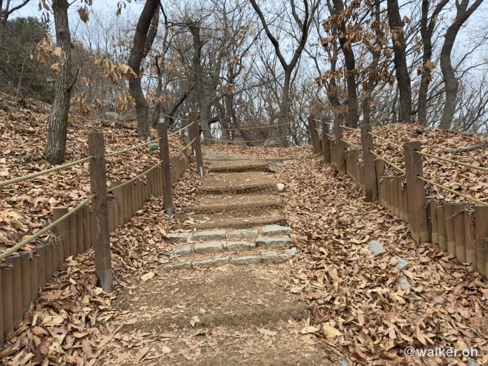
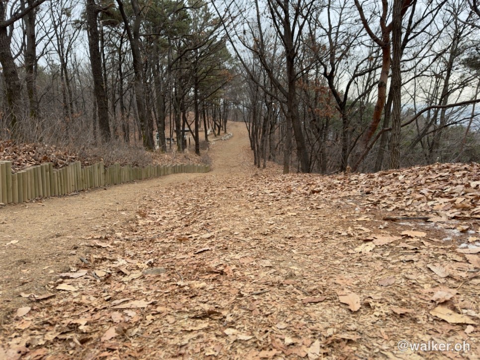
This is the start of the trail. The snow had frozen solid here. It’s a bit of a steep stretch, but once you get past this part the path gets nicer.
Previous image Next image
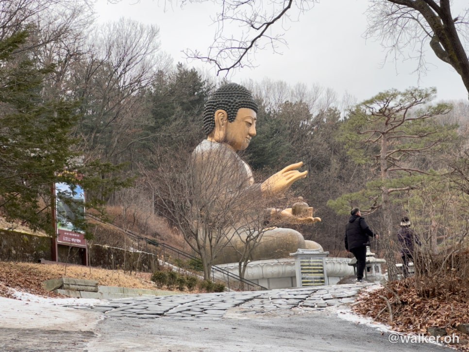
There’s a pretty big Buddha statue here — you just pass by it and keep climbing.
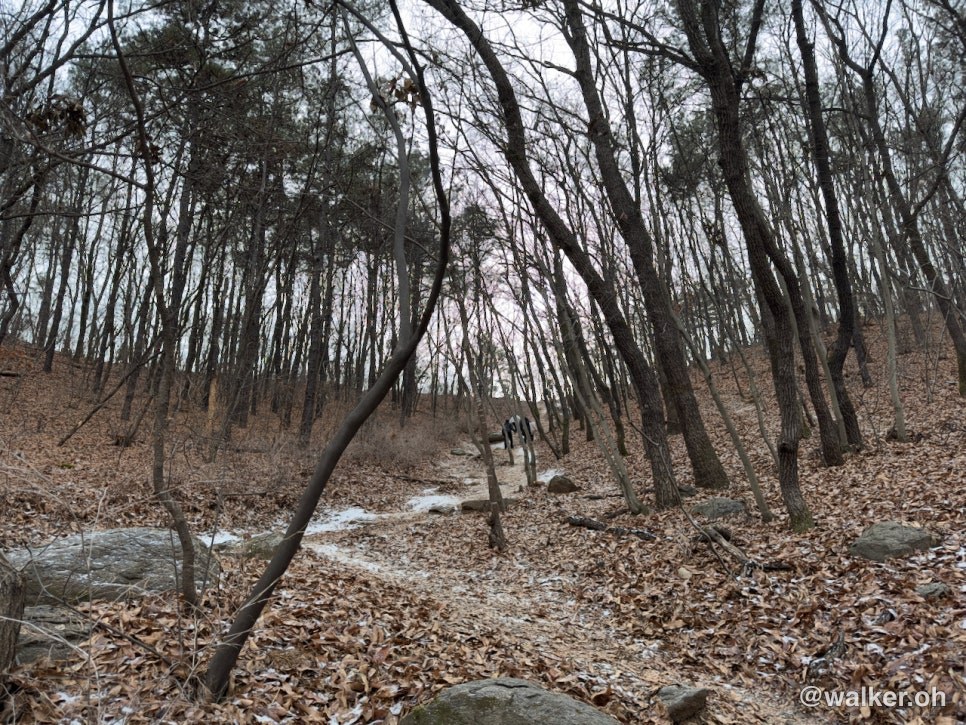
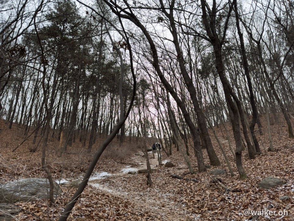
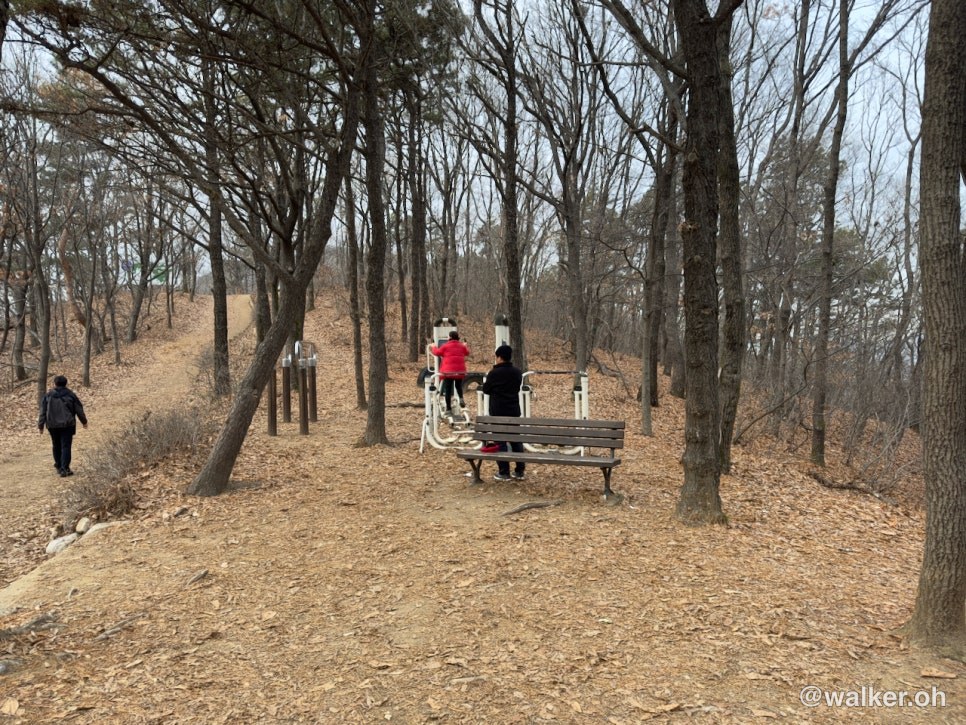
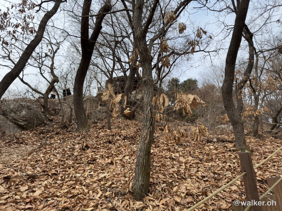
Climbing the steeper section gets you a little out of breath. But just as you’re thinking “huh, this is kind of tough,” you’re suddenly on the ridge. That’s the charm of a low mountain. Up top there’s a bit of exercise equipment. It looked like the local residents use it as a spot to work out. There’s a park near my place too that makes for a really nice walking course, and this reminded me of it.
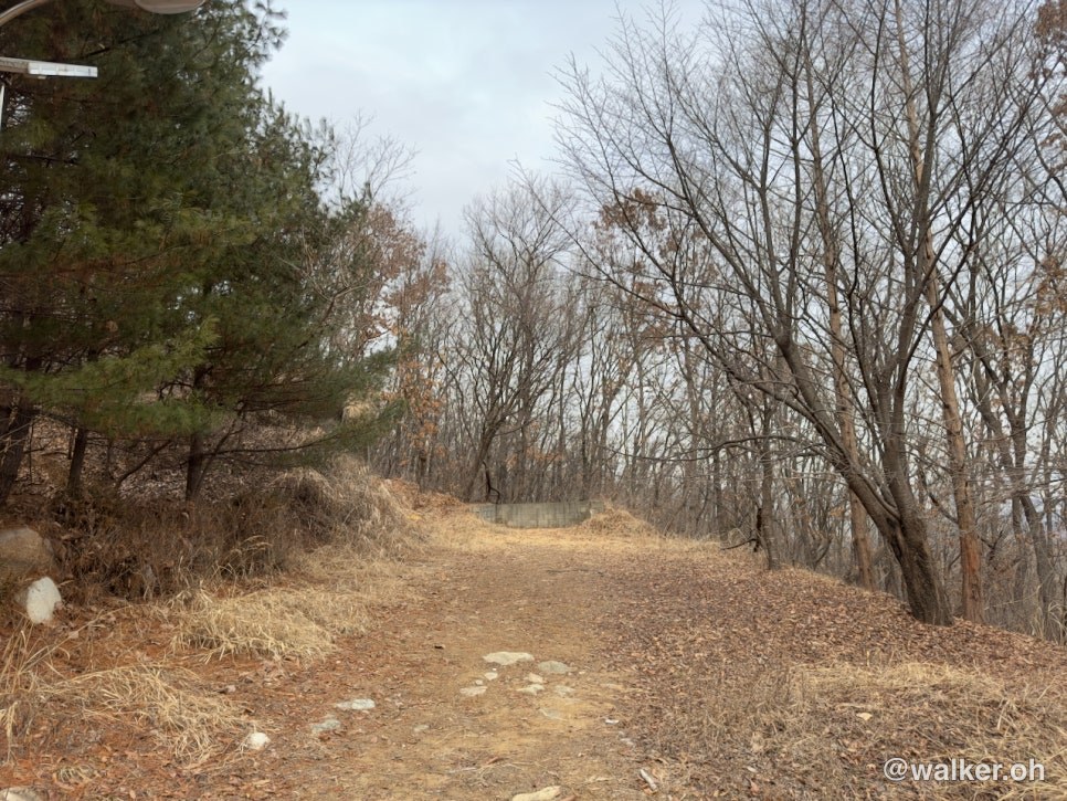
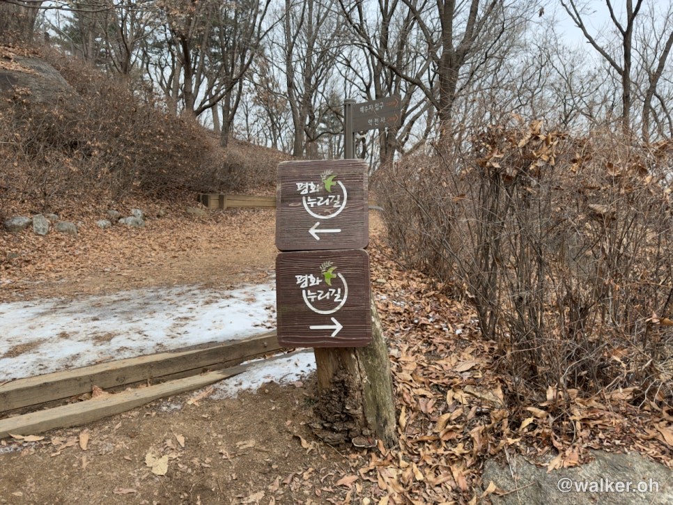
There are traces of old military installations around the trail. The further north you go, the more you really feel that this is a divided country. Even the trail is called the Peace Nuri Trail.
As you can see in the video below, the path is really good. It’s clearly wide enough that vehicles used to drive along it. Well, it’s a hiking trail now, so we might as well enjoy it~
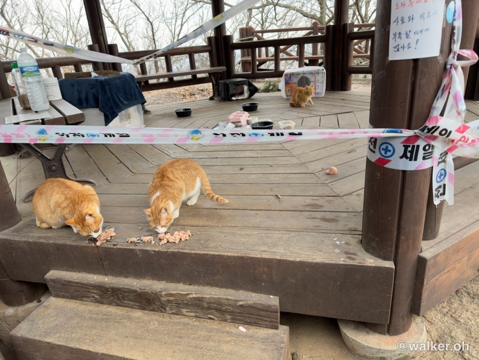
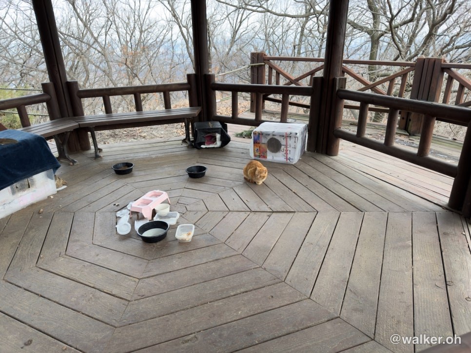
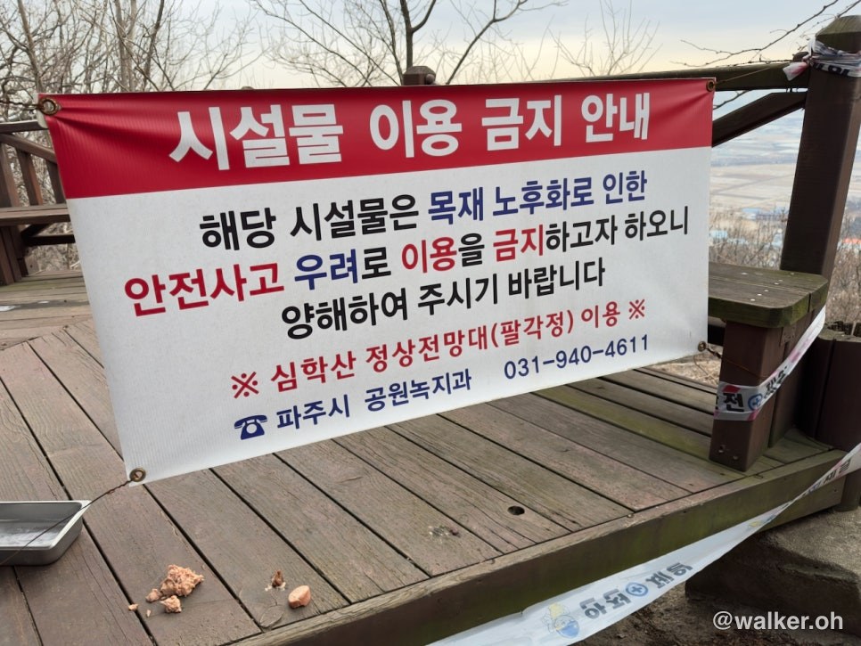
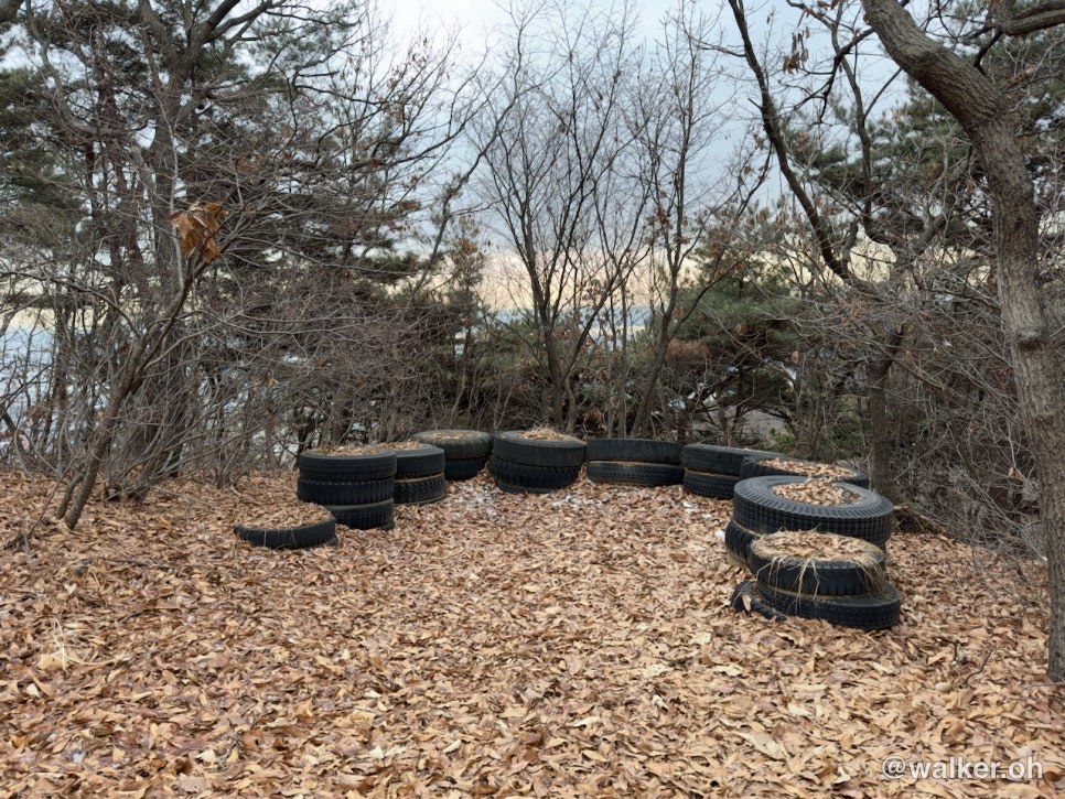
I came across an interesting spot. Even houses built out of wood last for hundreds of years, so how does a pavilion that looks like it was put up not long ago already have “deteriorated timber”…? Isn’t that a little odd? If pressure-treated lumber had been used properly, it really should last for centuries. What’s even funnier is that it’s become a home for cats…
The cats living there must have plenty of people bringing them food and water. There was even a sign posted asking people to give them food and water and look after them. Personally, I’m someone who believes it’s best to let nature take its own course, so a sign telling people to feed and care for the cats — well, I had mixed feelings about it. But everyone thinks differently, so I’ll leave it at that ^^;
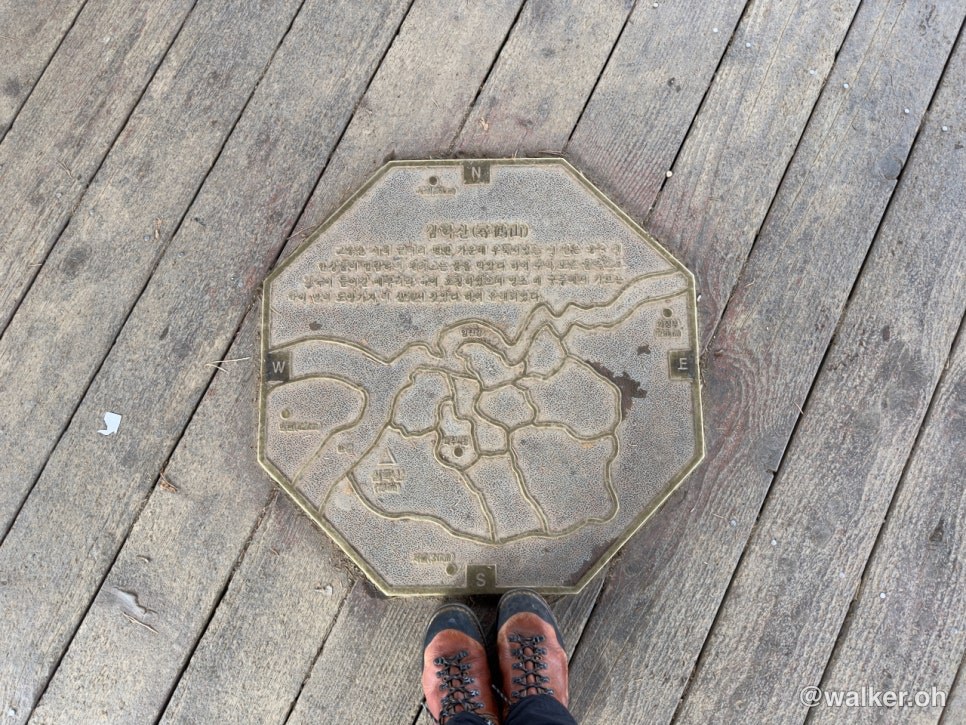
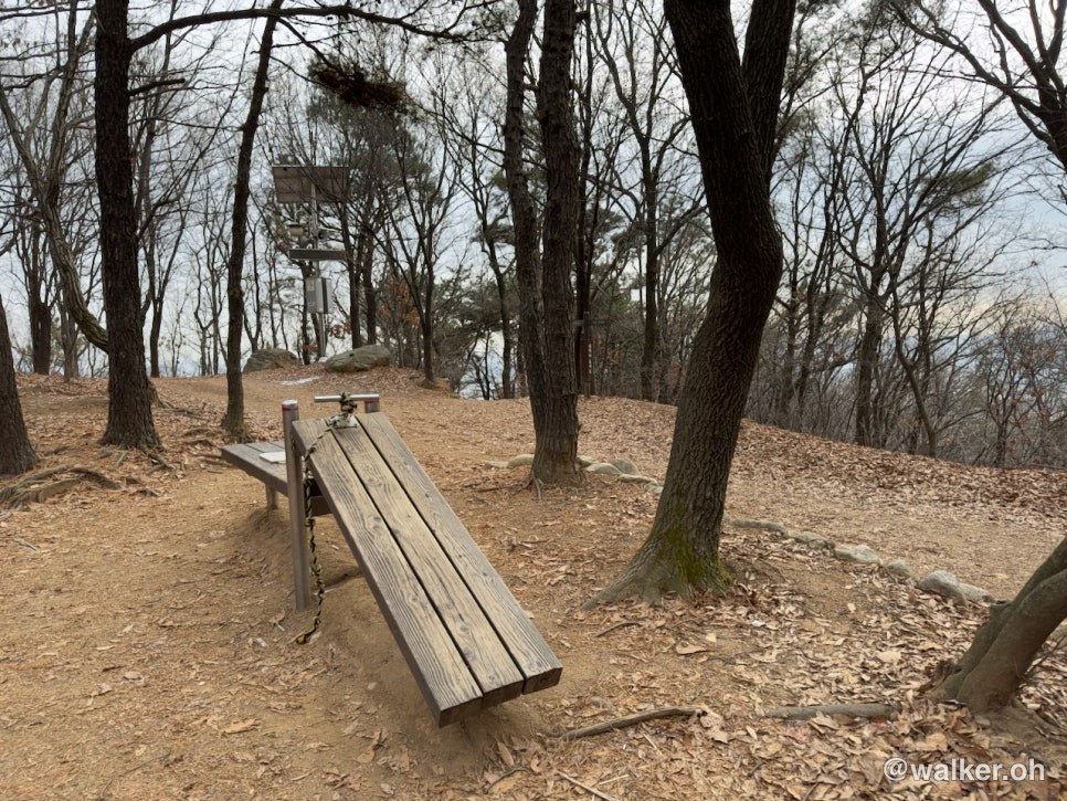
I reached the octagonal pavilion. Oddly enough, I never managed to find a summit marker stone on Simhak Mountain. There was this pavilion instead. There were “no camping, no cooking” banners hanging all over the place. If it weren’t for those, there were a lot of decks here that would have made the place a holy grail spot, hahaha.
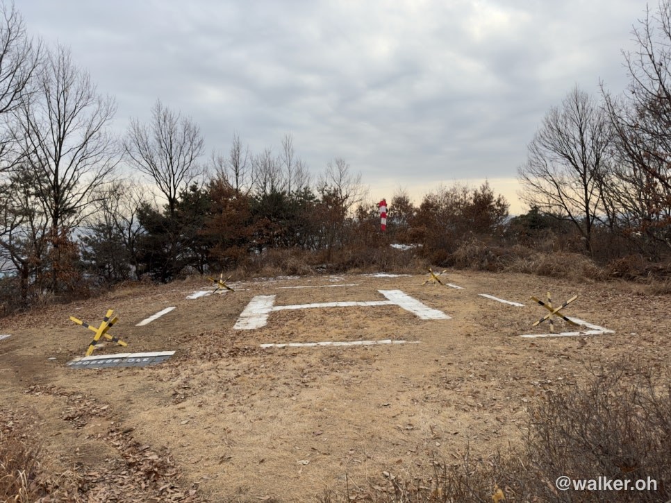
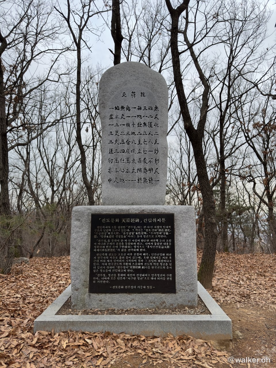
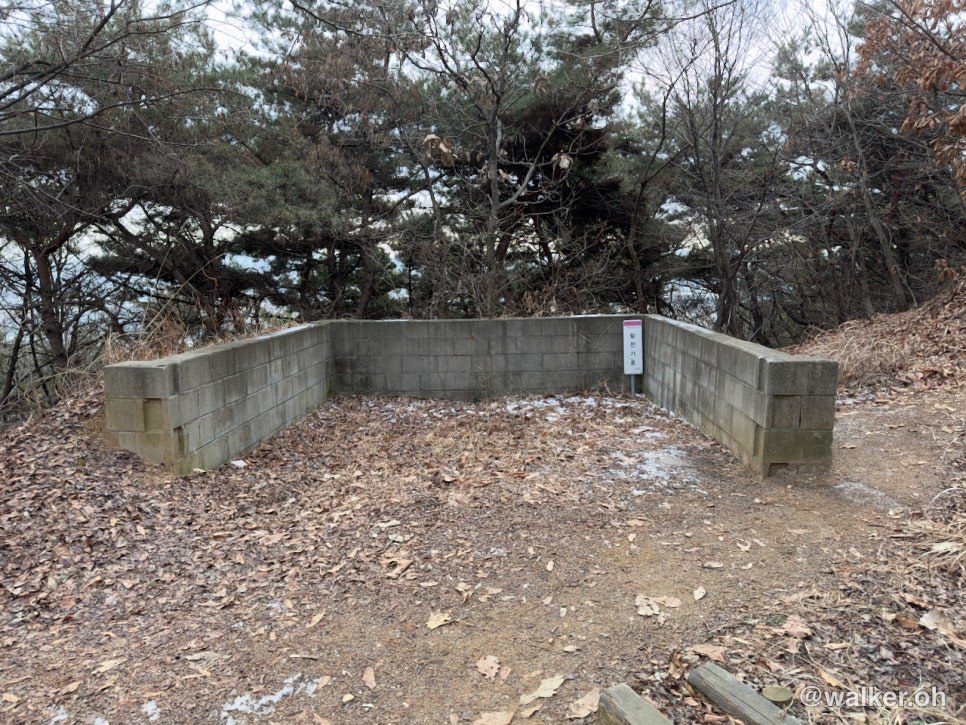
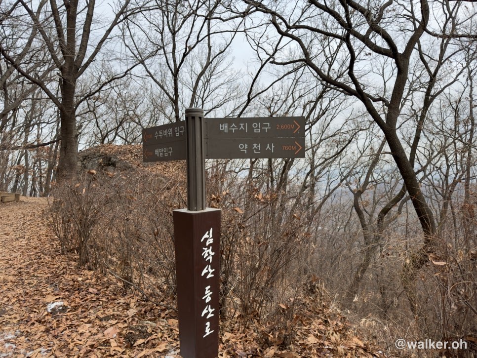
This is the helipad and bunker I saw on the way down. And a marker stone, too. It was clearly once a vehicle route and a military base, but they’ve pulled out. Which makes me wonder — wouldn’t it have been better to clear it all away nicely?
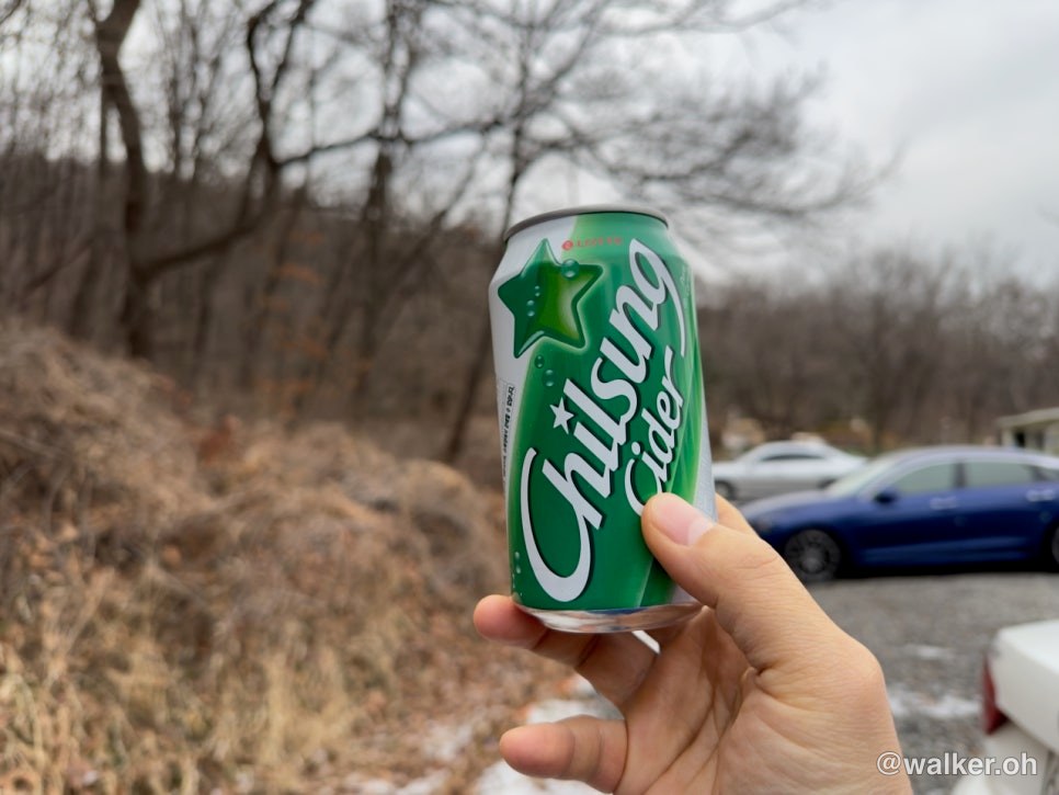
And of course, the finale is a cider. I found one sitting in the trunk of my car, and honestly it felt like reuniting with a long-lost uncle.
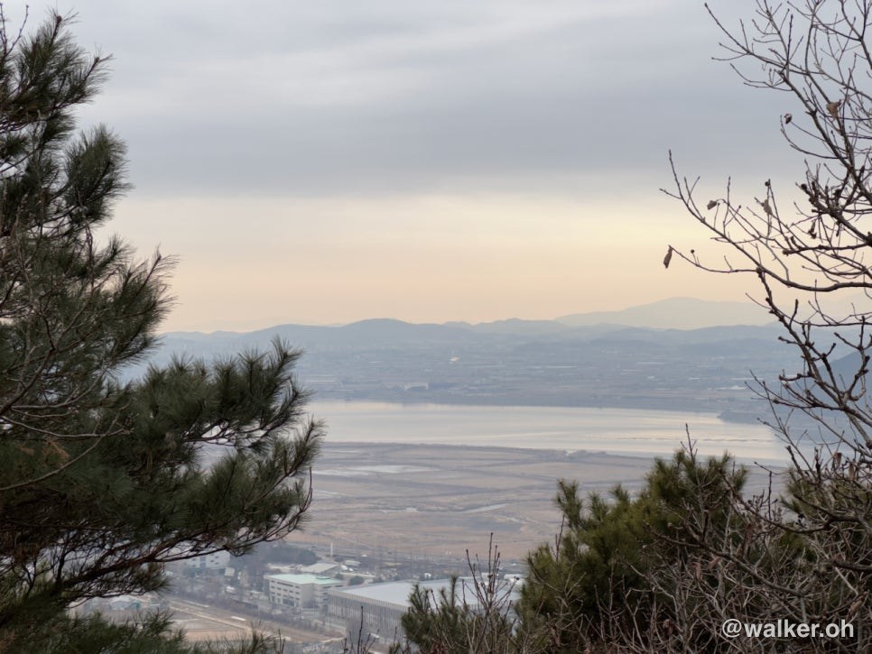
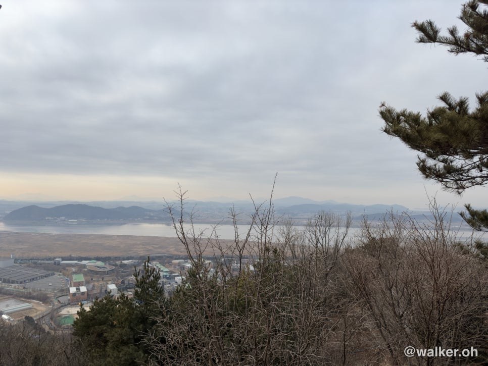
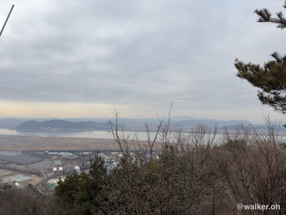
I’ve been scouting around for mountains on the west side of Seoul that I can tackle with hiking beginners, and Paju’s Simhak Mountain has a bit of a “lung-buster” climb to it, plus a ridge. It’s got all the bits and pieces you’d want from a hike, and from the summit you get a wide, refreshing view over the Paju plains. And — is that the Imjin River? Or where it meets the Han River? — you can see that part well too. It was a lovely hike. The only thing is it might feel a touch too easy, so it could be nice to do a loop around the perimeter trail before heading up. From the west side of Seoul you can get there, parking included, in about an hour — it’s a touch far, but I figured it’s one of the few mountains you can reach without the traffic jams that take over an hour just to cross through Seoul.
The temperature was 4°C. For clothing, I wore Klättermusen Gere 2.0 pants with no base layer underneath. Up top I layered two workout shirts and finished it off with an Arc’teryx Alpha SV. I was a little cold before I started climbing, but once I got going it was just right. By the time I reached the summit I’d worked up a light sweat. I had all my Brynje gear in the wash so I couldn’t help it, but I really do think Brynje is great. For something around 200 meters high and 2 kilometers long, I think you can get away without worrying much about what you wear — toss on a jacket, take it off and tie it around your waist, put it back on when you get cold, that kind of thing is perfectly fine.
Thank you.
#LowMountainsNearSeoul #BeginnerHikingMountains #SimhakMountain #SimhakMountainParking #HikingWithParking
Contact: bumseok.view [at] gmail [dot] com